Loading trail…

Free — you'll pick up right here.
Watch this trail
Sign up to watch it — saving subscribes you to gate, closure and report changes.
North Dakota
11.6 mi
Distance
1,378 ft
Gain
4h 3m
Time
We won't guess. Here is exactly what we do and don't know.
What we do know
Inside Dakota Prairie Grasslands
2 managing-area boundaries mapped — agency alerts for them feed this page automatically.
Boundary data
What's missing
No access route mapped
We don't yet know which road reaches this trailhead, so we can't tell you if it's gated.
Nobody's filed a report here yet — be the first.
Why you'll love it
Long X
AI-suggested draft · review before you go
No permit or access details on file for this trail — check with the local land manager before you go.
Long X is an 11.56-mile out-and-back trail in North Dakota that offers a substantial day hike through the region's characteristic terrain. This trail provides hikers with an extended journey into the landscape, rewarding effort with expansive views and a sense of remote exploration typical of North Dakota's backcountry.
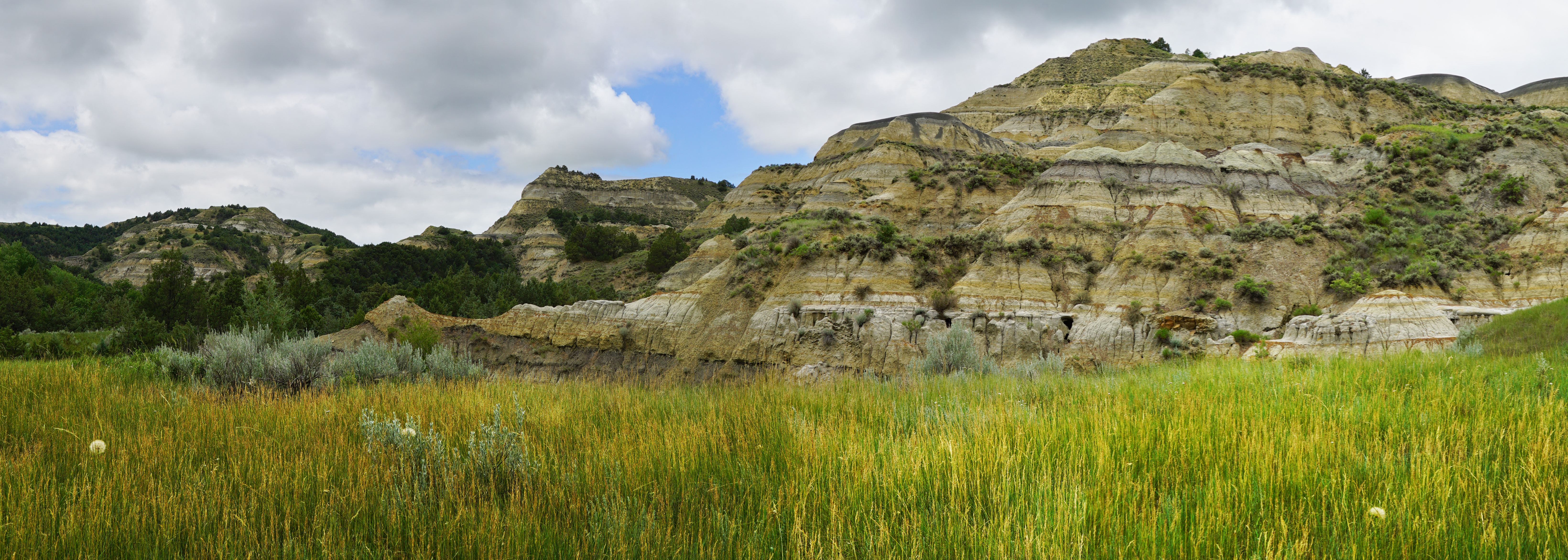
Caprock Coulee Trailhead
~8 min drive
The Caprock Coulee Nature Trail is a 0.8 mile section of the Caprock Coulee Trail in the park's North Unit. The nature trail trail shows the natural and geologic variety of the badlands. It also provides a rare look at a densely wooded area of the park.<br /> <br /> When you r…
Summit Viewpoint
~7 min drive
Quick out-and-back hike to scenic viewpoint in North Dakota.
Bennett
~8 min drive
6.12-mile out-and-back prairie hike near Bennett, North Dakota.
Ice Caves
~28 min drive
3-mile out-and-back hike to natural ice cave formations in North Dakota badlands.
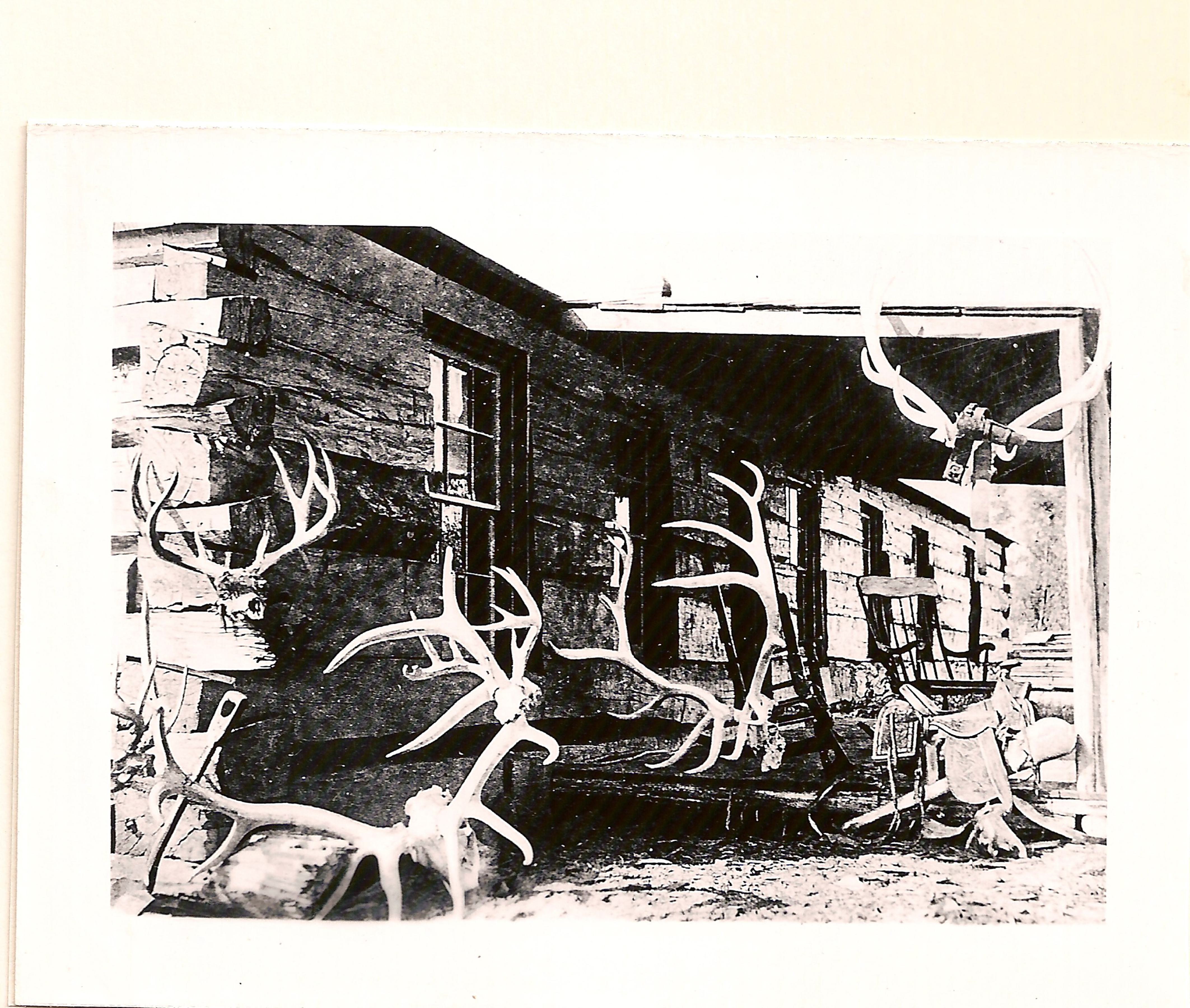
Elkhorn Ranch Trailhead
~44 min drive
This is the trail head that leads to the spot where Theodore Roosevelt's Elkhorn Ranch once stood. The .7 mile trail weaves through cottonwood trees to the banks of the Little Missouri River where the cabin's foundation stones remain.
Sather Lake
~42 min drive
Easy 0.4-mile lollipop walk around Sather Lake.
Cottonwood
~12 min drive
13.86-mile out-and-back badlands hike with expansive prairie views.
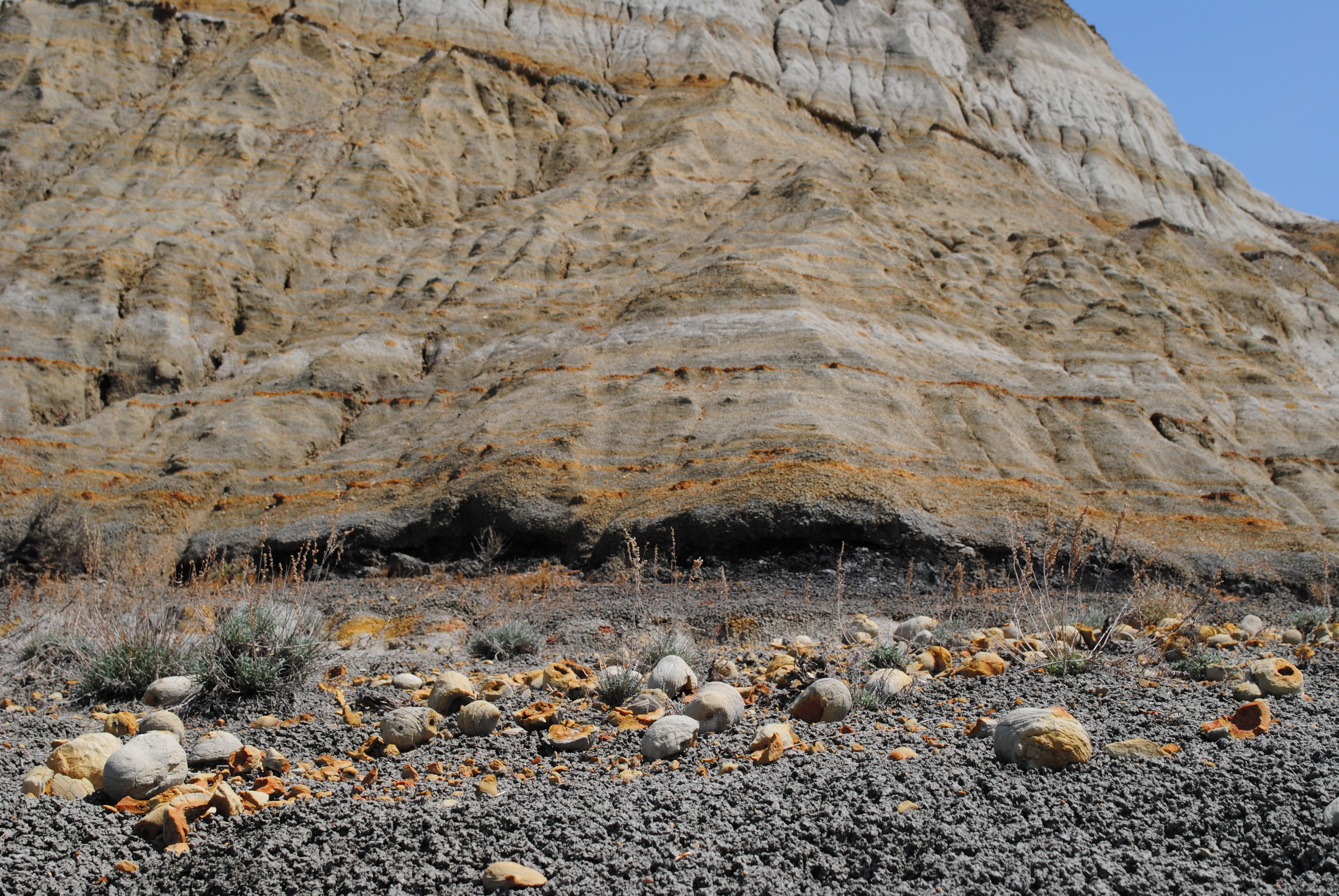
Coal Vein Trail Post 1: Layers
~1h 14m drive
Each layer of rock has its own origin story, told by its color.<br /> <br /> <span style="color:#e74c3c;"><strong>Brick-Red</strong></span><br /> <strong>Clinker</strong> forms when coal veins catch fire and bake the rock above, changing it into this much harder, red rock.<br…
Maah Daah Hey - North Dakota
~14 min drive
Point-to-point badlands trail featuring dramatic formations and prairie views.
Summit Trail
~4 min drive
A 3.90-mile point-to-point trail in North Dakota with accessible hiking.