Loading trail…

Free — you'll pick up right here.
Watch this trail
Sign up to watch it — saving subscribes you to gate, closure and report changes.
North Dakota
2.6 mi
Distance
1,278 ft
Gain
1h 6m
Time
We won't guess. Here is exactly what we do and don't know.
What we do know
Inside Theodore Roosevelt National Park
National Park unit boundary is mapped — agency alerts for it feed this page automatically.
Boundary data
What's missing
No access route mapped
We don't yet know which road reaches this trailhead, so we can't tell you if it's gated.
Nobody's filed a report here yet — be the first.
Why you'll love it
Caprock Coulee Trailhead
AI-suggested draft · review before you go
No permit or access details on file for this trail — check with the local land manager before you go.
The Caprock Coulee Nature Trail is a 0.8 mile section of the Caprock Coulee Trail in the park's North Unit. The nature trail trail shows the natural and geologic variety of the badlands. It also provides a rare look at a densely wooded area of the park.<br /> <br /> When you reach the end of the nature trail, turn back for a trip totaling 1.6 miles. Or, if you are prepared for a longer hike, continue on the Caprock Coulee Trail for a hike of 4.1 miles. Wear sturdy shoes and appropriate clothing. Carry extra water and a trail map.<br /> <br /> As you hike, stop at each numbered trail post and read the corresponding text below. <strong>Remember </strong>to Leave No Trace; Help preserve the park for future generations by leaving everythign just the way you find it.
Elkhorn Ranch Trailhead
~49 min drive
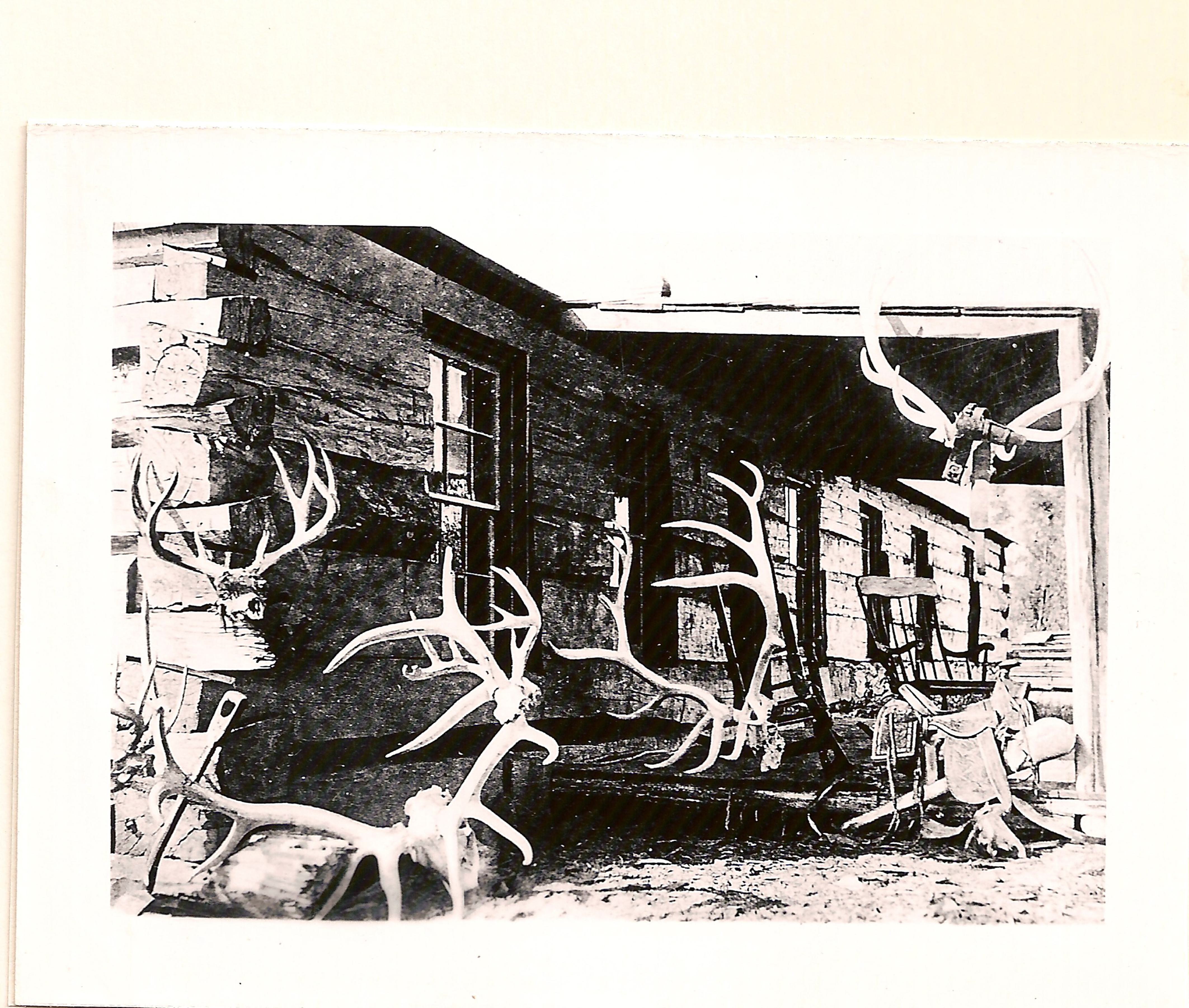
This is the trail head that leads to the spot where Theodore Roosevelt's Elkhorn Ranch once stood. The .7 mile trail weaves through cottonwood trees to the banks of the Little Missouri River where the cabin's foundation stones remain.
Wolf
~8 min drive
17.5-mile out-and-back badlands trek in remote northwestern North Dakota.
Summit Viewpoint
~12 min drive
Quick out-and-back hike to scenic viewpoint in North Dakota.
Ice Caves
~35 min drive
3-mile out-and-back hike to natural ice cave formations in North Dakota badlands.
Coal Vein Trail Post 1: Layers
~1h 21m drive
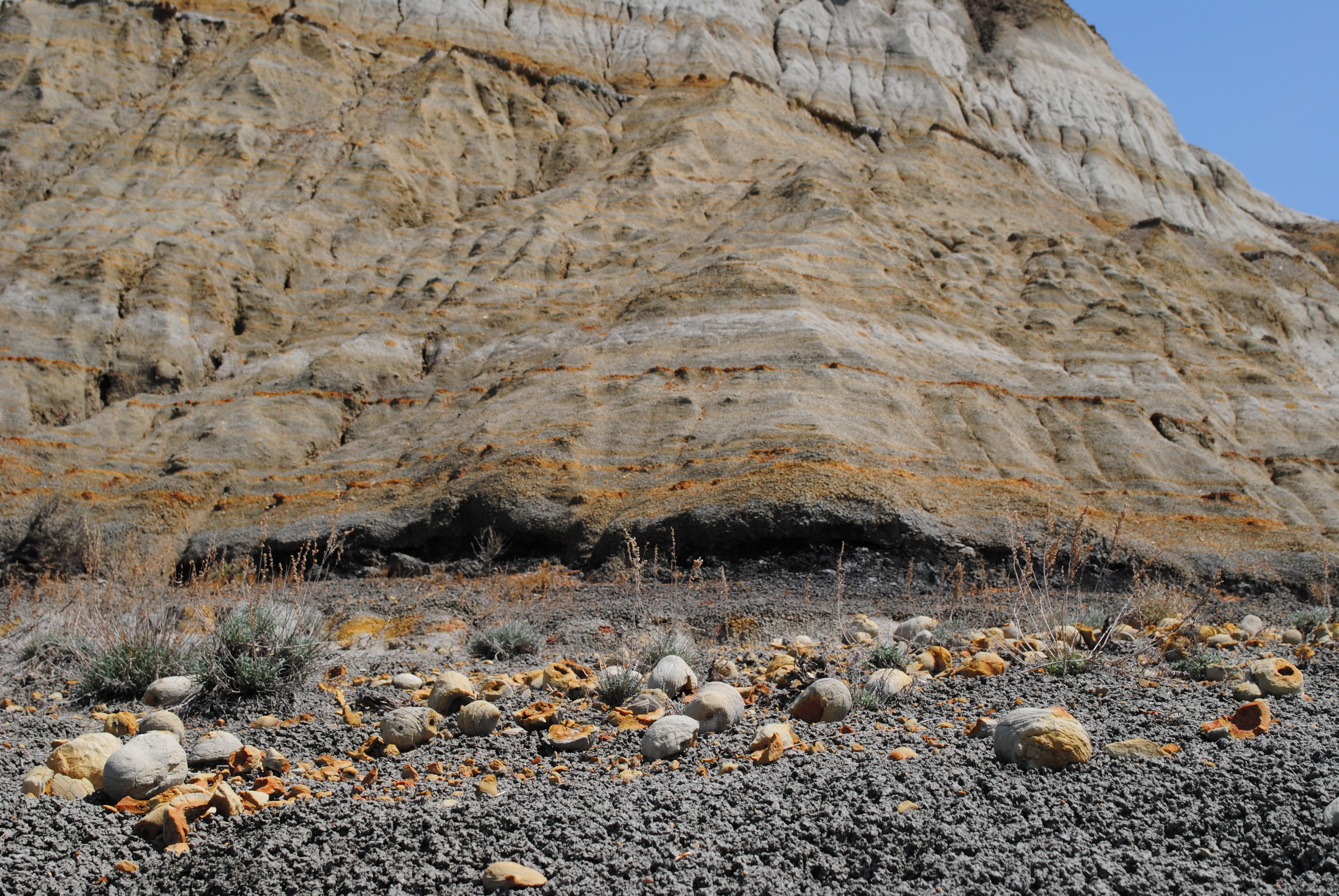
Each layer of rock has its own origin story, told by its color.<br /> <br /> <span style="color:#e74c3c;"><strong>Brick-Red</strong></span><br /> <strong>Clinker</strong> forms when coal veins catch fire and bake the rock above, changing it into this much harder, red rock.<br…
Long X
~8 min drive
An 11.56-mile out-and-back North Dakota trail offering extended backcountry hiking.
Sather Lake
~37 min drive
Easy 0.4-mile lollipop walk around Sather Lake.
Caprock Coulee Trail
~1 min drive
Short out-and-back hike into a scenic North Dakota coulee.
Bennett
~14 min drive
6.12-mile out-and-back prairie hike near Bennett, North Dakota.
North Achenbach Trail
~1 min drive
5.53-mile out-and-back badlands trail in North Dakota.