Loading trail…

Free — you'll pick up right here.
Watch this trail
Sign up to watch it — saving subscribes you to gate, closure and report changes.
North Dakota
0.8 mi
Distance
112 ft
Gain
19 min
Time
We won't guess. Here is exactly what we do and don't know.
What we do know
Inside Theodore Roosevelt National Park
National Park unit boundary is mapped — agency alerts for it feed this page automatically.
Boundary data
What's missing
No access route mapped
We don't yet know which road reaches this trailhead, so we can't tell you if it's gated.
Nobody's filed a report here yet — be the first.
Why you'll love it
Coal Vein Trail Post 1: Layers
AI-suggested draft · review before you go
No permit or access details on file for this trail — check with the local land manager before you go.
Each layer of rock has its own origin story, told by its color.<br /> <br /> <span style="color:#e74c3c;"><strong>Brick-Red</strong></span><br /> <strong>Clinker</strong> forms when coal veins catch fire and bake the rock above, changing it into this much harder, red rock.<br /> <br /> <span style="color:#ffcc99;"><strong>Brown and Tan</strong></span><br /> <strong>Sandstone, siltstone, </strong>and <b>mudstone</b> are sediments washed down from the Rocky Mountains.<br /> <br /> <strong>Black<br /> Coal</strong> is the remains of ancient plants and animals that lived in Everglades-like swamps.<br /> <br /> <strong><span style="color:#7f8c8d;">Blue-grey</span></strong><br /> <span style="color:null;"><strong>Bentonite clay </strong>is made of ash from distant volcanoes.</span>
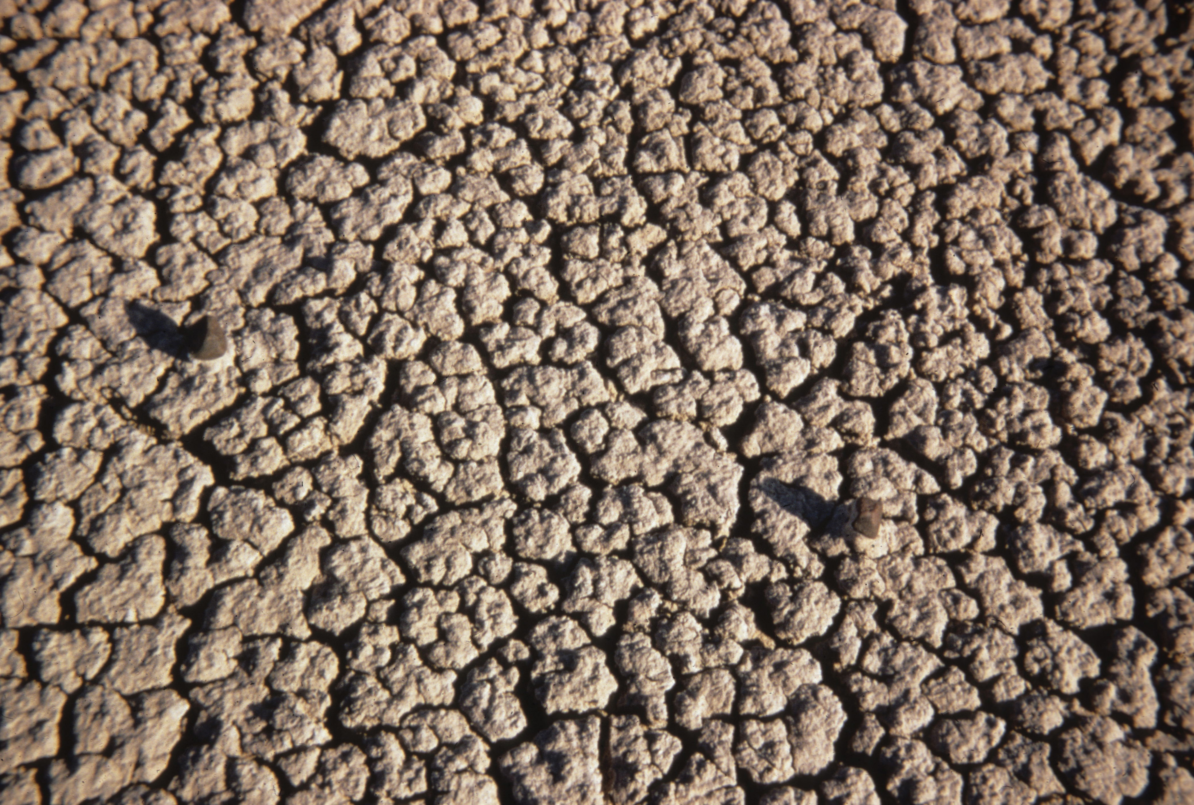
Coal Vein Trail Post 3: Bentonite
~0 min drive
Notice the sediment on either side of the trail. Fifty-Five million years ago, volcanoes in the Rockies spewed out ash that blew east. At that time, this area was a vast, tropical swamp. The ash settled in wet areas and became bentonite clay. <br /> <br /> Bentonite looks like…
Coal Creek
~20 min drive
Easy out-and-back creek walk in North Dakota.
Buffalo Gap
~23 min drive
Moderate 11.90-mile out-and-back badlands hike through scenic canyon terrain.
Ice Caves
~46 min drive
3-mile out-and-back hike to natural ice cave formations in North Dakota badlands.
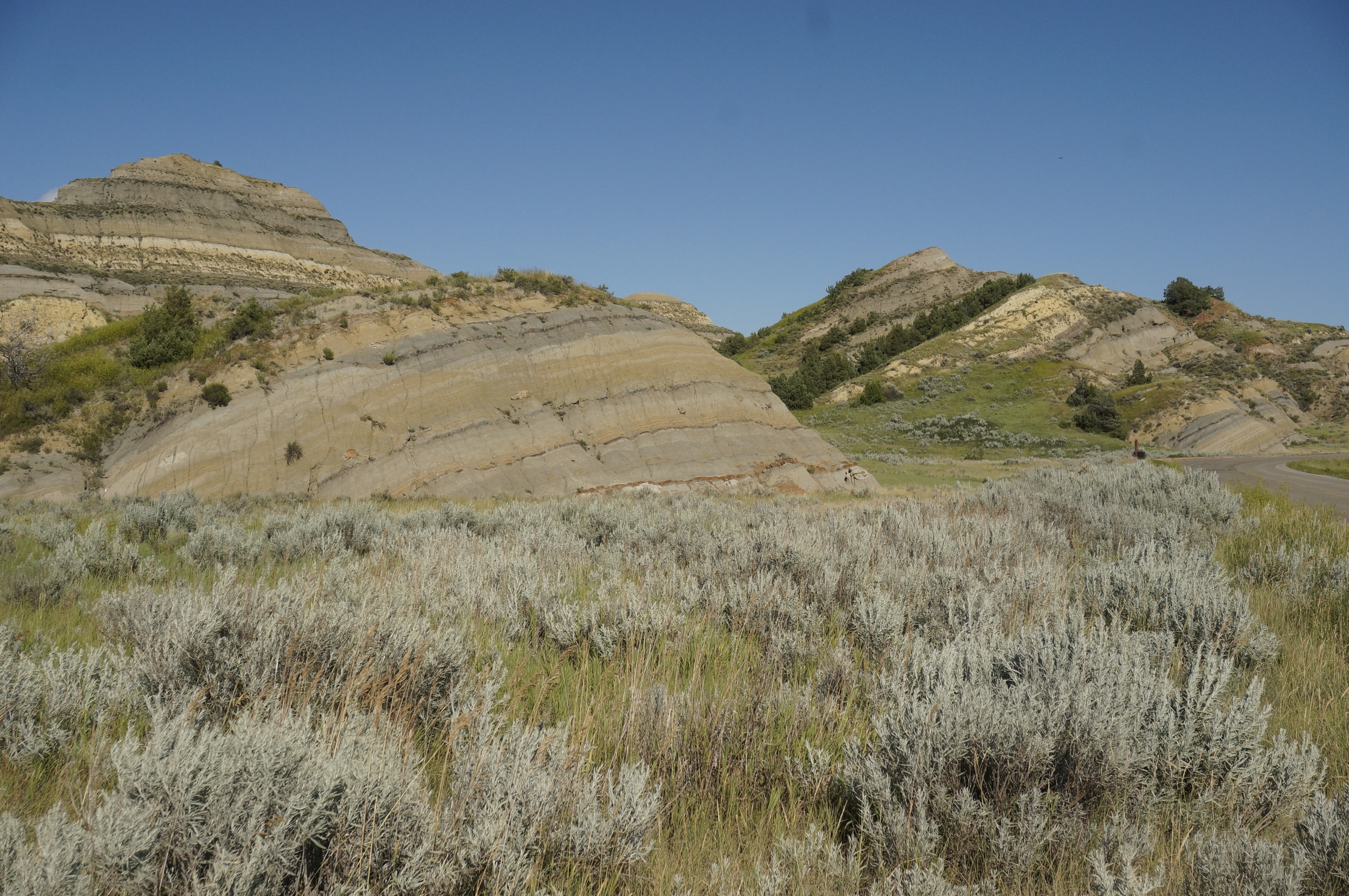
Coal Vein Trail Post 13: Slumping
~0 min drive
The hill in front of you has the appearance of sliding slowly into a jumble. That is exactly what it is doing through a process called slumping.<br /> <br /> When the coal vein burned under this area, cracks formed in the hillside. Rain flowing into the cracks weakens the hill…
Buffalo Gap Loop
~22 min drive
Easy 2.68-mile loop through North Dakota's scenic Buffalo Gap area.
Maah Daah Hey - North Dakota
~60 min drive
Point-to-point badlands trail featuring dramatic formations and prairie views.
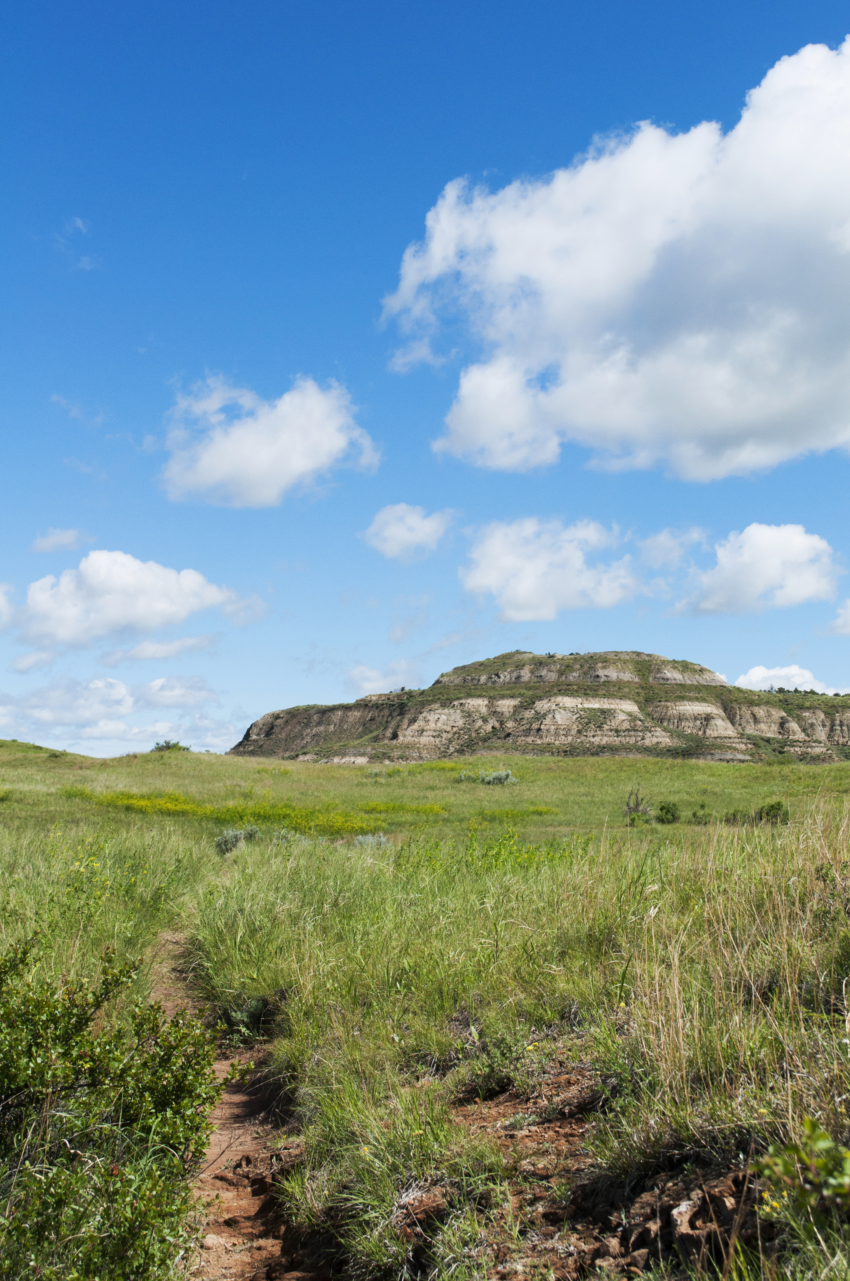
Coal Vein Trail Post 14: Grassland
~0 min drive
When the underground coal fire was burning, this area looked more like a wasteland than a grassland. After the fire burned out, prairie plants reclaimed the land slowly over time.<br /> <br /> From a distance, prairie may look plain, but it is actually one of the most diverse…
Summit Viewpoint
~1h 14m drive
Quick out-and-back hike to scenic viewpoint in North Dakota.
Cottonwood
~1h 2m drive
13.86-mile out-and-back badlands hike with expansive prairie views.