Loading trail…

Free — you'll pick up right here.
Watch this trail
Sign up to watch it — saving subscribes you to gate, closure and report changes.
New Mexico
9.2 mi
Distance
829 ft
Gain
No agency boundary, access route or field report is mapped to it — so there is no verdict, and we won't guess. We'll tell you the moment this trail has something to say.
Covered nearby
Trails within 25 miles where we do have a current picture.
Nobody's filed a report here yet — be the first.
Why you'll love it
Cdt - New Mexico Section
AI-suggested draft · review before you go
No permit or access details on file for this trail — check with the local land manager before you go.
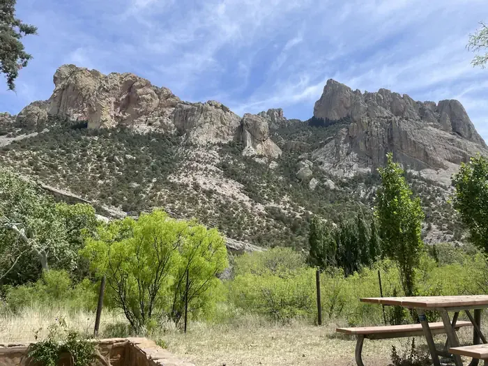
This section of the Continental Divide Trail through New Mexico offers a moderate day hike with steady elevation gain through high desert and mountain terrain. Hikers will experience the iconic CDT experience with expansive views of New Mexico's diverse landscape, ranging from piñon-juniper forests to alpine meadows depending on the specific section traversed. The trail provides excellent opportunities to experience a portion of America's premier long-distance hiking route.

CDT - New Mexico Section
~40 min drive
1594 mi · Hard
Continental Divide Trail
~5 min drive
Moderate walk along the Continental Divide with expansive high-country views.
Hummingbird Spring Trail
~1h 13m drive
5.9 mi · Easy
Miller Creek
~1h 12m drive
5.9 mi · Hard
Cdt Jun Antelope Wells Route to Mexico
~19 min drive
Remote CDT segment near Antelope Wells border crossing with desert views.
Sunny Flat
~1h 16m drive
2.5 mi · Easy
Hog Canyon
~1h 15m drive
7.8 mi · Hard
Cdt - New Mexico Section
~22 min drive
Brief CDT segment in New Mexico with minimal elevation gain.
Swaggert
~1h 15m drive
11 mi · Hard
Continental Divide Trail
~22 min drive
Moderate ridgeline hike along the Continental Divide with expansive views.
Also worth it near here