Loading trail…

Free — you'll pick up right here.
Watch this trail
Sign up to watch it — saving subscribes you to gate, closure and report changes.
Arizona
5.9 mi
Distance
1,754 ft
Gain
2h 51m
Time
We won't guess. Here is exactly what we do and don't know.
What we do know
Inside Coronado National Forest
2 managing-area boundaries mapped — agency alerts for them feed this page automatically.
Boundary data
What's missing
No access route mapped
We don't yet know which road reaches this trailhead, so we can't tell you if it's gated.
Nobody's filed a report here yet — be the first.
Why you'll love it
Hummingbird Spring Trail
AI-suggested draft · review before you go
No permit or access details on file for this trail — check with the local land manager before you go.
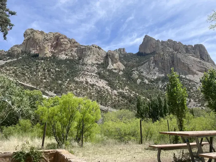
Hummingbird Spring Trail is a 5.9-mile out-and-back trail located in Arizona. The route features 1,754 feet of elevation gain, making it a moderately challenging hike suitable for those with solid fitness levels. The trail takes hikers through Arizona's diverse landscape, with the out-and-back format allowing visitors to turn back at any point that suits their ability or schedule. The steady elevation gain is distributed throughout the hike, providing a consistent workout while ascending toward Hummingbird Spring. This trail is ideal for hikers seeking a half-day adventure without requiring an early start or full-day commitment. The out-and-back design means you'll retrace your steps on the return journey, which lets you experience the trail from different perspectives. Whether you're training for more strenuous hikes or looking for a rewarding moderate-distance outing, Hummingbird Spring Trail delivers both challenge and accessibility. The destination at Hummingbird Spring offers a natural waypoint and turnaround spot for completing the full route.
South Fork Trail #243
~7 min drive
A strenuous 27.56-mile out-and-back trail in Arizona for experienced hikers.
Herb Martyr
~11 min drive
5.6 mi · Moderate
Ash Spring
~11 min drive
2.0 mi · Easy
Inspiration Point
~21 min drive
Quick out-and-back hike to scenic overlook views.
Basin
~11 min drive
8.8 mi · Hard
Burro Trail #240
~16 min drive
11 mi · Moderate
Bootlegger Trail #257
~15 min drive
5.3 mi · Easy
Mushroom Rock
~21 min drive
Easy out-and-back hike to a distinctive rock formation in Arizona.
Green House
~17 min drive
6.5 mi · Hard
Horseshoe Ridge Trail #282
~16 min drive
7.2 mi · Moderate
Also worth it near here