Loading trail…

Free — you'll pick up right here.
Watch this trail
Sign up to watch it — saving subscribes you to gate, closure and report changes.
California
1.3 mi
Distance
173 ft
Gain
We won't guess. Here is exactly what we do and don't know.
What we do know
Inside Inyo National Forest
3 managing-area boundaries mapped — agency alerts for them feed this page automatically.
Boundary data
What's missing
No access route mapped
We don't yet know which road reaches this trailhead, so we can't tell you if it's gated.
Nobody's filed a report here yet — be the first.
Why you'll love it
Shepherd Crest
AI-suggested draft · review before you go
No permit or access details on file for this trail — check with the local land manager before you go.
Shepherd Crest is a short and accessible alpine trail offering rewarding views with minimal effort. This 1.25-mile route gains 173 feet through gentle terrain, making it ideal for hikers seeking a quick summit experience or families looking for a scenic walk. The trail provides excellent vistas of the surrounding peaks and ridgeline.
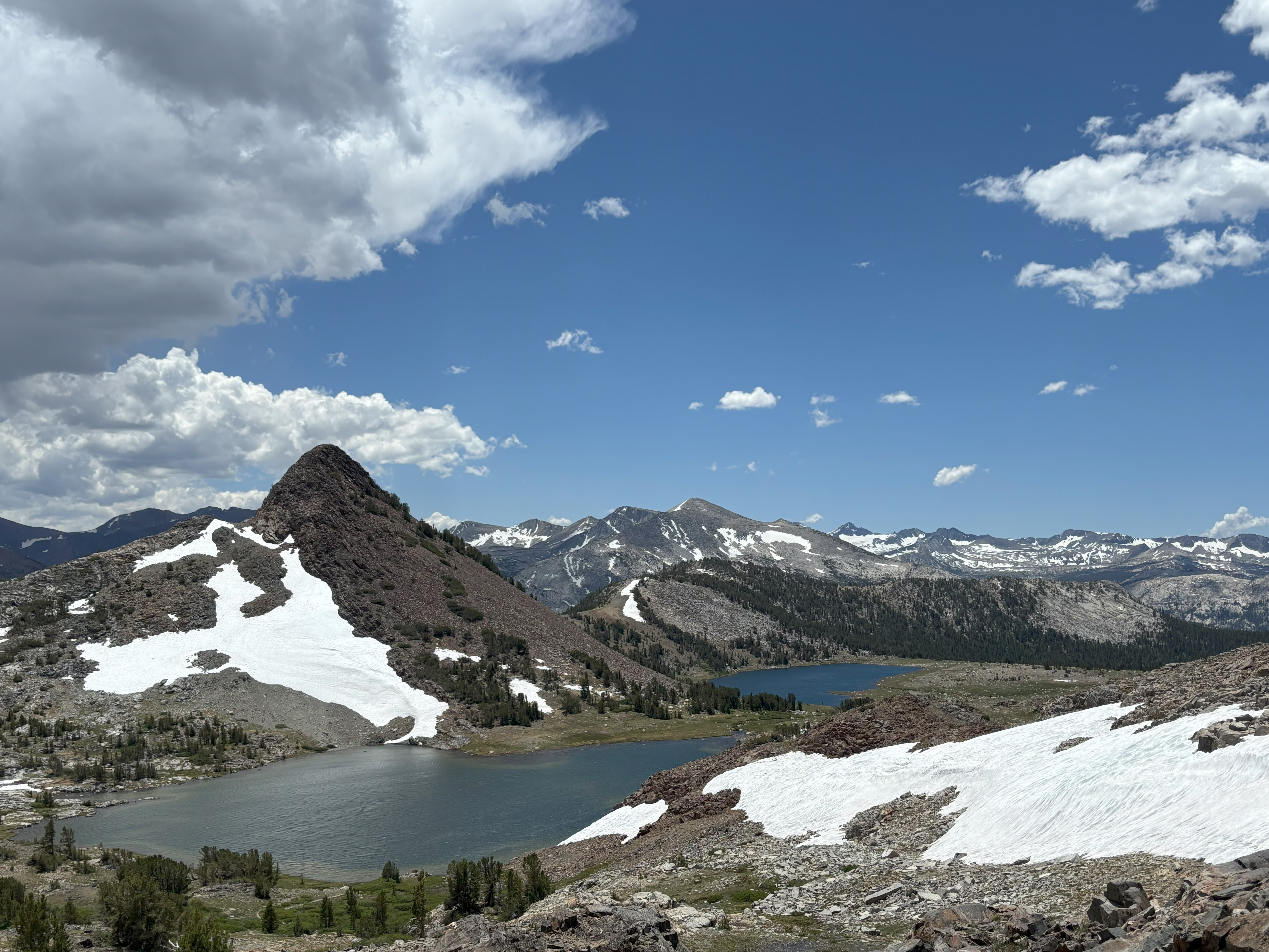
Gaylor Lakes Trailhead
~10 min drive
<p>This short but steep hike offers spectacular high-country views, wildflowers in the summer, and lake views. From the trailhead, located right next to Tioga Pass, climb steadily to a ridge with views of the high Sierra including Mt. Dana and Dana Meadows. At the ridge crest,…
20 Lakes Basin Loop
~2 min drive
An easy 1.25-mile out-and-back trail in California's 20 Lakes Basin, ideal for casual hikers.
Lake Canyon
~7 min drive
A moderate 3.62-mile out-and-back singletrack trail in California that links to Oneida Lake.
Green Creek
~8 min drive
Easy 1-mile walk with minimal elevation gain near Green Creek.
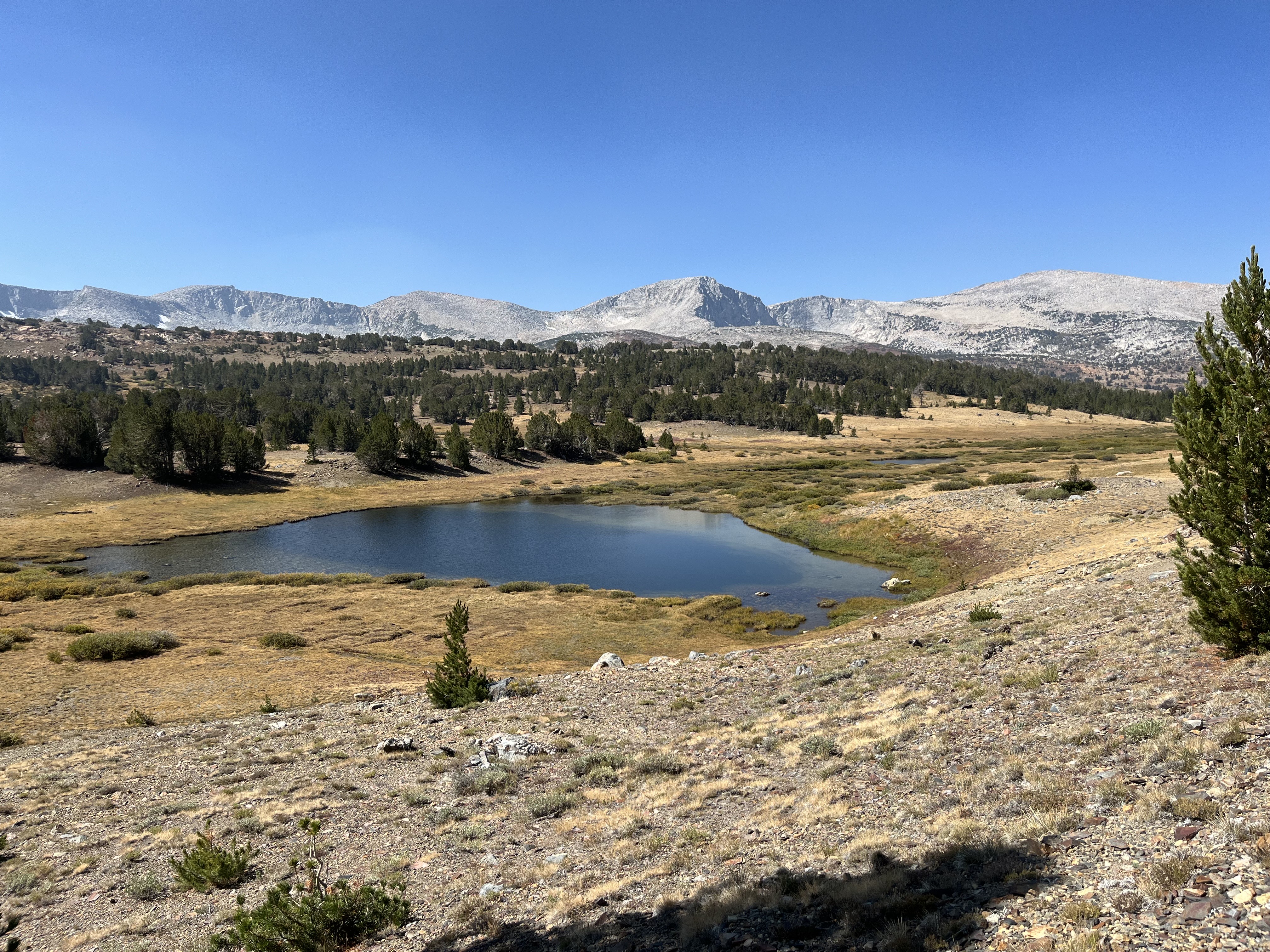
Mono Pass Trailhead
~12 min drive
<p>This historic trans-Sierra trail climbs gradually through lodgepole pines and past wet meadows. In mid-summer, look for red mountain heather blooming trailside. After the Spillway Lake junction, the trail climbs steadily and more steeply to Mono Pass (elevation 10,600 feet)…
Saddlebag Lake Loop
~4 min drive
Easy alpine lake loop with minimal elevation gain and spectacular Sierra views.
Tamarack
~21 min drive
Moderate 5.6-mile alpine hike with 2,250 ft gain near Tamarack.
Robinson Creek
~22 min drive
Challenging 13.56-mile alpine creek trail with 3,156 ft elevation gain.
Elizabeth Lake Trailhead
~15 min drive
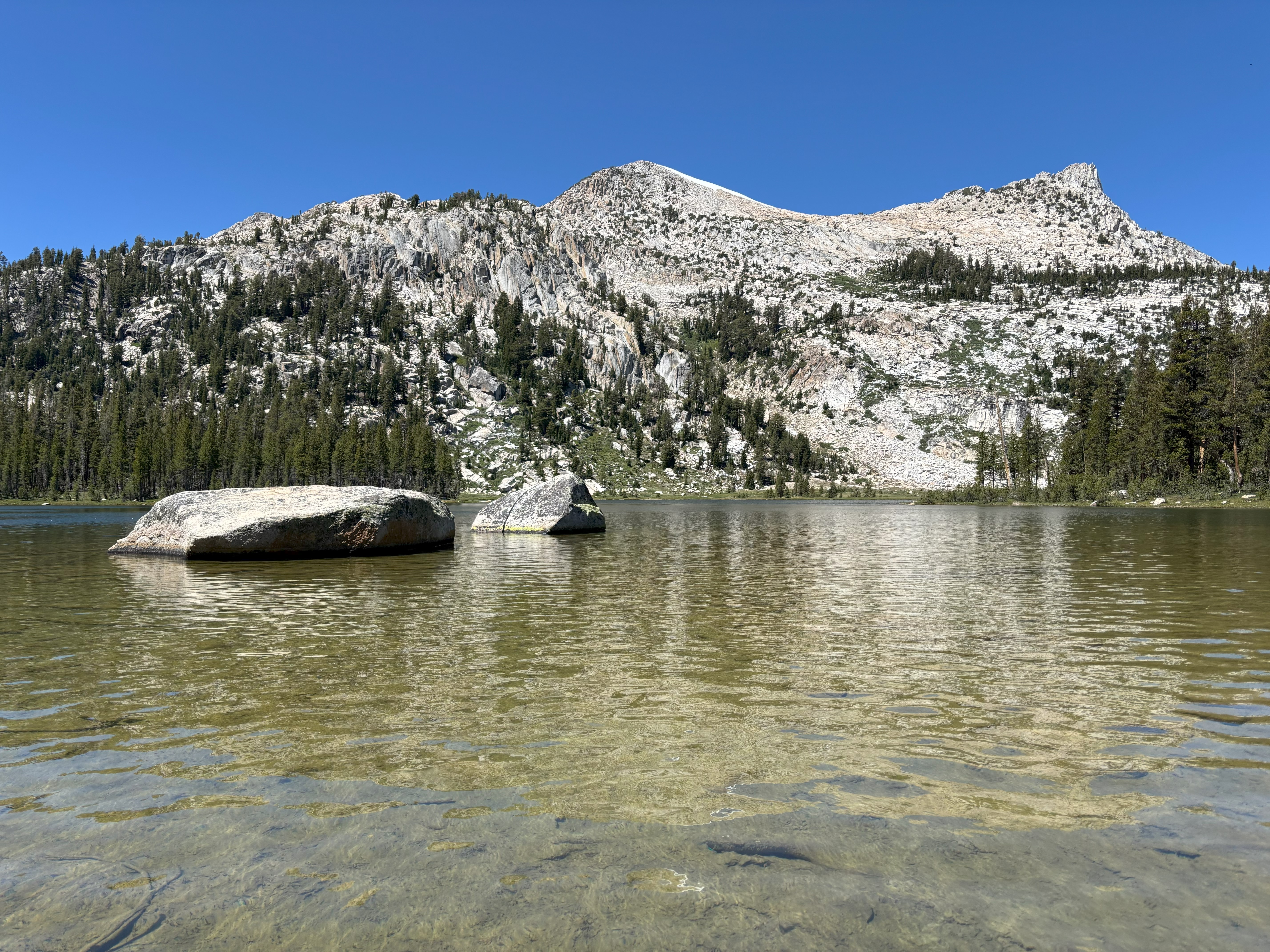
<p>The trail climbs steadily to a glacier-carved lake at the base of Unicorn Peak in the heart of the Cathedral Range. A one-mile trail circles the lake. The trail begins at the back of the B loop in the Tuolumne Meadows Campground.<br /> <br /> <strong>Distance: </strong>4.8…
Summit Lake
~7 min drive
Easy 2-mile alpine lake hike with 314 ft elevation gain.