Loading trail…

Free — you'll pick up right here.
Watch this trail
Sign up to watch it — saving subscribes you to gate, closure and report changes.
California
5.6 mi
Distance
2,250 ft
Gain
We won't guess. Here is exactly what we do and don't know.
What we do know
Inside Humboldt-Toiyabe National Forest
2 managing-area boundaries mapped — agency alerts for them feed this page automatically.
Boundary data
What's missing
No access route mapped
We don't yet know which road reaches this trailhead, so we can't tell you if it's gated.
Nobody's filed a report here yet — be the first.
Why you'll love it
Tamarack
AI-suggested draft · review before you go
No permit or access details on file for this trail — check with the local land manager before you go.
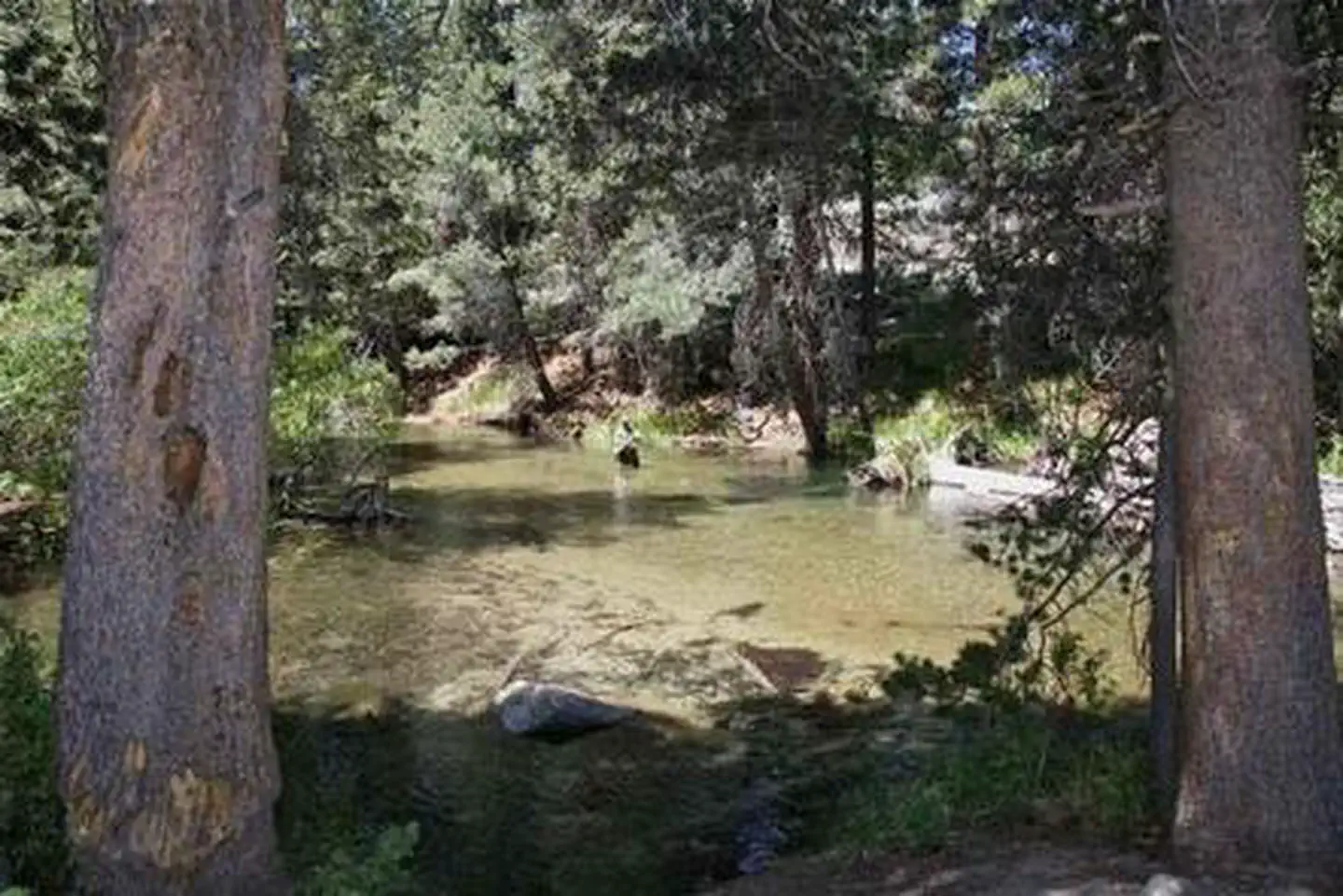
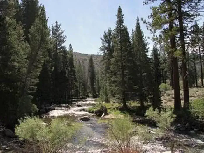
The Tamarack Trail is a moderate alpine hike offering steady elevation gain through mixed conifer forest with potential views of the surrounding Sierra Nevada peaks. This 5.6-mile route climbs over 2,250 feet, making it a rewarding day hike for those seeking solitude and mountain scenery. The trail showcases classic high country terrain with opportunities to experience the transition from lower forest zones into subalpine environments.
Eagle Creek
~6 min drive
Moderate 6.4-mile creek-side hike with 1,690 ft elevation gain.
West Lake
~10 min drive
Steep alpine lake hike with 1,278 ft gain in under 3 miles.
Lake Canyon
~19 min drive
A moderate 3.62-mile out-and-back singletrack trail in California that links to Oneida Lake.
Sawmill Ridge Route
~8 min drive
Moderate 9.5-mile ridge hike with 2,300 ft gain and expansive mountain views.
Peeler Lake
~13 min drive
Moderate alpine lake hike with steady elevation gain and scenic mountain views.
Chain of Lakes
~23 min drive
Scenic alpine lake loop with steady climbing and multiple water features.
Buckeye Canyon
~8 min drive
Moderate 12.5-mile canyon loop with 1,099 ft elevation gain.
Mule Pass
~14 min drive
Steep 2.2-mile alpine climb with 840 ft elevation gain.
Cinko Lake
~26 min drive
Easy alpine lake hike with modest elevation gain and scenic views.
Robinson Creek
~9 min drive
Challenging 13.56-mile alpine creek trail with 3,156 ft elevation gain.