Loading trail…

Free — you'll pick up right here.
Watch this trail
Sign up to watch it — saving subscribes you to gate, closure and report changes.
California
681 ft
Gain
We won't guess. Here is exactly what we do and don't know.
What we do know
Inside Yosemite National Park
National Park unit boundary is mapped — agency alerts for it feed this page automatically.
Boundary data
What's missing
No access route mapped
We don't yet know which road reaches this trailhead, so we can't tell you if it's gated.
Nobody's filed a report here yet — be the first.
Why you'll love it
Mono Pass Trailhead
AI-suggested draft · review before you go
No permit or access details on file for this trail — check with the local land manager before you go.
<p>This historic trans-Sierra trail climbs gradually through lodgepole pines and past wet meadows. In mid-summer, look for red mountain heather blooming trailside. After the Spillway Lake junction, the trail climbs steadily and more steeply to Mono Pass (elevation 10,600 feet). Don't miss the spectacular view of Mono Lake and Bloody Canyon: from the pass, hike a bit farther toward Upper Sardine Lake.<br /> <br /> <strong>Distance:</strong> 8 miles (12.9 km) round-trip<br /> <strong>Elevation gain:</strong> 1,000 ft (300 m)<br /> <strong>Time estimate:</strong> 5-7 hours</p> <h2>Tips & Seasonal Information</h2> <p>This trail includes several unbridged stream crossings. Early in the season, when water can be very high, cold, and swift, use caution when crossing streams or turn back when crossing is not safe.<br /> <br /> In early summer, the trail can be very muddy in places. Stay on trail and go through mud puddles rather than around them to preserve delicate plant life in this sensitive ecosystem.</p> <p>Bicycles and pets are not permitted on hiking trails. A vault toilet is available at the trailhead parking area.<br /> <br /> This trailhead is only reachable by vehicle when Tioga Road is open, typically late May or early June to sometime in October or November.<br /> <br /> Tioga Road closes after the first significant snowfall. Overnight parking on this road, including this trailhead, ends October 15. For current road and weather information, please call 209/372-0200 (press 1, then 1).</p>
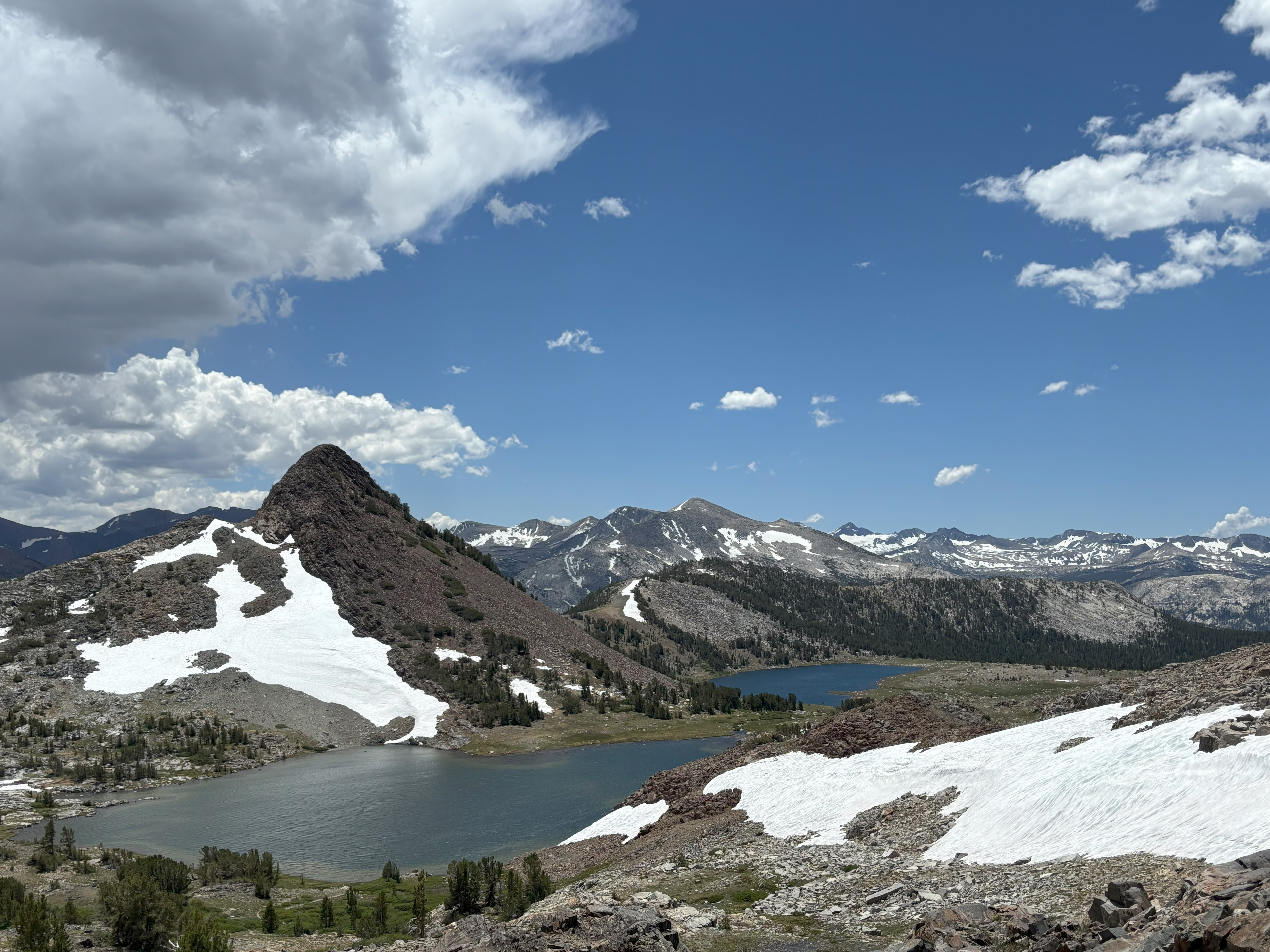
Gaylor Lakes Trailhead
~2 min drive
<p>This short but steep hike offers spectacular high-country views, wildflowers in the summer, and lake views. From the trailhead, located right next to Tioga Pass, climb steadily to a ridge with views of the high Sierra including Mt. Dana and Dana Meadows. At the ridge crest,…
Shell Lake
~6 min drive
Easy alpine lake hike with minimal elevation gain and scenic water views.
Bloody Canyon
~9 min drive
Steep alpine climb with 2,080 ft gain offering dramatic Sierra views.
Saddlebag Lake Loop
~9 min drive
Easy alpine lake loop with minimal elevation gain and spectacular Sierra views.
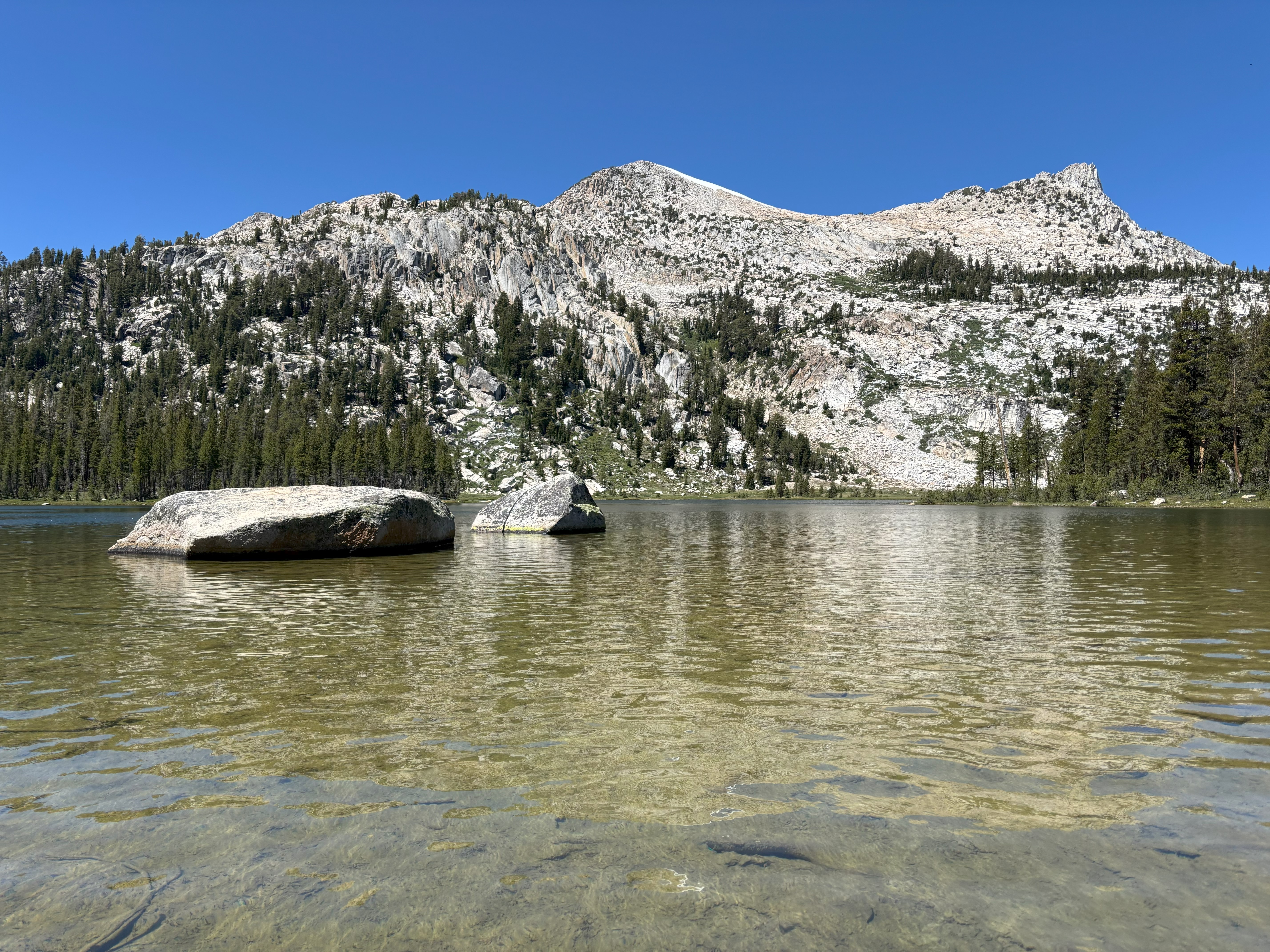
Elizabeth Lake Trailhead
~9 min drive
<p>The trail climbs steadily to a glacier-carved lake at the base of Unicorn Peak in the heart of the Cathedral Range. A one-mile trail circles the lake. The trail begins at the back of the B loop in the Tuolumne Meadows Campground.<br /> <br /> <strong>Distance: </strong>4.8…
Alger Lakes
~11 min drive
Moderate 6.4-mile alpine lake hike with 690 ft elevation gain.
Lake Canyon
~16 min drive
A moderate 3.62-mile out-and-back singletrack trail in California that links to Oneida Lake.
Gibbs Lake
~10 min drive
Short alpine lake hike with steady elevation gain and scenic rewards.
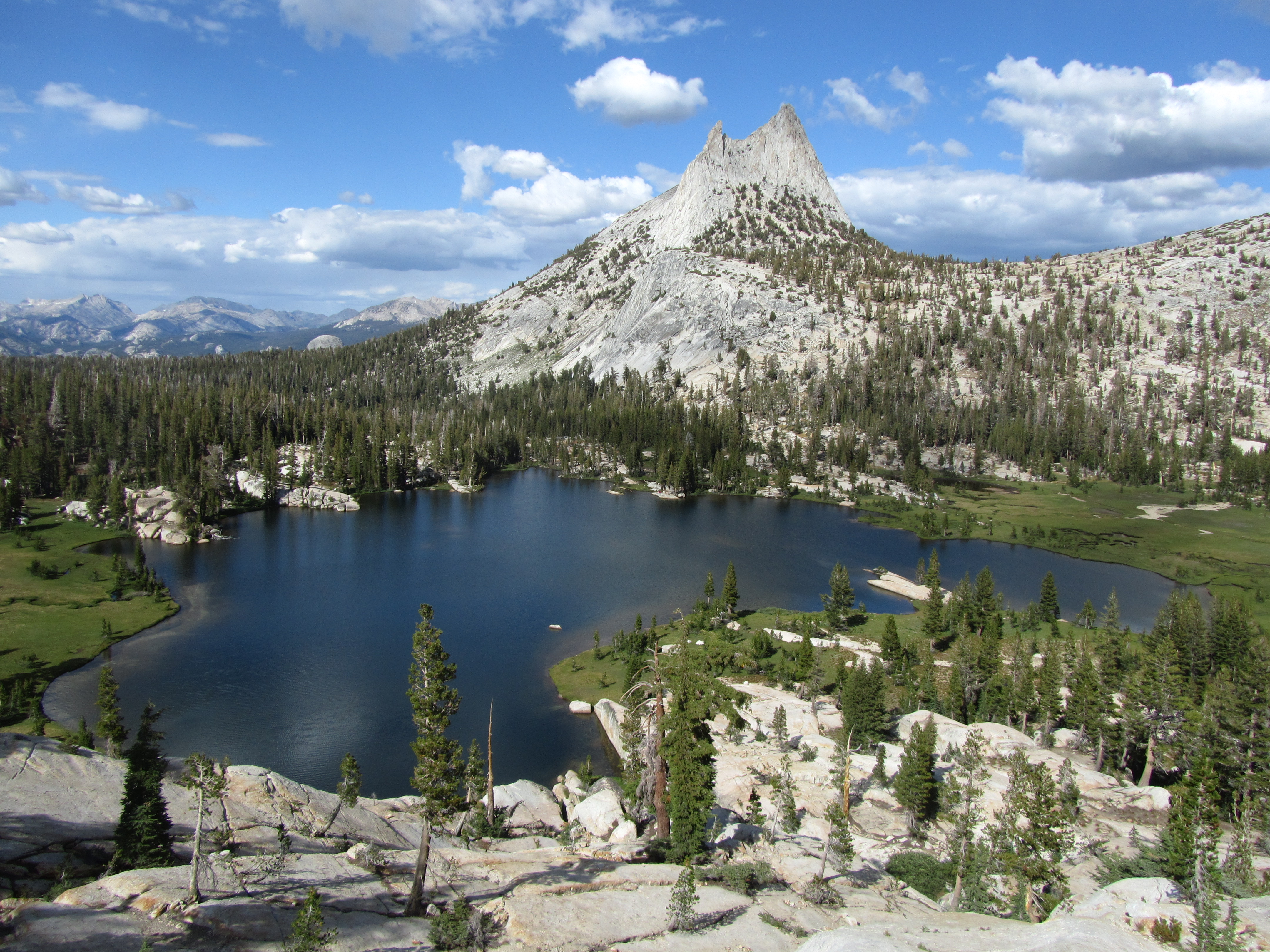
Cathedral Lakes Trailhead
~11 min drive
<p>Cathedral Lakes are nestled at the foot of Cathedral Peak. In addition to the lakes themselves, hikers will enjoy views of Cathedral Peak and Echo Peak. The trail through this area is part of the John Muir Trail, which sees high traffic all season. The area is also popular…
Marie Lakes
~17 min drive
Steep alpine lake hike with dramatic elevation gain in under 2 miles.