Loading trail…

Free — you'll pick up right here.
Watch this trail
Sign up to watch it — saving subscribes you to gate, closure and report changes.
California
3,506 ft
Gain
We won't guess. Here is exactly what we do and don't know.
What we do know
Inside Sequoia National Park
National Park unit boundary is mapped — agency alerts for it feed this page automatically.
Boundary data
What's missing
No access route mapped
We don't yet know which road reaches this trailhead, so we can't tell you if it's gated.
Nobody's filed a report here yet — be the first.
Why you'll love it
Paradise Ridge Trailhead
AI-suggested draft · review before you go
No permit or access details on file for this trail — check with the local land manager before you go.
<p>This 5.5 mile loop (8.85 kilometers) is a moderate climb, with frequent ups and downs. Starting with views at Panoramic Point, the trail visits a fire lookout, dense forest, and logged and fire-scarred areas.<br /> <br /> This trailhead orientation panel shows a map and images of the Paradise Ridge area.<br /> <br /> Parking for this trailhead can be found at the end of the Atwell Mill Campground, at the Atwell Hockett Trailhead.</p>
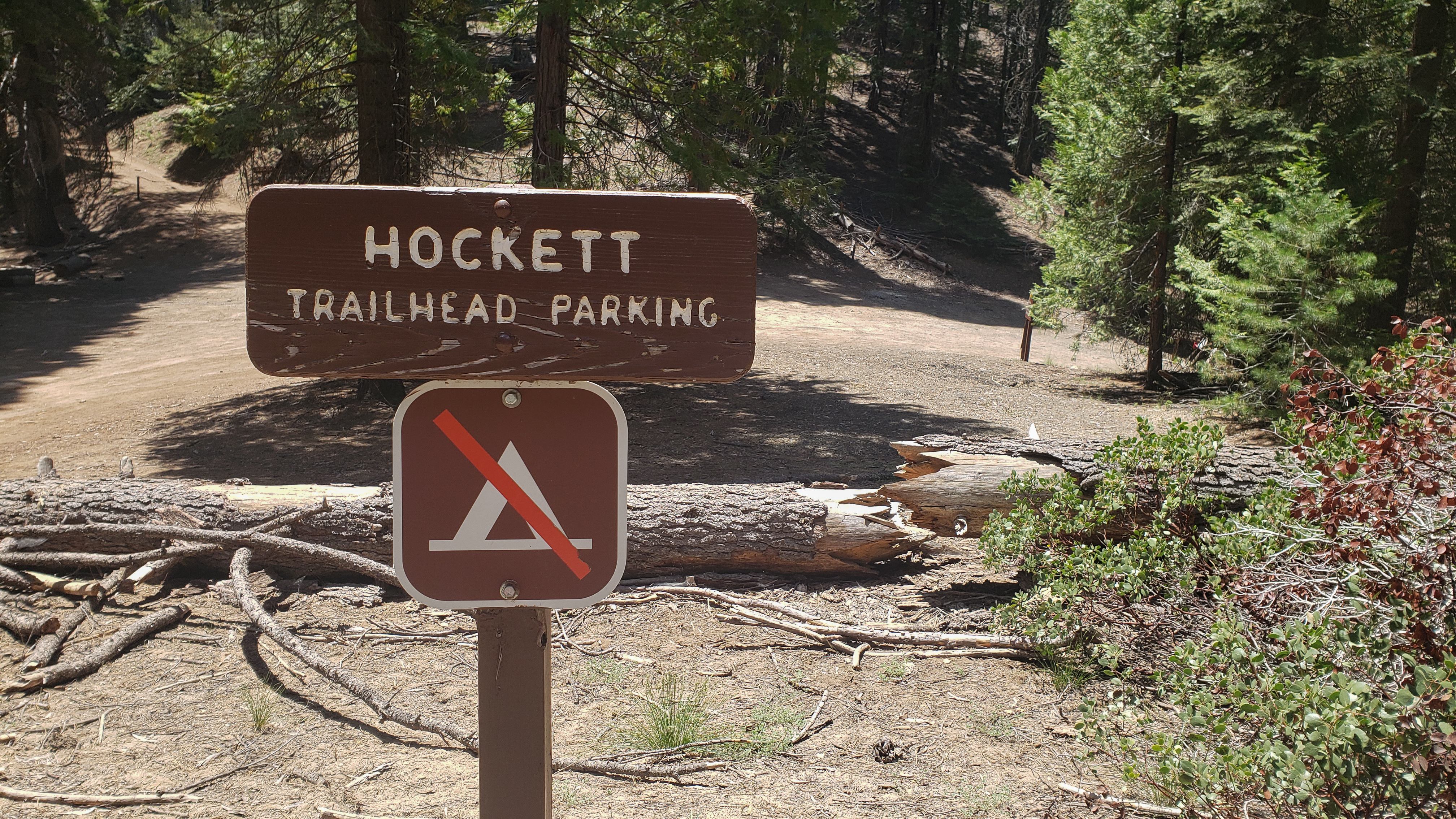
Atwell-Hockett Trailhead
~0 min drive
<p>Atwell-Hockett Trail leads 10 miles one-way (20 miles round-trip) at a moderate slope through sequoia trees and up to Hockett Meadow. The first campsite along the trail is at 6 miles at Clover Creek. Other wilderness destinations include Evelyn Lake, Cahoon Rock, and the Go…
Wet Meadow
~16 min drive
Moderate 8.4-mile meadow hike with 2,198 ft elevation gain.
Quinn
~17 min drive
Easy 3.4-mile trail with minimal elevation gain near Quinn, California.
Touhy Gap
~19 min drive
Steep 2.8-mile alpine climb to a scenic mountain gap.
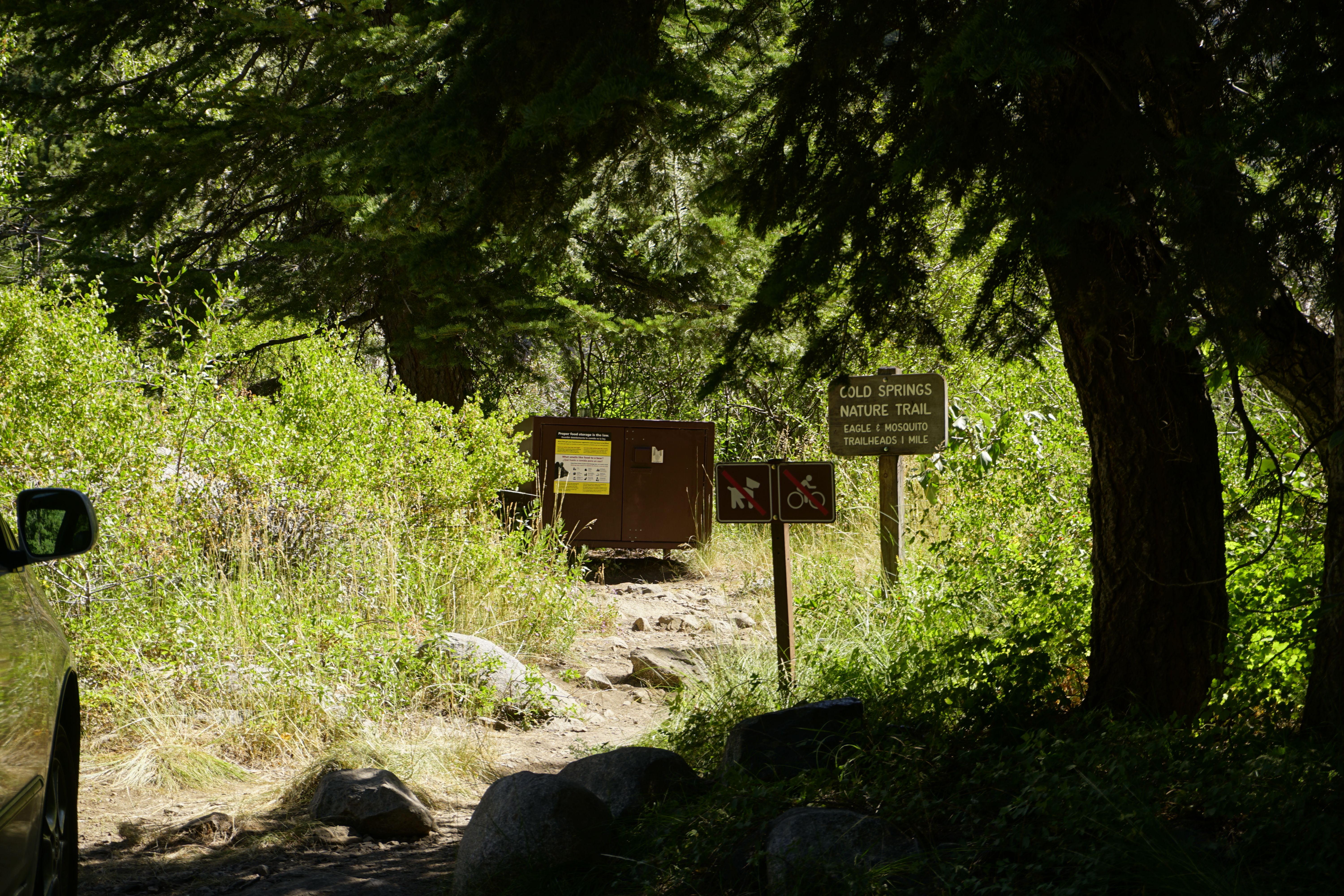
Cold Springs Nature Trail - Western Trailhead
~6 min drive
<p>This trailhead is located within Cold Springs Campground, look for a wooden trailhead sign between sites 6 and 7.<br /> <br /> Cold Springs Nature Trail is 2.0 miles round-trip (3.2 kilometer) at an easy incline. It travels through meadows and aspen groves to the site of th…
Little Kern
~18 min drive
Moderate 7.2-mile Sierra trail through forest and meadows with 837 ft gain.
Shotgun Pass
~18 min drive
Steep 4.2-mile climb to a scenic mountain pass with 2,474 ft gain.
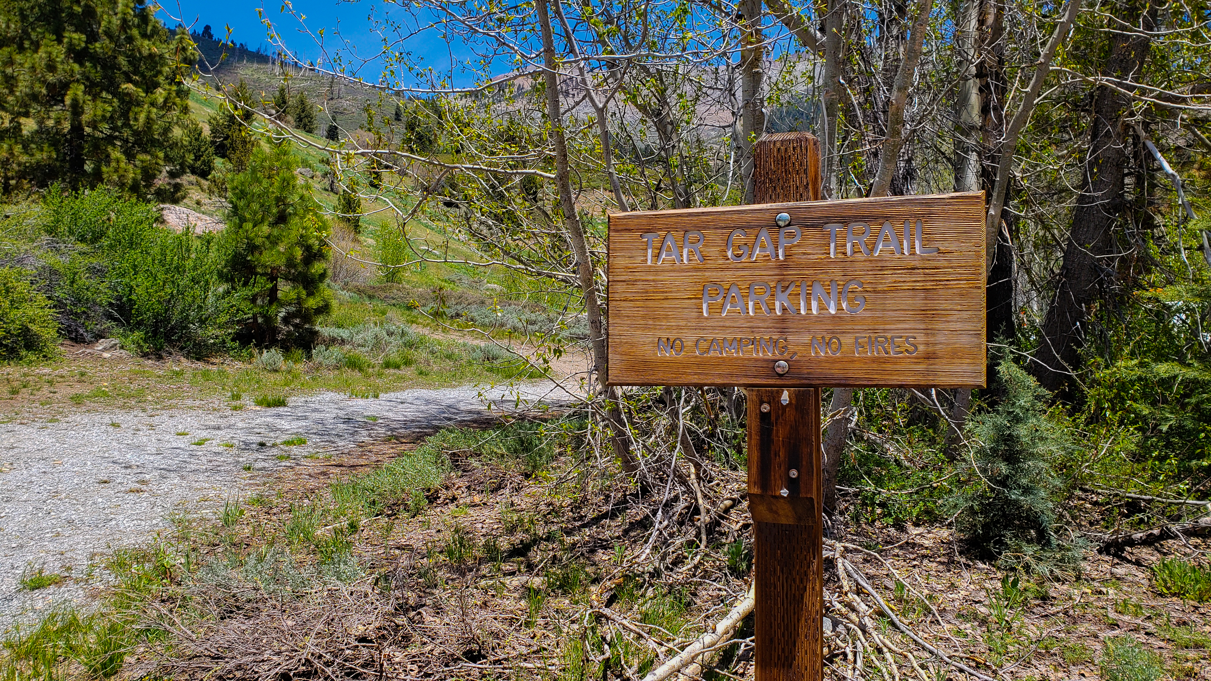
Tar Gap Trail Parking
~6 min drive
<p>If other trailhead parking areas are full, this lot offers overflow parking. Protect your vehicles from marmots here, especially in spring and early summer.</p>
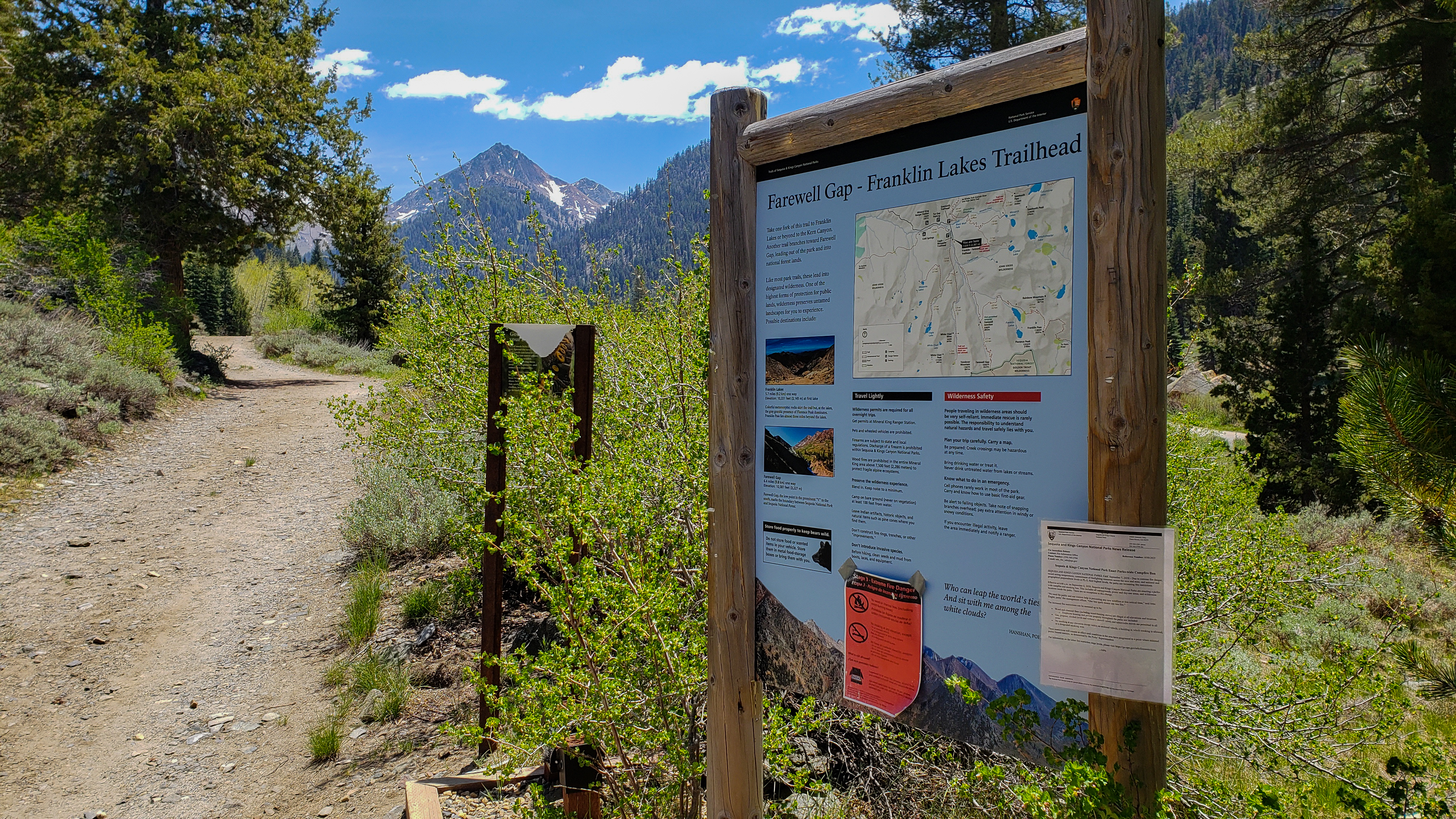
Farewell Gap-Franklin Lakes Trailhead
~8 min drive
<p>This trailhead orientation panel shows a map and images of the area around Farewell Gap Trail and Franklin Lakes Trail.<br /> <br /> Farewell Gap Trail and Franklin Lakes Trail share the same route for the first 2.8 miles. From there, Farewell Gap Trail travels to the right…
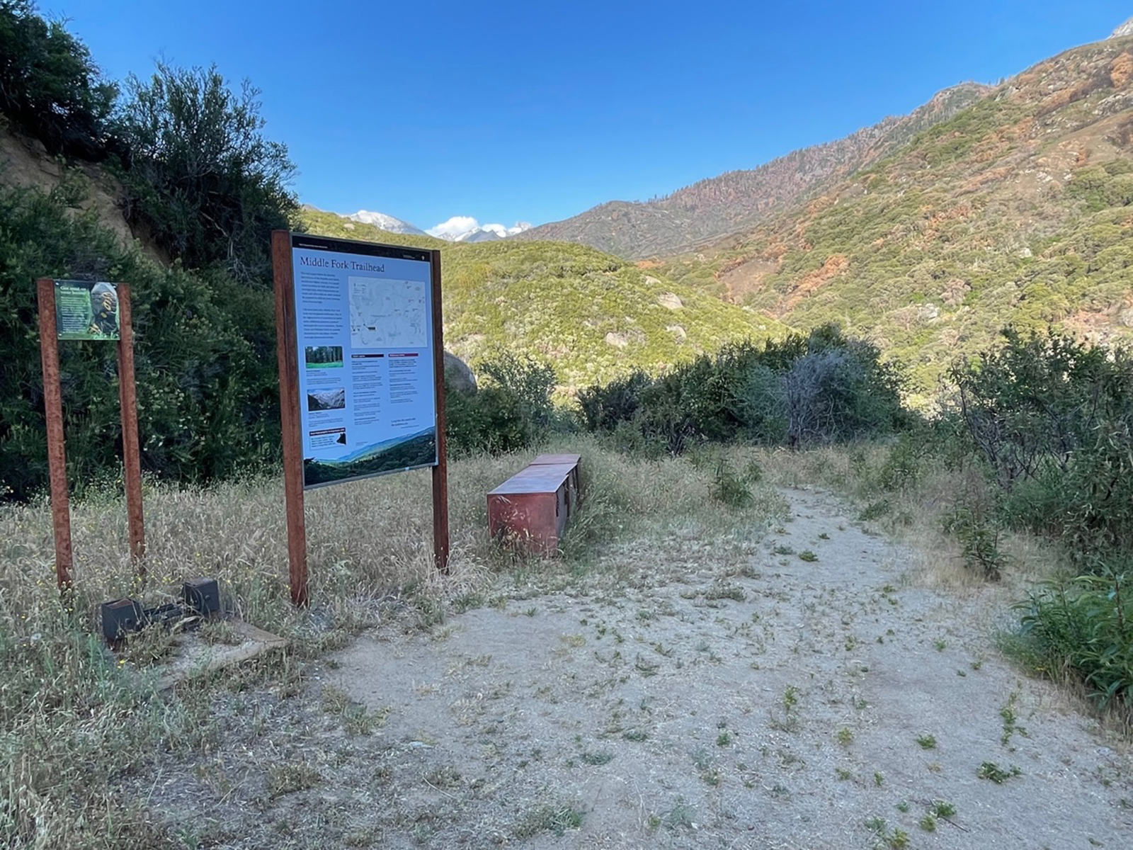
Middle Fork Trailhead
~11 min drive
<p>This trailhead orientation panel shows a map and photos of the Middle Fork area.<br /> <br /> In fall 2021, the KNP Complex Wildfire burned much of the surrounding area. While wilderness permits are available for this area, if you enter here, nearby exit points may be close…