Loading trail…

Free — you'll pick up right here.
Watch this trail
Sign up to watch it — saving subscribes you to gate, closure and report changes.
California
8.4 mi
Distance
2,198 ft
Gain
We won't guess. Here is exactly what we do and don't know.
What we do know
Inside Sequoia National Forest
3 managing-area boundaries mapped — agency alerts for them feed this page automatically.
Boundary data
What's missing
No access route mapped
We don't yet know which road reaches this trailhead, so we can't tell you if it's gated.
Nobody's filed a report here yet — be the first.
Why you'll love it
Wet Meadow
AI-suggested draft · review before you go
No permit or access details on file for this trail — check with the local land manager before you go.
Wet Meadow is a moderate 8.4-mile trail featuring nearly 2,200 feet of elevation gain through California's scenic backcountry. This route traverses meadow terrain and forested sections, offering a rewarding day hike with substantial elevation challenge. The trail's name suggests wet, marshy sections that are particularly notable during spring runoff and early summer.
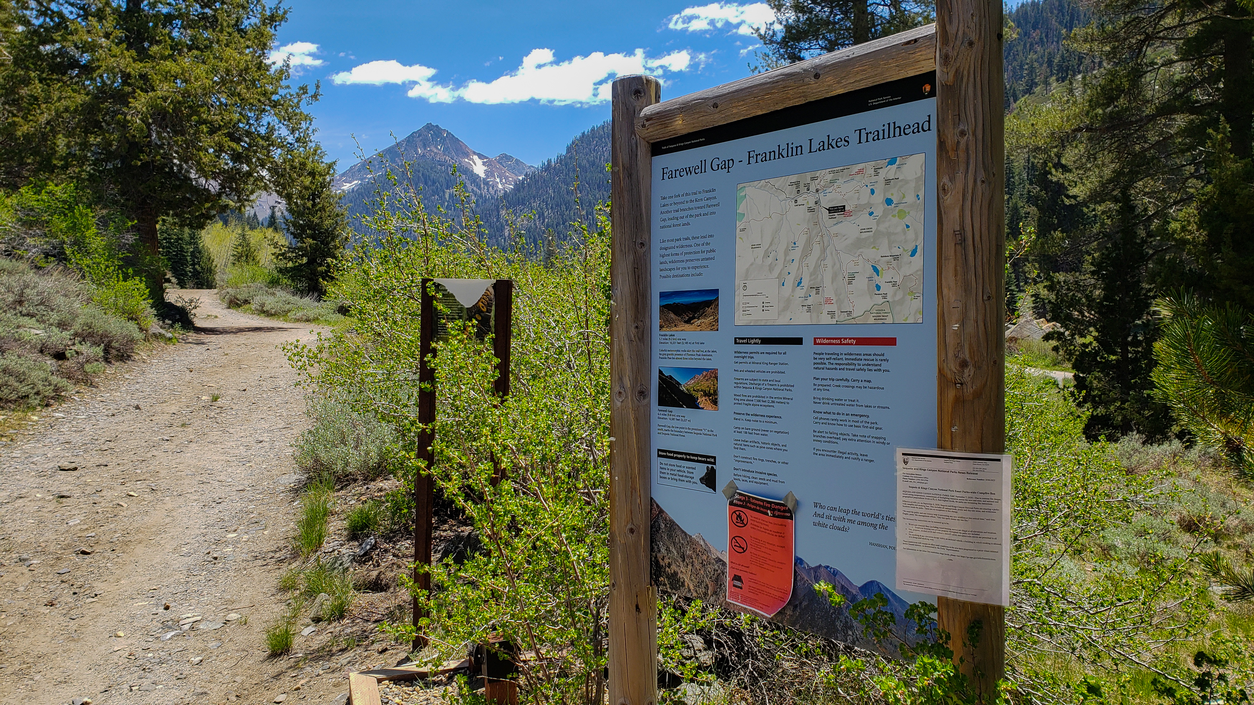
Farewell Gap-Franklin Lakes Trailhead
~11 min drive
<p>This trailhead orientation panel shows a map and images of the area around Farewell Gap Trail and Franklin Lakes Trail.<br /> <br /> Farewell Gap Trail and Franklin Lakes Trail share the same route for the first 2.8 miles. From there, Farewell Gap Trail travels to the right…
Shotgun Pass
~2 min drive
Steep 4.2-mile climb to a scenic mountain pass with 2,474 ft gain.
Little Kern
~4 min drive
Moderate 7.2-mile Sierra trail through forest and meadows with 837 ft gain.
Touhy Gap
~14 min drive
Steep 2.8-mile alpine climb to a scenic mountain gap.
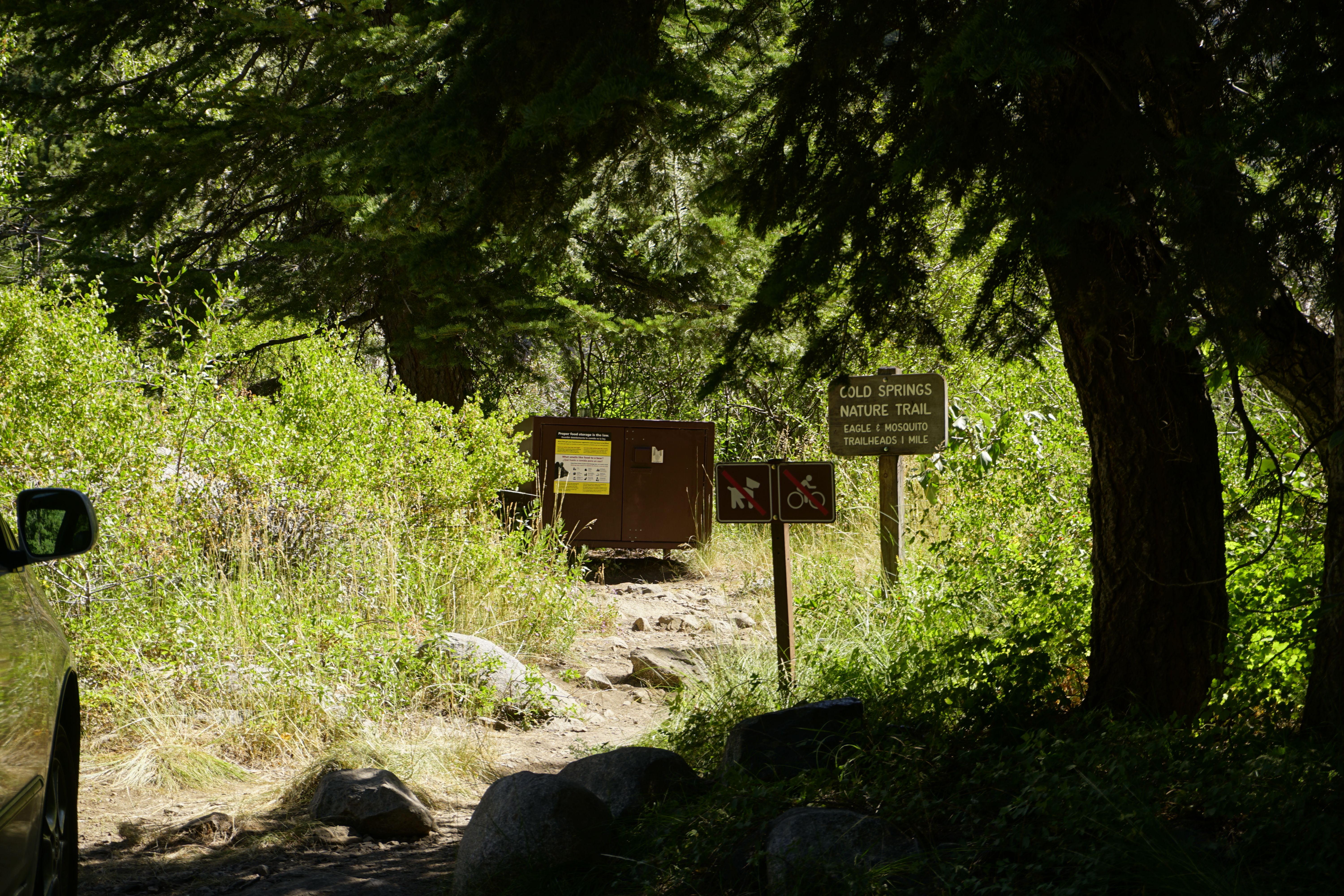
Cold Springs Nature Trail - Western Trailhead
~11 min drive
<p>This trailhead is located within Cold Springs Campground, look for a wooden trailhead sign between sites 6 and 7.<br /> <br /> Cold Springs Nature Trail is 2.0 miles round-trip (3.2 kilometer) at an easy incline. It travels through meadows and aspen groves to the site of th…
Quinn
~3 min drive
Easy 3.4-mile trail with minimal elevation gain near Quinn, California.
Farewell Gap
~7 min drive
Strenuous 19.6-mile alpine pass hike with 3,500 ft elevation gain.
Golden Trout Creek
~15 min drive
Easy creek-side stroll through alpine meadows in California's high country.
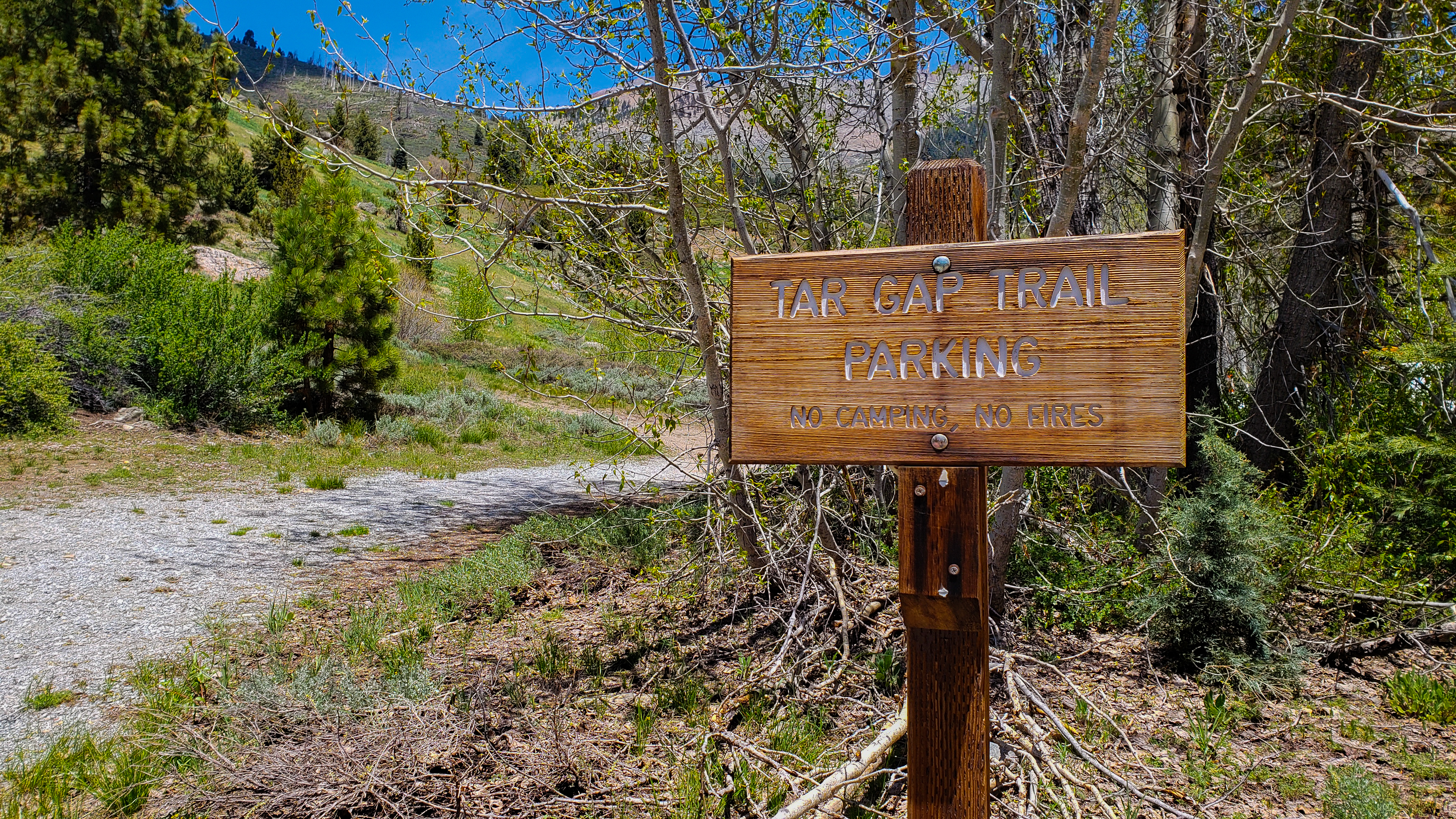
Tar Gap Trail Parking
~11 min drive
<p>If other trailhead parking areas are full, this lot offers overflow parking. Protect your vehicles from marmots here, especially in spring and early summer.</p>
Hole-In-The-Ground
~18 min drive
A 4-mile moderate hike with 532 ft elevation gain and scenic terrain.