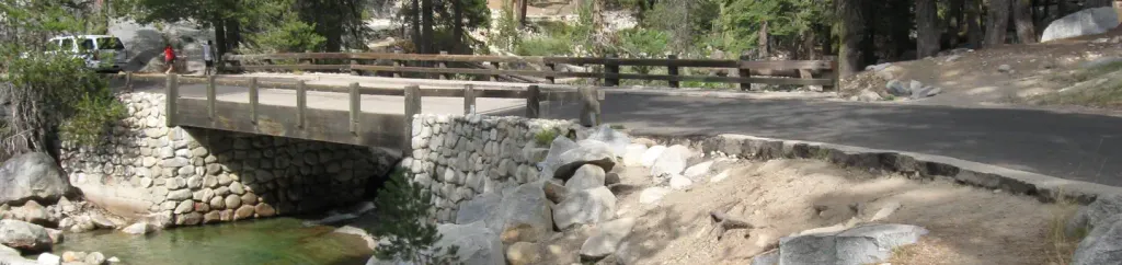
Loading trail…

Free — you'll pick up right here.
Watch this trail
Sign up to watch it — saving subscribes you to gate, closure and report changes.
California
869 ft
Gain
We won't guess. Here is exactly what we do and don't know.
What we do know
Inside Sequoia National Park
National Park unit boundary is mapped — agency alerts for it feed this page automatically.
Boundary data
What's missing
No access route mapped
We don't yet know which road reaches this trailhead, so we can't tell you if it's gated.
Nobody's filed a report here yet — be the first.
Why you'll love it
General Sherman Tree Main Trailhead
AI-suggested draft · review before you go
No permit or access details on file for this trail — check with the local land manager before you go.
<p>You are getting close to the famous General Sherman Tree. The volume of wood in its trunk alone makes it the largest tree in the world. As you walk the 0.5 miles (0.8 km) to it, you'll pass many other spectacular giants as well. At the bottom of the trail, you can stand by a cross section of a sequoia trunk that was cut years ago.<br /> <br /> Because this trail goes downhill to where the giant grows, your walk offers the unique experience of seeing the Sherman Tree from top to bottom. You also get a view into the canopy of the sequoia grove, a habitat that few people ever witness. Watch for Douglas squirrels (aka chickarees) and other inhabitants of these high places.<br /> <br /> After seeing General Sherman, explore the other trails near the tree before heading back uphill to your car. From late May to early September, you have the option to ride a free shuttle back up to the parking lot. The shuttle stop is near the restrooms on the Generals Highway, further downslope from the Sherman Tree.<br /> <br /> You can also connect from the Sherman Tree to most of the trails in the Giant Forest. If you have a map, energy, and plenty of daylight, head for Crescent Meadow, Tharp's Log, the Giant Forest Museum, or even the High Sierra Trail.</p> <h3>Accessibility</h3> People with disabilities may park in the small lot along the Generals Highway near the restroom. <p> </p>
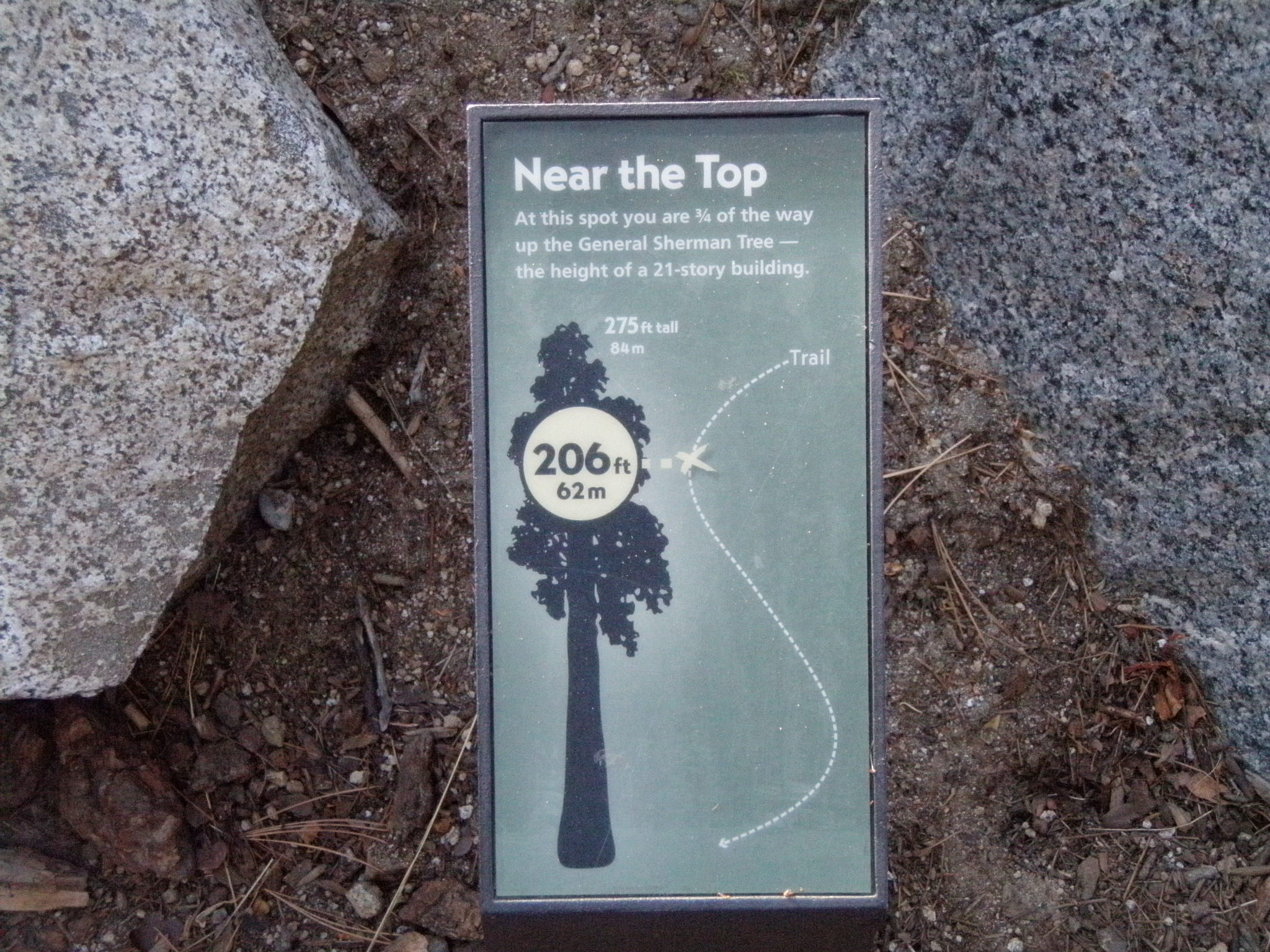
General Sherman Tree Trail: Near the Top
~0 min drive
<p>This wayside exhibit, titled "Near the Top", shows your location in relationship to the height of The General Sherman Tree.</p>
Stony Creek
~13 min drive
Moderate 7-mile creek trail with 2,500 ft elevation gain.
Jo Pass
~14 min drive
Scenic alpine pass hike with steady elevation gain and mountain views.
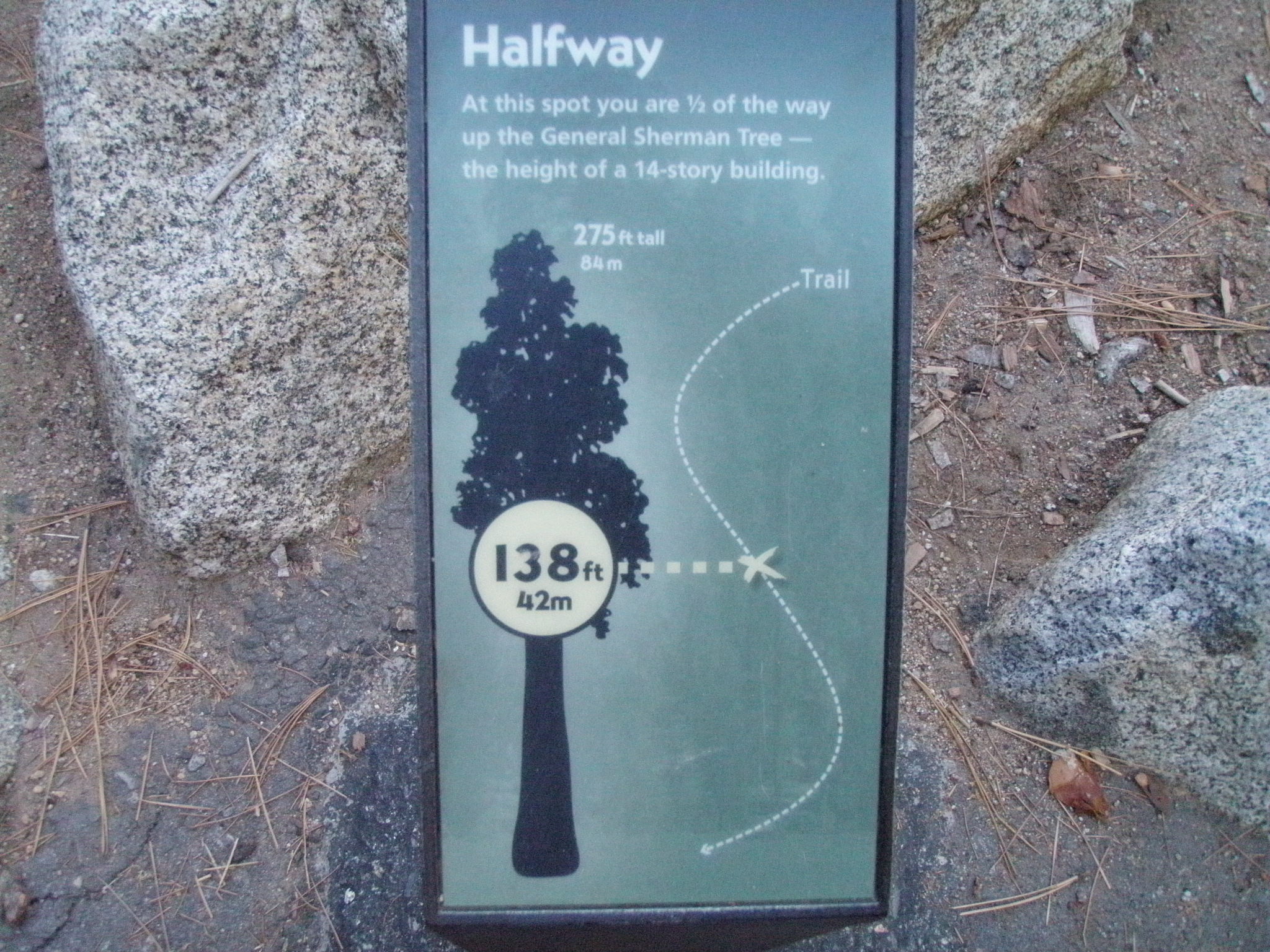
General Sherman Tree Trail: Halfway Point
~0 min drive
<p>This wayside exhibit, titled "Halfway Point," shows your location in relationship to the height of the General Sherman Tree.</p>
Jennie Lake
~16 min drive
Moderate Sierra alpine lake hike with steady elevation gain and scenic views.
Seville Lakes
~16 min drive
Scenic alpine lakes hike with moderate elevation gain and rewarding views.
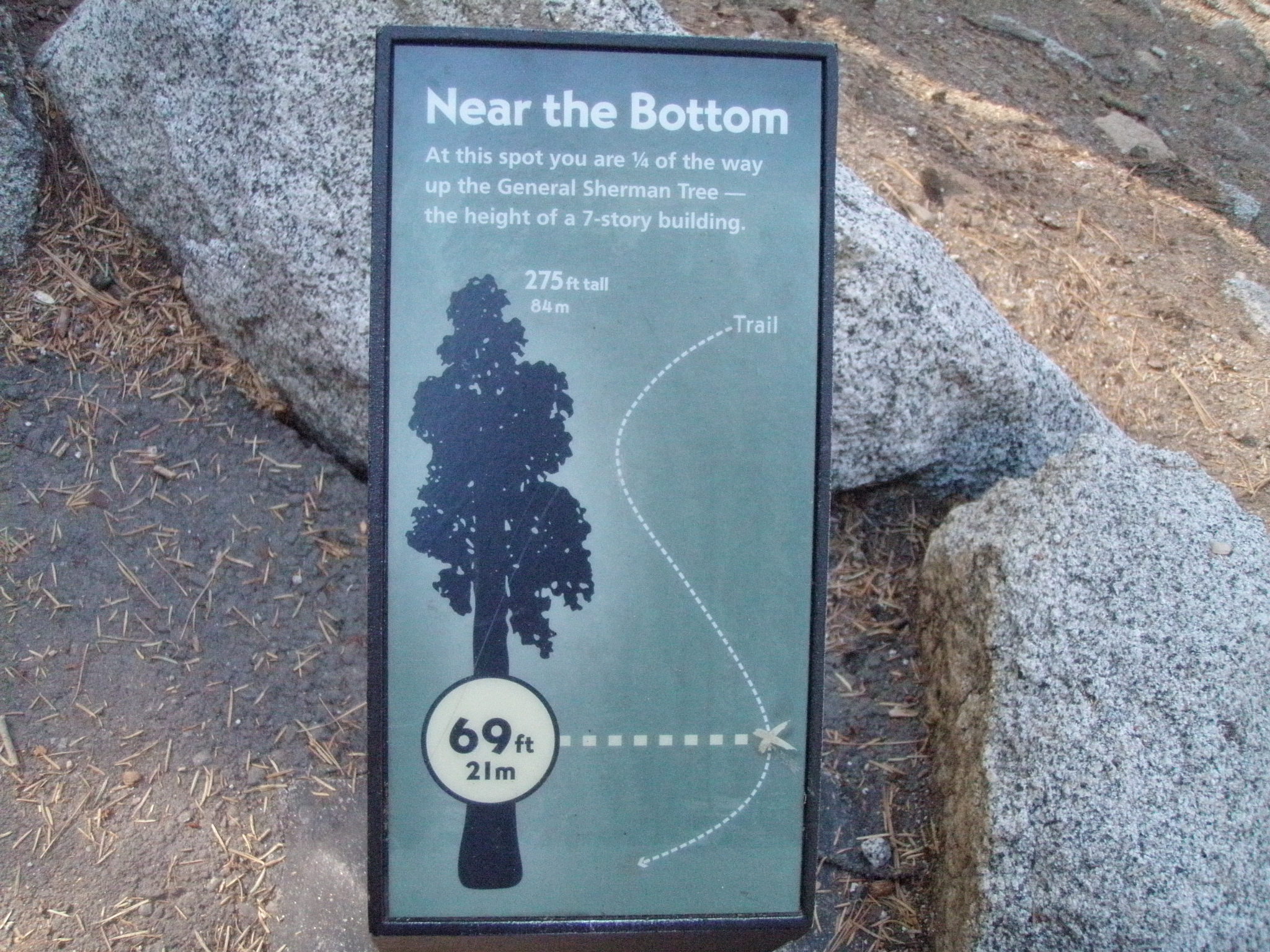
General Sherman Tree Trail: Near the Bottom
~0 min drive
<p>This wayside exhibit, titled "Near the Bottom," shows your location in relationship to the height of the General Sherman Tree.</p>
Rowell Meadow
~16 min drive
Moderate 5.6-mile climb to scenic high meadow with 1,635 ft elevation gain.
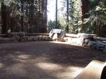
There it is!
~0 min drive
<p>As you stand on the path before this exhibit, notice the pavement has a textured feel. Under your feet, rows of paving stones radiate out in concentric circles from a central point. They represent a cross-section through the base of the General Sherman Tree. The outer edge…
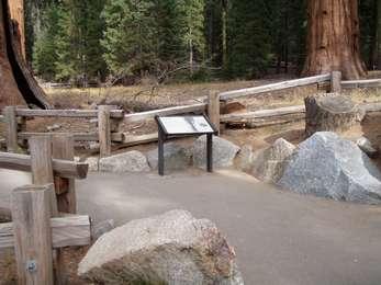
There it is! (General Sherman Tree Accessible Trail)
~1 min drive
<p>This wayside exhibit, titled "There it is!", shows photos about the General Sherman Tree.<br /> <br /> You can also find this exhibit southwest of the General Sherman Tree, near the General Highway Parking Access.</p>