Loading trail…

Free — you'll pick up right here.
Watch this trail
Sign up to watch it — saving subscribes you to gate, closure and report changes.
California
869 ft
Gain
We won't guess. Here is exactly what we do and don't know.
What we do know
Inside Sequoia National Park
National Park unit boundary is mapped — agency alerts for it feed this page automatically.
Boundary data
What's missing
No access route mapped
We don't yet know which road reaches this trailhead, so we can't tell you if it's gated.
Nobody's filed a report here yet — be the first.
Why you'll love it
General Sherman Tree Trail: Near the Bottom
AI-suggested draft · review before you go
No permit or access details on file for this trail — check with the local land manager before you go.
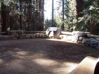
<p>This wayside exhibit, titled "Near the Bottom," shows your location in relationship to the height of the General Sherman Tree.</p>
There it is!
~0 min drive
<p>As you stand on the path before this exhibit, notice the pavement has a textured feel. Under your feet, rows of paving stones radiate out in concentric circles from a central point. They represent a cross-section through the base of the General Sherman Tree. The outer edge…
Stony Creek
~13 min drive
Moderate 7-mile creek trail with 2,500 ft elevation gain.
Jo Pass
~15 min drive
Scenic alpine pass hike with steady elevation gain and mountain views.
General Sherman Tree Trail: Halfway Point
~0 min drive
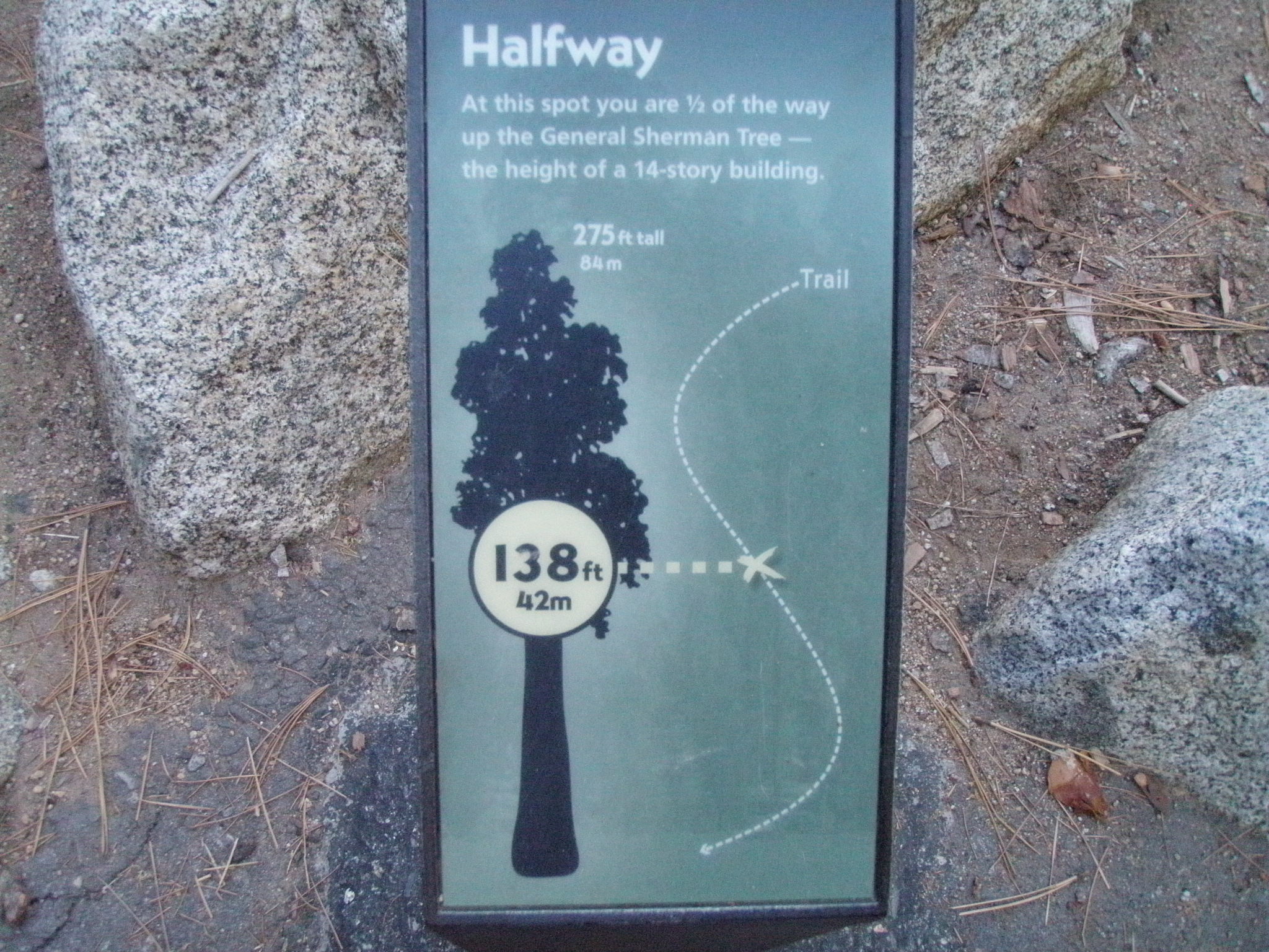
<p>This wayside exhibit, titled "Halfway Point," shows your location in relationship to the height of the General Sherman Tree.</p>
Jennie Lake
~16 min drive
Moderate Sierra alpine lake hike with steady elevation gain and scenic views.
Seville Lakes
~16 min drive
Scenic alpine lakes hike with moderate elevation gain and rewarding views.
There it is! (General Sherman Tree Accessible Trail)
~0 min drive
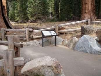
<p>This wayside exhibit, titled "There it is!", shows photos about the General Sherman Tree.<br /> <br /> You can also find this exhibit southwest of the General Sherman Tree, near the General Highway Parking Access.</p>
Rowell Meadow
~17 min drive
Moderate 5.6-mile climb to scenic high meadow with 1,635 ft elevation gain.
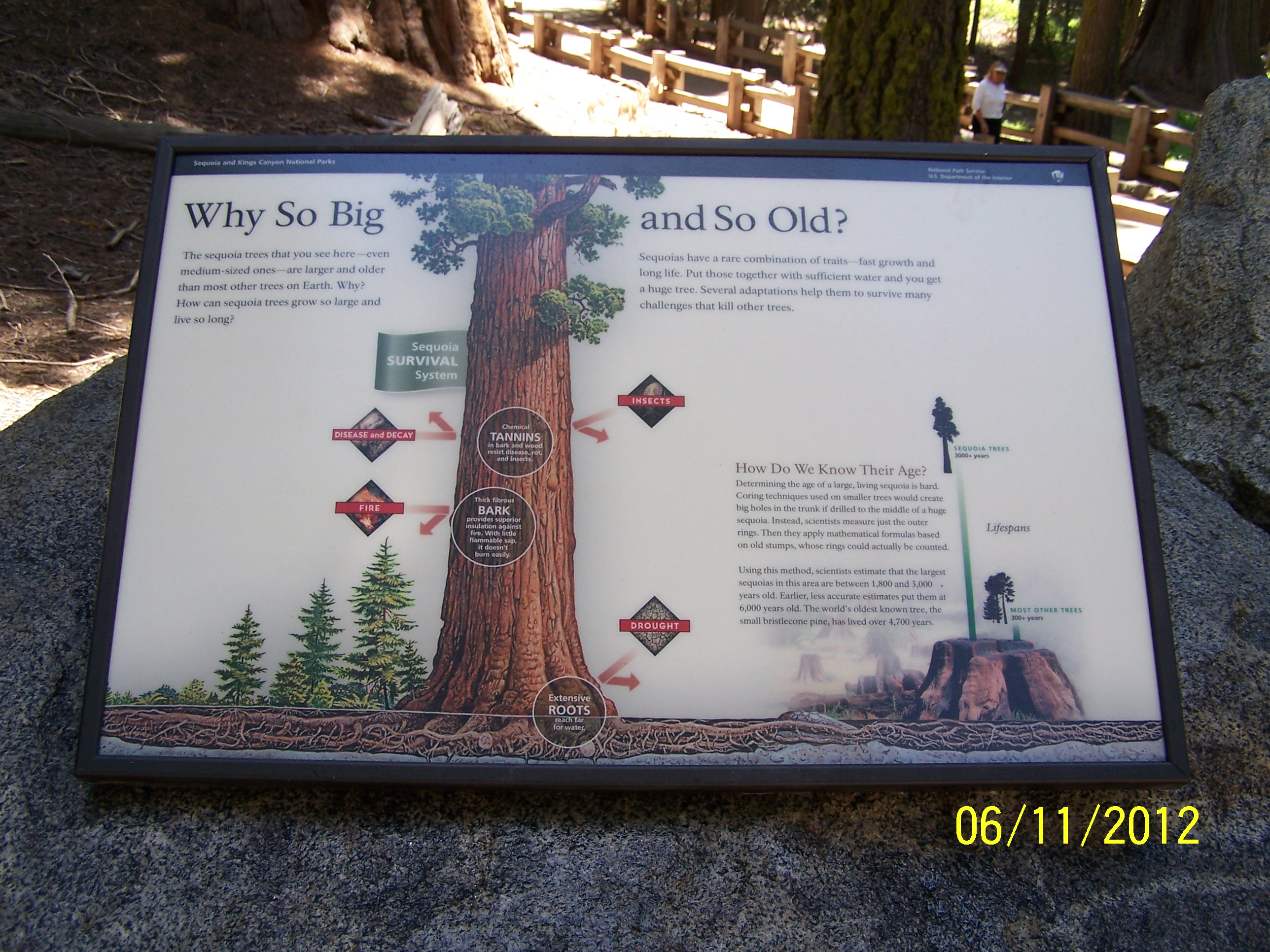
Why so big and so old? (General Sherman Tree Accessible Trail)
~0 min drive
<p>This wayside exhibit, titled "Why so big and so old,?" shows the sequoia's survival system.<br /> <br /> You can also find this exhibit on the west side of the General Sherman Tree.</p>
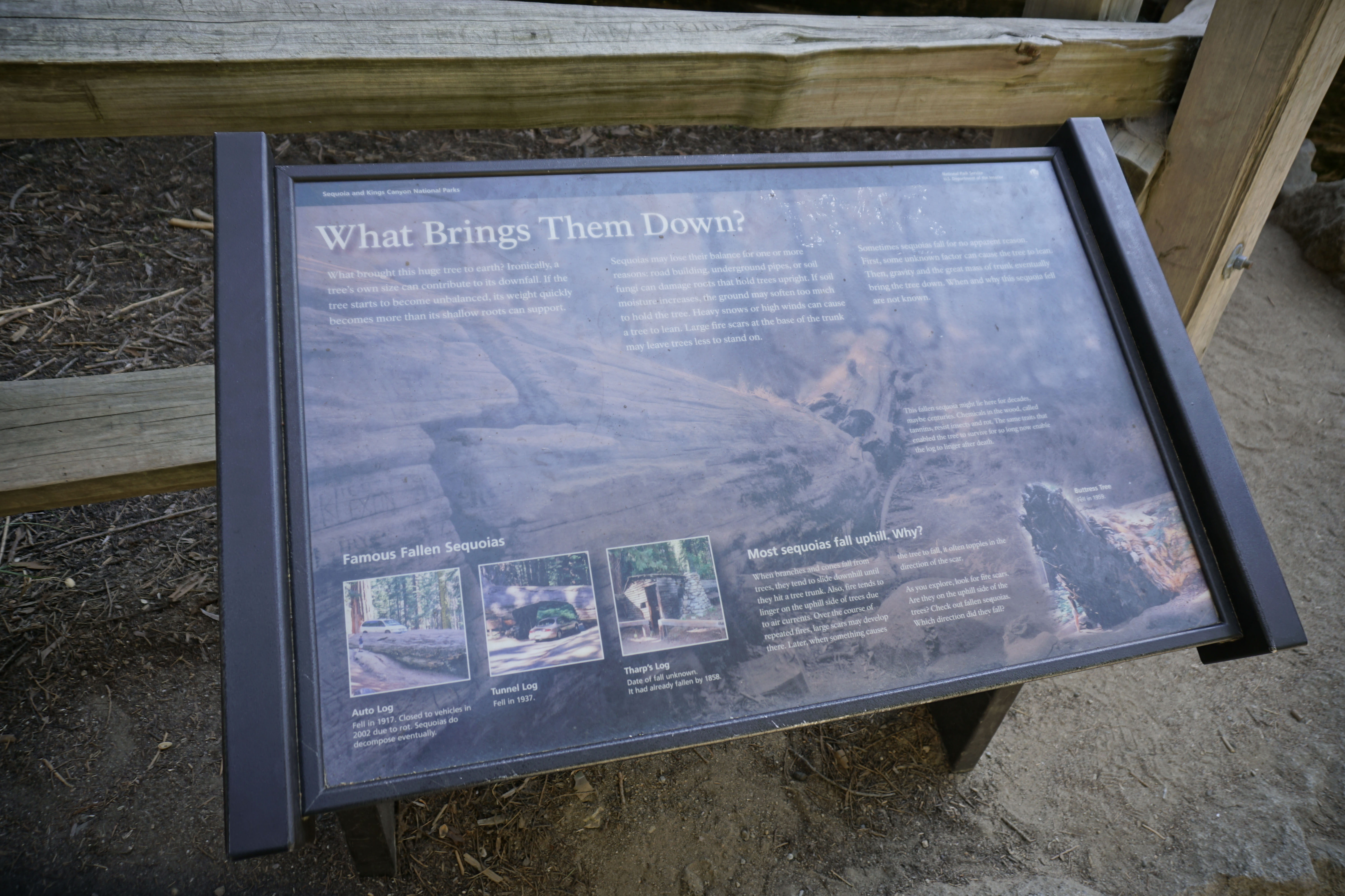
What Brings Them Down?
~0 min drive
<p>This wayside exhibit, titled "What Brings Them Down?," shows photos and explains why sequoia trees fall.</p>