Loading trail…

Free — you'll pick up right here.
Watch this trail
Sign up to watch it — saving subscribes you to gate, closure and report changes.
California
5.6 mi
Distance
1,635 ft
Gain
We won't guess. Here is exactly what we do and don't know.
What we do know
Inside Sequoia National Forest
2 managing-area boundaries mapped — agency alerts for them feed this page automatically.
Boundary data
What's missing
No access route mapped
We don't yet know which road reaches this trailhead, so we can't tell you if it's gated.
Nobody's filed a report here yet — be the first.
Why you'll love it
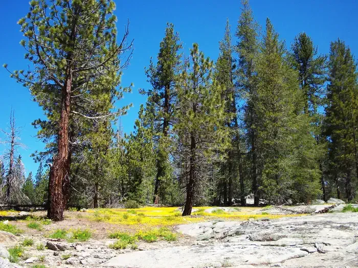
Rowell Meadow
AI-suggested draft · review before you go
Rowell Meadow is a moderate 5.6-mile trail featuring substantial elevation gain through mixed terrain typical of California's mid-elevation ranges. The hike climbs over 1,600 feet, rewarding hikers with meadow views and access to scenic high country. This trail offers a good balance of challenge and accessibility for intermediate hikers seeking alpine meadow environments.
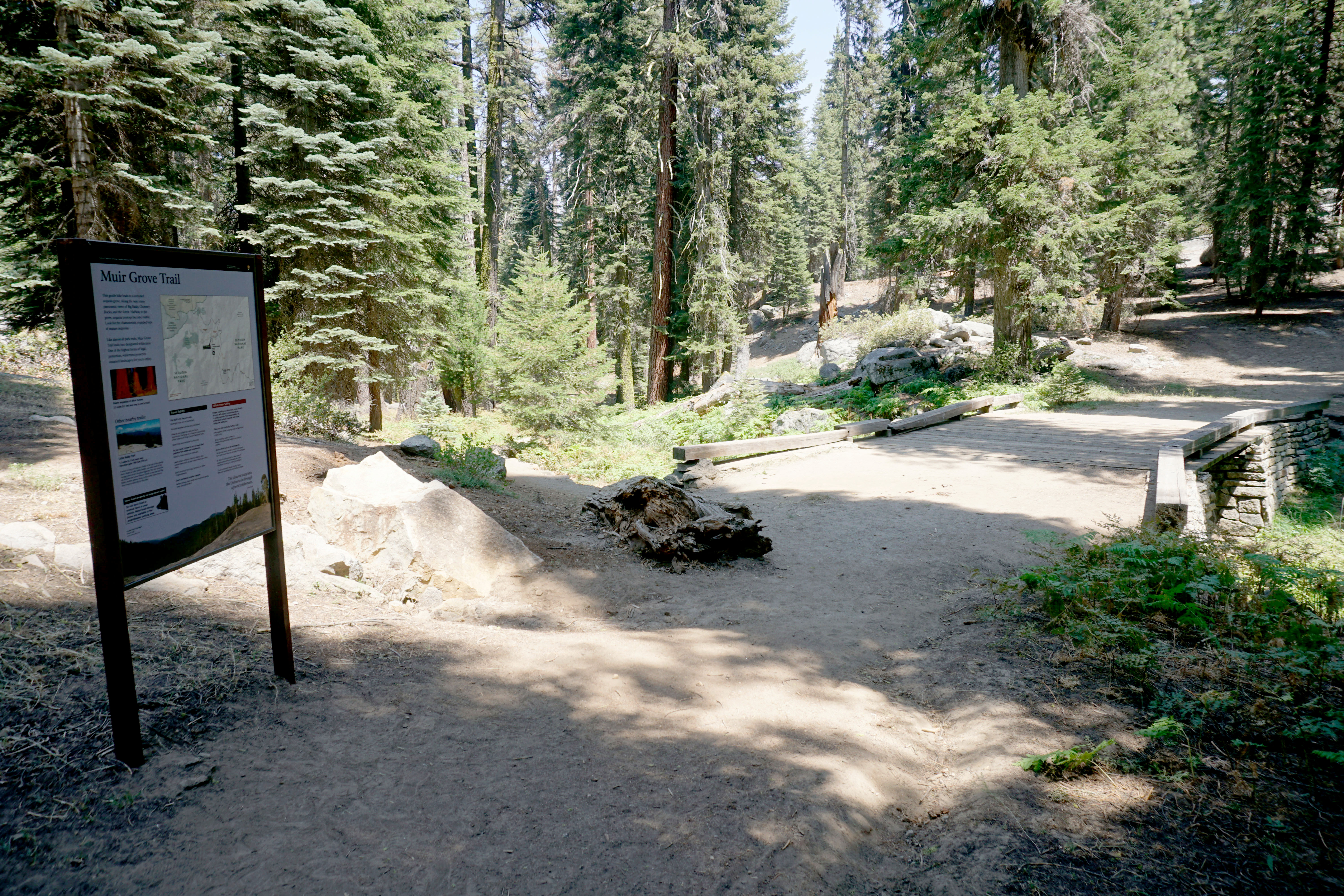
Muir Grove Trailhead
~11 min drive
<p>Muir Grove offers an opportunity to hike into a sequoia grove that's off the beaten path. The gently sloping trail follows a ridgeline that offers distant views of the sequoias as you hike. Once you reach them, enjoy the quiet and calm of the area.</p>
Jo Pass
~2 min drive
Scenic alpine pass hike with steady elevation gain and mountain views.
Marvin Pass
~3 min drive
Short alpine pass hike with gentle elevation gain and accessible terrain.
Jennie Lake
~5 min drive
Moderate Sierra alpine lake hike with steady elevation gain and scenic views.
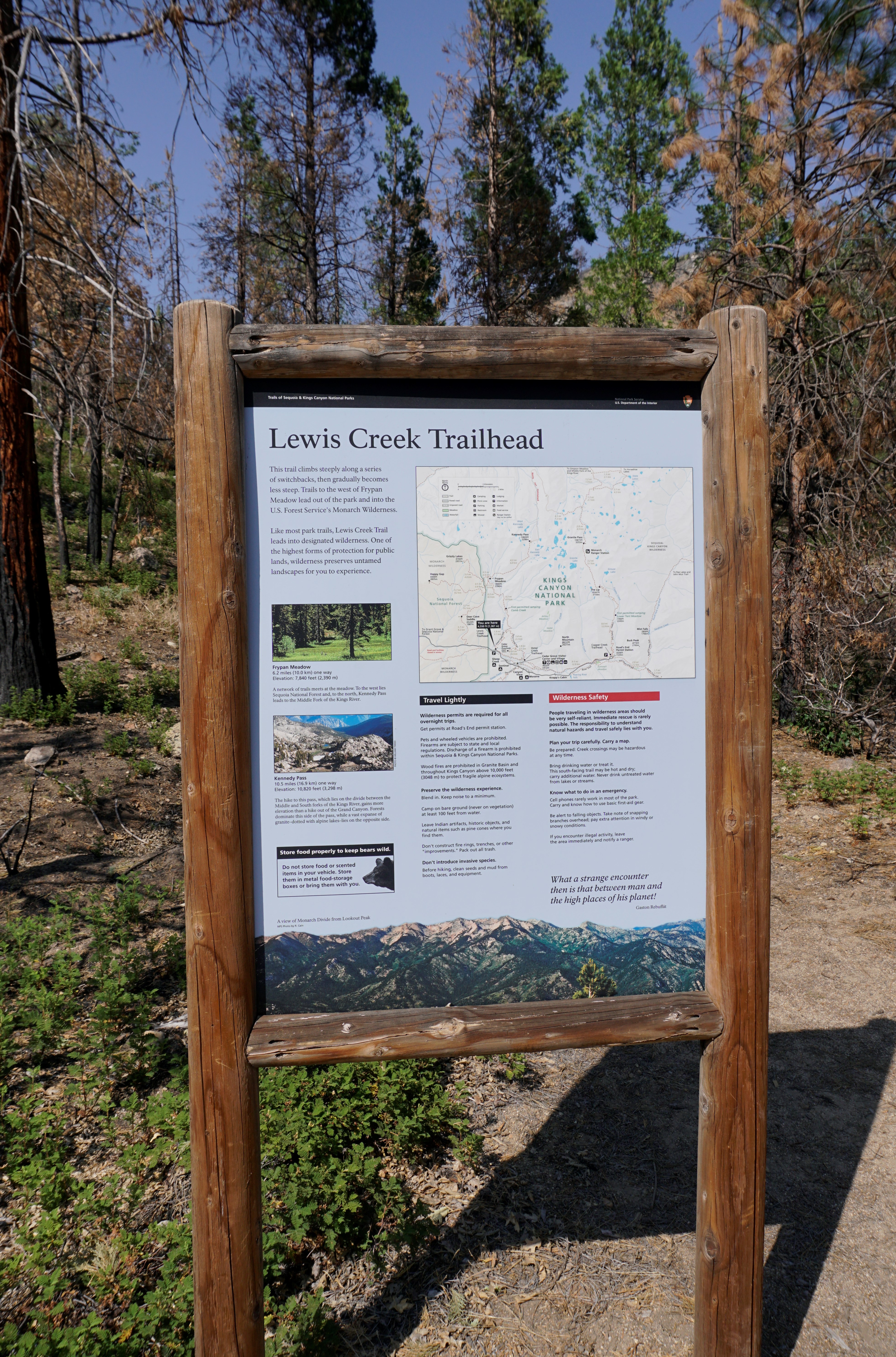
Lewis Creek Trailhead
~12 min drive
<p>This trailhead orientation panel shows a map and images of the Lewis Creek Trail area.<br /> <br /> Lewis Creek Trail is a 9.8 miles one-way trail at a difficult incline. This can be a hot and dusty climb, and the trail becomes difficult to follow north of Kennedy Pass. The…
Seville Lakes
~3 min drive
Scenic alpine lakes hike with moderate elevation gain and rewarding views.
Kanawyer Gap
~3 min drive
Steep 2.4-mile climb with 830 ft elevation gain near Kanawyer Gap.
Kanawyer
~8 min drive
Challenging 21.2-mile backcountry trail with nearly 3,000 ft elevation gain.
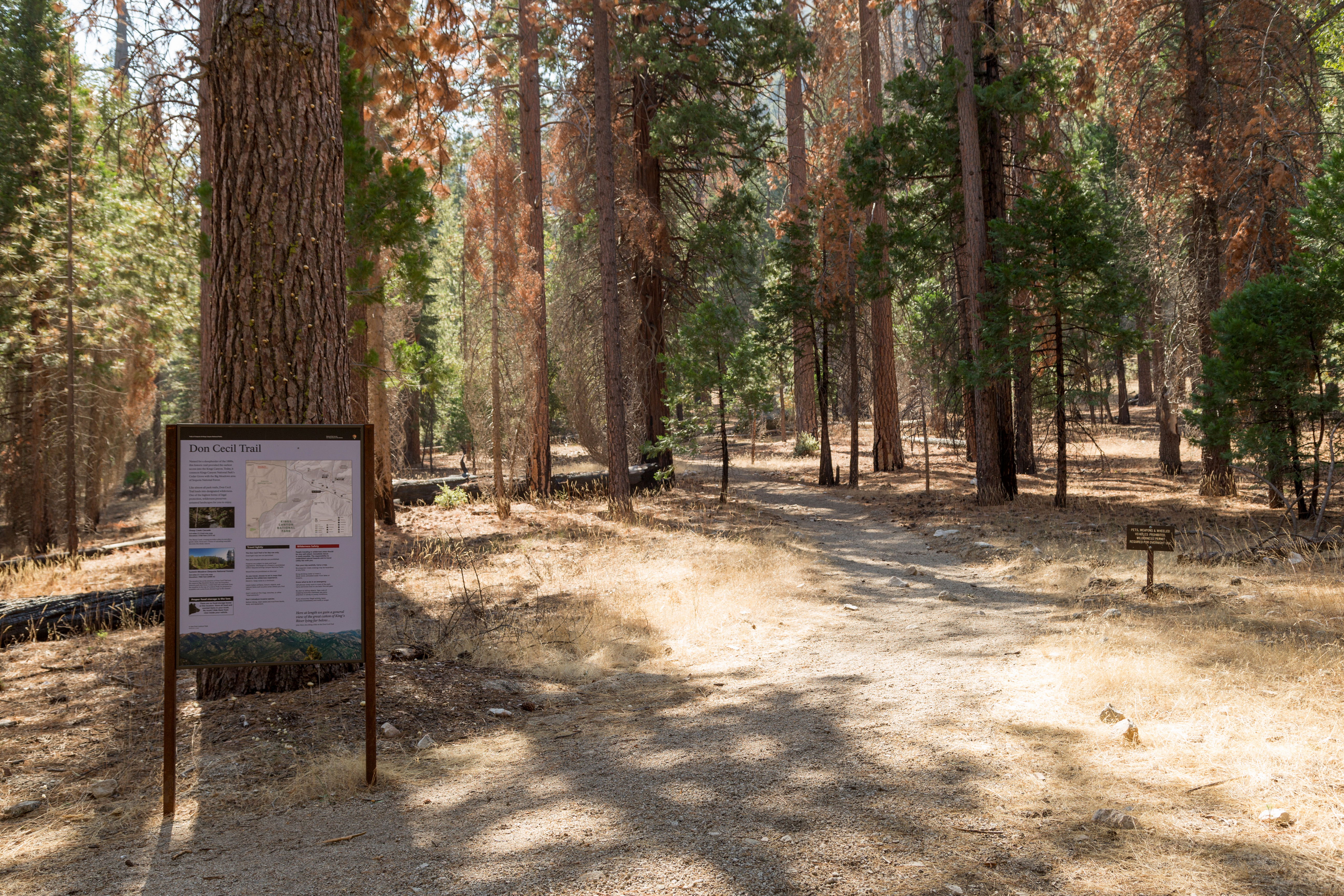
Don Cecil Trailhead
~12 min drive
<p>The 4.4 mile one-way (8.8 mile round-trip) Don Cecil Trail is a steep climb along the north-facing slope of Kings Canyon. If you're looking for a shorter hike, Sheep Creek Cascade is about a mile up the trail and offers a shady spot to sit and relax.<br /> <br /> This histo…
Boulder
~3 min drive
Steep 3.89-mile hike with 1,549 ft gain near Boulder, California.