Loading trail…

Free — you'll pick up right here.
Watch this trail
Sign up to watch it — saving subscribes you to gate, closure and report changes.
Arizona
1.6 mi
Distance
746 ft
Gain
55 min
Time
We won't guess. Here is exactly what we do and don't know.
What we do know
Inside Coronado National Forest
2 managing-area boundaries mapped — agency alerts for them feed this page automatically.
Boundary data
What's missing
No access route mapped
We don't yet know which road reaches this trailhead, so we can't tell you if it's gated.
Nobody's filed a report here yet — be the first.
Why you'll love it
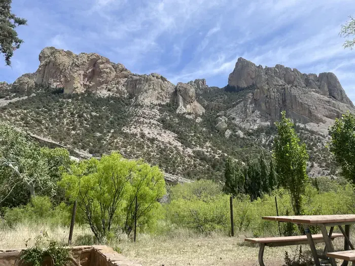
Rucker Peak
AI-suggested draft · review before you go
No permit or access details on file for this trail — check with the local land manager before you go.
Rucker Peak is a short out-and-back trail in Arizona offering a steep climb for its modest distance. The 1.6-mile route gains 746 feet of elevation, making it a challenging hike relative to its length with an average grade of around 28%. This intensity makes it well-suited for hikers seeking a quick but strenuous workout rather than a leisurely walk. The out-and-back format means you'll retrace your steps on the return journey. Given the elevation gain concentrated over such a short distance, hikers should prepare for sustained climbing. The trail's compact nature makes it accessible for those with limited time but looking for meaningful elevation gain and physical challenge. Proper footwear and adequate hydration are recommended given the steepness involved.
Devils Canyon
~2 min drive
6.3 mi · Hard
Turtle Mountain
~6 min drive
4.6 mi · Moderate
Cub Canyon
~7 min drive
1.6 mi · Easy
North Bruno
~3 min drive
7.6 mi · Hard
Pine Gulch
~6 min drive
5.8 mi · Moderate
Turtle Mountain Trail #219
~12 min drive
3.5 mi · Easy
John Long
~7 min drive
8.0 mi · Hard
Red Rock Canyon Trail #223
~8 min drive
10 mi · Moderate
Crest Trail #270B
~12 min drive
5.8 mi · Easy
Price Shake
~12 min drive
6.9 mi · Hard
Also worth it near here