Loading trail…

Free — you'll pick up right here.
Watch this trail
Sign up to watch it — saving subscribes you to gate, closure and report changes.
Arizona
5.8 mi
Distance
422 ft
Gain
2h 8m
Time
We won't guess. Here is exactly what we do and don't know.
What we do know
Inside Coronado National Forest
3 managing-area boundaries mapped — agency alerts for them feed this page automatically.
Boundary data
What's missing
No access route mapped
We don't yet know which road reaches this trailhead, so we can't tell you if it's gated.
Nobody's filed a report here yet — be the first.
Why you'll love it
Crest Trail #270B
AI-suggested draft · review before you go
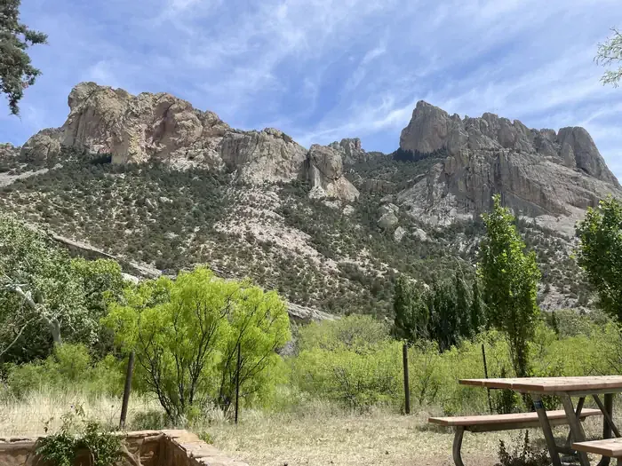
Crest Trail #270B is a 5.8-mile out-and-back trail located in Arizona and managed by the U.S. Forest Service. The route features a modest elevation gain of 422 feet, making it accessible for hikers of varying fitness levels. The trail's out-and-back configuration allows hikers to turn around at any point and return via the same route, providing flexibility for different experience levels or time constraints. The gentle elevation profile and moderate distance make this trail suitable for a half-day hike. Hikers can expect to experience the natural landscape characteristic of Arizona's forested areas while enjoying a manageable climb. The trail is maintained by the U.S. Forest Service, ensuring regular upkeep and adherence to safety standards. Whether you're looking for a straightforward morning adventure or a moderate afternoon outing, Crest Trail #270B offers a well-maintained route through Arizona's outdoor spaces. The combination of distance, elevation gain, and out-and-back design makes it an appealing option for local hikers and visitors exploring the area's trail network.
Turtle Mountain Trail #219
~2 min drive
3.5 mi · Easy
Brushy Canyon
~3 min drive
5.0 mi · Moderate
Morse Canyon
~3 min drive
8.2 mi · Hard
Ojo Agua Fria
~3 min drive
A 2-mile out-and-back singletrack in Arizona that connects to the Crest Trail and Chiricahua Peak Bypass Trail.
Monte Vista Trail #221
~3 min drive
8.3 mi · Moderate
Snowshed Trail #246
~4 min drive
17 mi · Hard
Bear Wallow
~6 min drive
1.6 mi · Easy
Rasberry Ridge Trail #228
~5 min drive
8.8 mi · Moderate
Mormon Canyon
~5 min drive
5.9 mi · Hard
Cub Canyon
~6 min drive
1.6 mi · Easy
Also worth it near here