Loading trail…

Free — you'll pick up right here.
Watch this trail
Sign up to watch it — saving subscribes you to gate, closure and report changes.
Wyoming
2.8 mi
Distance
104 ft
Gain
59 min
Time
We won't guess. Here is exactly what we do and don't know.
What we do know
Inside Devils Tower National Monument
National Park unit boundary is mapped — agency alerts for it feed this page automatically.
Boundary data
What's missing
No access route mapped
We don't yet know which road reaches this trailhead, so we can't tell you if it's gated.
Nobody's filed a report here yet — be the first.
Why you'll love it
Tower Trail
AI-suggested draft · review before you go
No permit or access details on file for this trail — check with the local land manager before you go.
Tower Trail is a 1.4-mile out-and-back hike located in Wyoming. This short trail offers an accessible option for hikers looking for a quick outing in the area. The out-and-back format means you'll retrace your steps on the return journey, making navigation straightforward. The trail is ideal for those with limited time or hikers seeking a less strenuous adventure. Given its modest distance, Tower Trail works well as a warm-up hike or as part of a larger day spent exploring the region. The specific elevation gain information is not currently available, so checking conditions locally before your visit is recommended. Whether you're a casual walker or a seasoned hiker looking for an easy trail, Tower Trail provides a simple route through Wyoming's landscape. Check with local ranger stations or trail maintenance resources for the most current information on trail conditions and any seasonal closures before heading out.
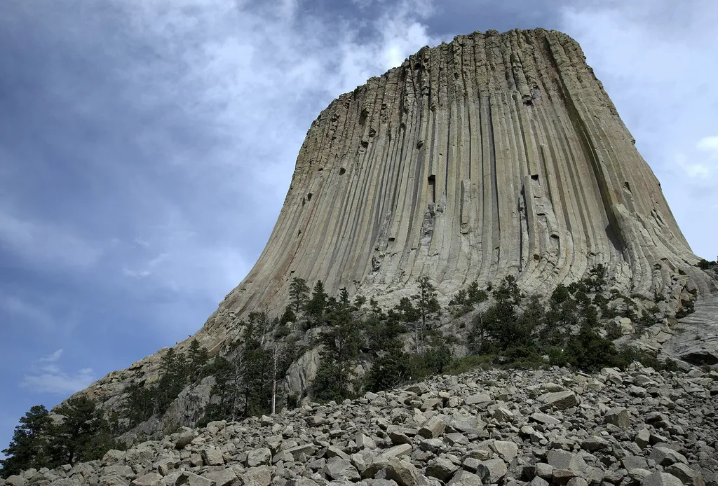
Devils Tower Boulder Field
~0 min drive
<p paraeid="{fc5c9f79-92b8-441a-94e1-4cf376bcbde1}{173}" paraid="827932320">As the first stop on the Tower Trail, the boulder field is the first close-up impression you get of Devils Tower. From the trail, the Tower appears perched atop this giant pile of boulders. Cracks in t…

Joyner Ridge Trail
~1 min drive
1.5 mi · Easy

Snow-F1
~25 min drive
5.0 mi · Moderate

Snow-K
~27 min drive
9.6 mi · Hard
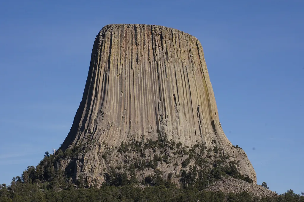
Joyner Ridge
~1 min drive
<p lang="EN-US" paraeid="{287ac1e3-519d-4639-843a-5c7babcf517c}{163}" paraid="802754861" xml:lang="EN-US">Joyner Ridge is one of the quietest, yet most scenic, places in Devils Tower National Monument. Set to the north of the Tower, Joyner Ridge offers brilliant views of the T…
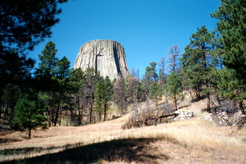
Valley View Trail
~1 min drive
1.1 mi · Easy
Sundance Sheepnose Mountain
~29 min drive
4.5 mi · Moderate
Snow-B-North
~27 min drive
13 mi · Hard
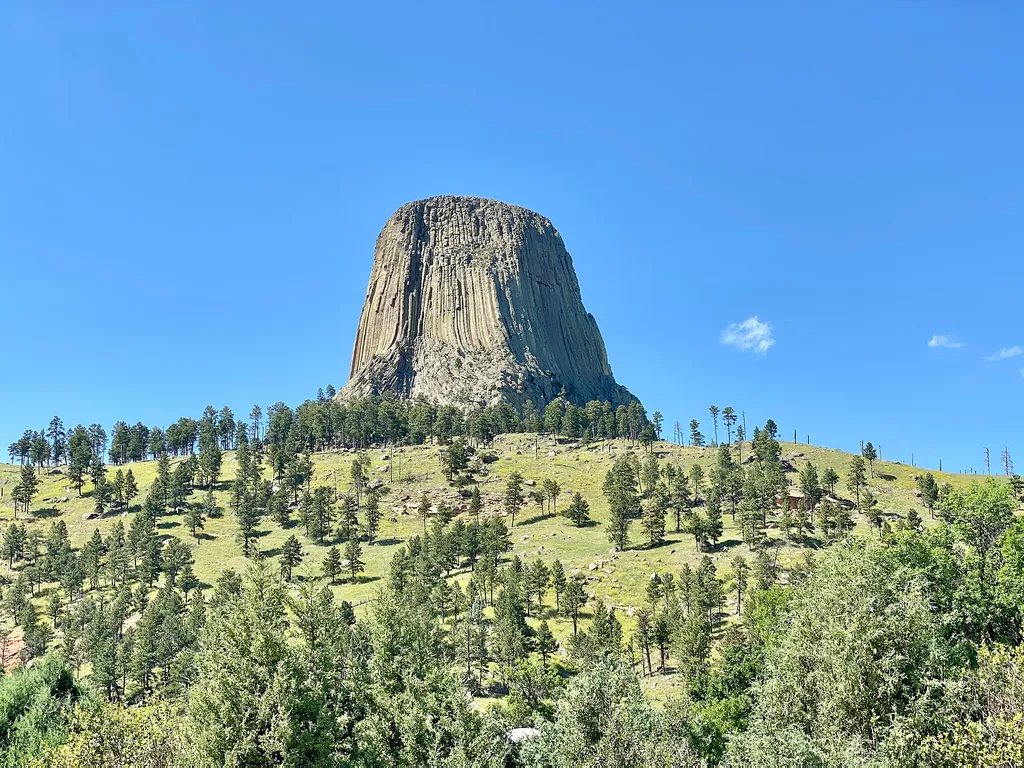
Amphitheater (Devils Tower National Monument)
~1 min drive
<p paraeid="{9df3681c-f9ac-4403-b29d-ccad342e45fe}{147}" paraid="1194666483">The park’s amphitheater is a great place to catch <a href="https://www.nps.gov/deto/planyourvisit/rangerledactivities.htm">ranger programs</a> (in season), have a seat, or <a href="https://www.nps.gov…

South Side Trail
~1 min drive
0.9 mi · Easy