Loading trail…

Free — you'll pick up right here.
Watch this trail
Sign up to watch it — saving subscribes you to gate, closure and report changes.
Wyoming
12.7 mi
Distance
1,711 ft
Gain
4h 30m
Time
Agency alerts are in effect for this area; weather is good
2 factors · 2 sources
Newest 1 h ago · oldest 15 d
caution: Agency alerts
23 active alerts in Black Hills National Forest; most severe: Order 010 - Nuclear Burial Site - Warren Peak
USFS15 d ago
clear: Weather
Clear, high 71°F / low 50°F, 0% precip — 99/100 for hike
OpenWeather1 h ago
Been out here in the last few days? One report keeps this current for everyone.
Why you'll love it
Snow-E
AI-suggested draft · review before you go
No permit or access details on file for this trail — check with the local land manager before you go.
Snow-E is a 12.7-mile out-and-back trail located in Wyoming. This trail offers hikers a substantial day-hike experience in the Wyoming landscape. The out-and-back format means you'll travel to a destination point and return along the same route, covering approximately 6.35 miles in each direction. The trail is situated in a region that provides access to Wyoming's natural terrain. Whether you're seeking a moderate to challenging hike or looking to explore the area's outdoor offerings, Snow-E accommodates various skill levels depending on trail conditions. Before heading out, be prepared with adequate water and supplies for the full 12.7-mile journey. Check current trail conditions and weather forecasts, as Wyoming weather can change rapidly. The out-and-back format allows flexibility in turning back at any point if needed. This trail is ideal for hikers wanting to experience Wyoming's backcountry in a day trip. Plan for a full day of hiking to complete the route comfortably and safely.

Snow-F1
~1 min drive
5.0 mi · Moderate

Snow-K
~3 min drive
9.6 mi · Hard
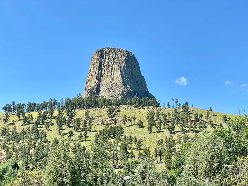
Amphitheater (Devils Tower National Monument)
~23 min drive
<p paraeid="{9df3681c-f9ac-4403-b29d-ccad342e45fe}{147}" paraid="1194666483">The park’s amphitheater is a great place to catch <a href="https://www.nps.gov/deto/planyourvisit/rangerledactivities.htm">ranger programs</a> (in season), have a seat, or <a href="https://www.nps.gov…

South Side Trail
~23 min drive
0.9 mi · Easy
Sundance Sheepnose Mountain
~4 min drive
4.5 mi · Moderate
Snow-B-North
~3 min drive
13 mi · Hard
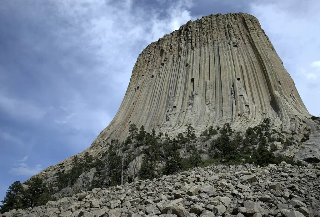
Devils Tower Boulder Field
~24 min drive
<p paraeid="{fc5c9f79-92b8-441a-94e1-4cf376bcbde1}{173}" paraid="827932320">As the first stop on the Tower Trail, the boulder field is the first close-up impression you get of Devils Tower. From the trail, the Tower appears perched atop this giant pile of boulders. Cracks in t…
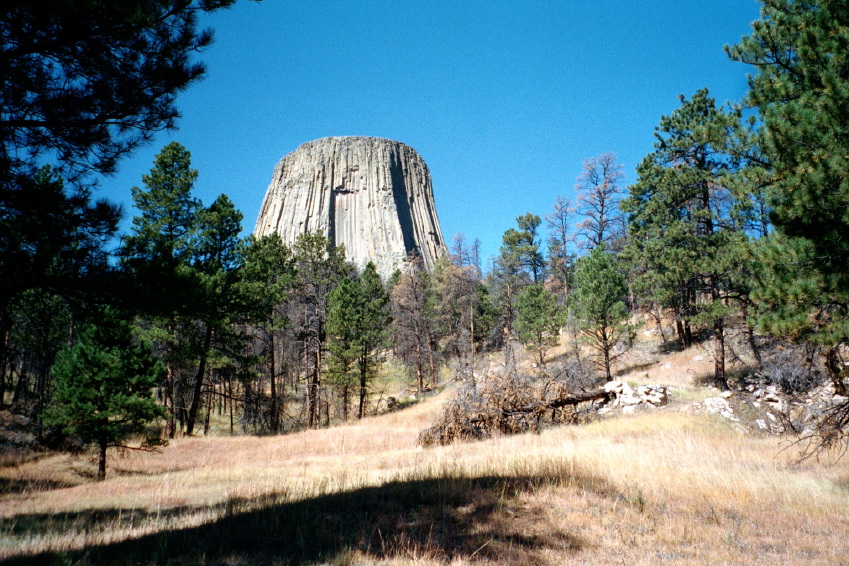
Valley View Trail
~23 min drive
1.1 mi · Easy
Snow-A2
~3 min drive
4.0 mi · Moderate
Snow-B-South
~5 min drive
17 mi · Hard