Loading trail…

Free — you'll pick up right here.
Watch this trail
Sign up to watch it — saving subscribes you to gate, closure and report changes.
Wyoming
2.9 mi
Distance
318 ft
Gain
1h 7m
Time
We won't guess. Here is exactly what we do and don't know.
What we do know
Inside Devils Tower National Monument
National Park unit boundary is mapped — agency alerts for it feed this page automatically.
Boundary data
What's missing
No access route mapped
We don't yet know which road reaches this trailhead, so we can't tell you if it's gated.
Nobody's filed a report here yet — be the first.
Why you'll love it
Red Beds Trail
AI-suggested draft · review before you go
Red Beds Trail is a 2.9-mile loop trail located in Wyoming and managed by the National Park Service. This route offers hikers an accessible circular path through the region's distinctive red-colored geological formations that give the trail its name. The loop format makes this trail convenient for day hikers seeking a complete route without backtracking. The relatively modest distance of 2.9 miles suits hikers of various experience levels looking for a moderate outing. As a National Park Service-maintained trail, Red Beds Trail benefits from regular upkeep and established markers. The trail's proximity to Wyoming makes it a viable option for those exploring the state's natural attractions. Visitors interested in geology will appreciate the opportunity to observe the red bed formations characteristic of the area. The loop structure and manageable distance make this trail suitable for families and casual hikers exploring Wyoming's outdoor offerings.
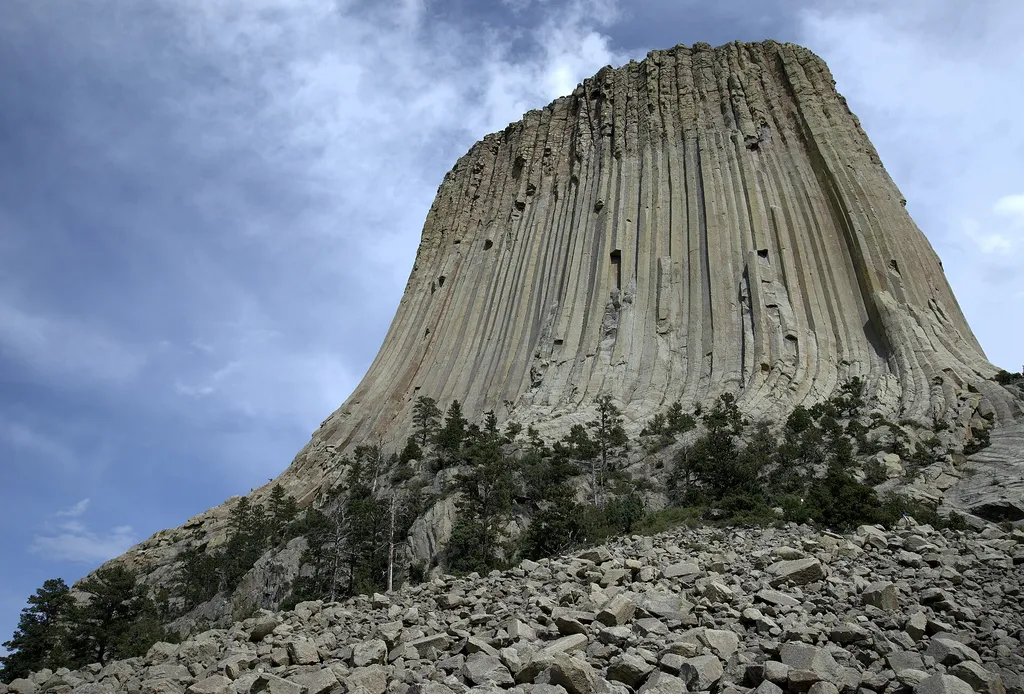
Devils Tower Boulder Field
~0 min drive
<p paraeid="{fc5c9f79-92b8-441a-94e1-4cf376bcbde1}{173}" paraid="827932320">As the first stop on the Tower Trail, the boulder field is the first close-up impression you get of Devils Tower. From the trail, the Tower appears perched atop this giant pile of boulders. Cracks in t…

Joyner Ridge Trail
~1 min drive
1.5 mi · Easy

Snow-F1
~25 min drive
5.0 mi · Moderate

Snow-K
~27 min drive
9.6 mi · Hard
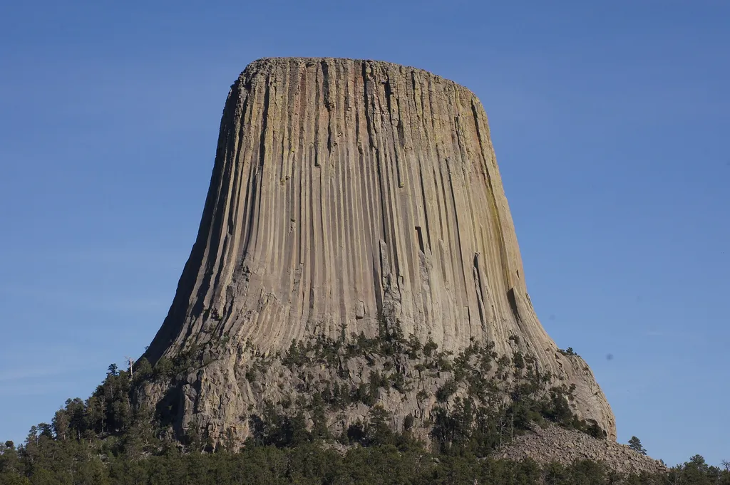
Joyner Ridge
~1 min drive
<p lang="EN-US" paraeid="{287ac1e3-519d-4639-843a-5c7babcf517c}{163}" paraid="802754861" xml:lang="EN-US">Joyner Ridge is one of the quietest, yet most scenic, places in Devils Tower National Monument. Set to the north of the Tower, Joyner Ridge offers brilliant views of the T…
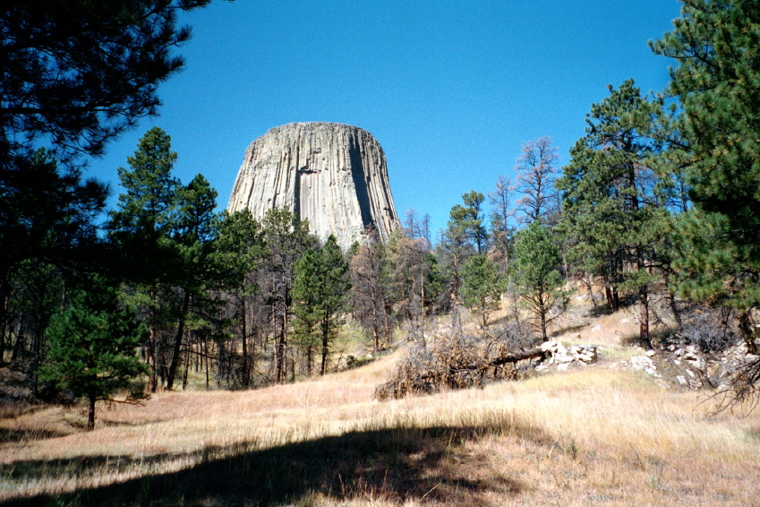
Valley View Trail
~1 min drive
1.1 mi · Easy
Sundance Sheepnose Mountain
~29 min drive
4.5 mi · Moderate
Snow-B-North
~27 min drive
13 mi · Hard
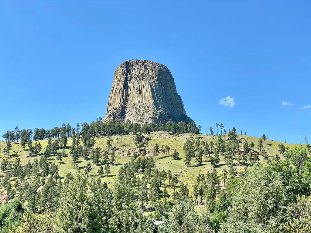
Amphitheater (Devils Tower National Monument)
~1 min drive
<p paraeid="{9df3681c-f9ac-4403-b29d-ccad342e45fe}{147}" paraid="1194666483">The park’s amphitheater is a great place to catch <a href="https://www.nps.gov/deto/planyourvisit/rangerledactivities.htm">ranger programs</a> (in season), have a seat, or <a href="https://www.nps.gov…

South Side Trail
~1 min drive
0.9 mi · Easy