Loading trail…

Climbing Kiosk (Devils Tower National Monument)
Free — you'll pick up right here.
Watch this trail
Sign up to watch it — saving subscribes you to gate, closure and report changes.
Wyoming
We won't guess. Here is exactly what we do and don't know.
What we do know
Inside Devils Tower National Monument
National Park unit boundary is mapped — agency alerts for it feed this page automatically.
Boundary data
What's missing
No access route mapped
We don't yet know which road reaches this trailhead, so we can't tell you if it's gated.
Nobody's filed a report here yet — be the first.
Climbing Kiosk (Devils Tower National Monument)
AI-suggested draft · review before you go
No elevation data on file for this trail.
Register to rock climb at the climbing kiosk. The kiosk is located in the visitor center hub near the start of the Tower Trail. Anyone who climbs or scrambles above the boulder field must self-register before starting and must deposit the return slip at the end of each climb. Learn more about rocking climbing at Devils Tower and current route closures. The climbing kiosk also typically has recent weather information, current climbing closures, and other pertinent information to climbers. In season, climbing rangers often patrol the area to answer questions and ensure registration. Anyone with questions or comments may call the climbing office at (307) 467-5283 x632. Failure to obtain a permit is subject to citation and fine. This mandatory registration is free and in the best interests of you and the climbing community: it ensures climber safety, documents use of the Tower as a climbing resource, and becomes part of a historical database that has been maintained since 1937. Climbers are asked to park their vehicles in the lower gravel parking lot. This can be reached by taking a right at the stop sign when they reach the top of the park road.
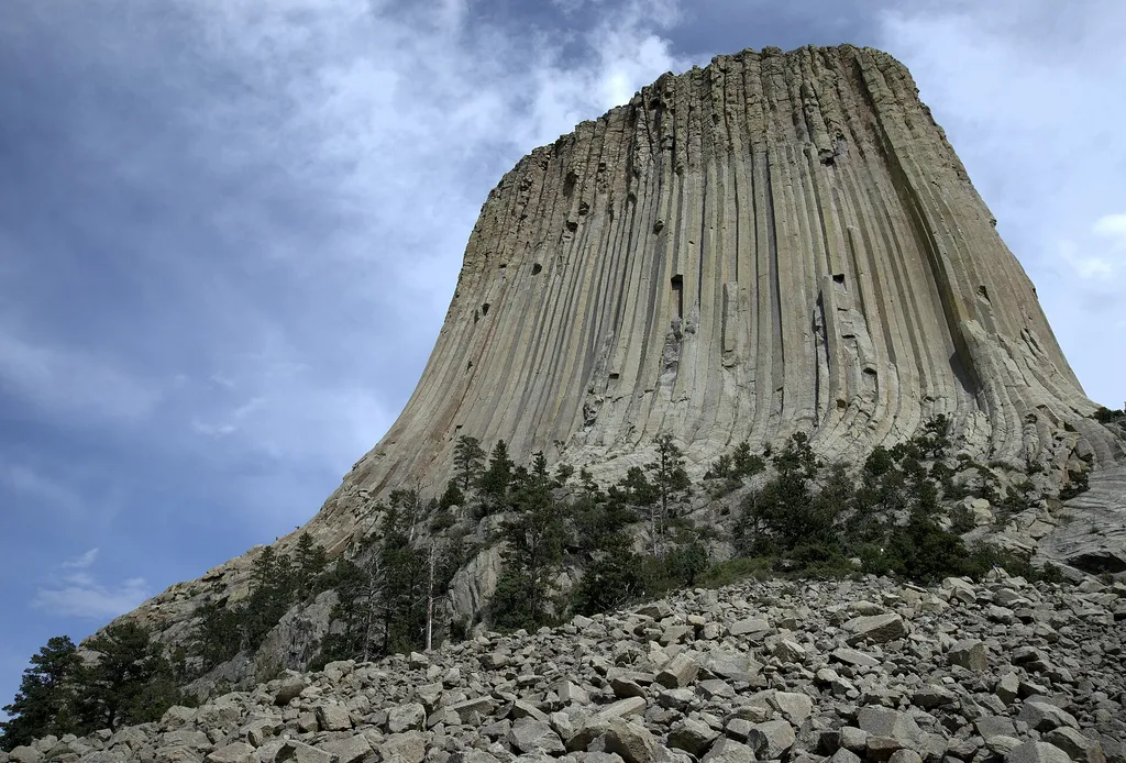
Devils Tower Boulder Field
~0 min drive
<p paraeid="{fc5c9f79-92b8-441a-94e1-4cf376bcbde1}{173}" paraid="827932320">As the first stop on the Tower Trail, the boulder field is the first close-up impression you get of Devils Tower. From the trail, the Tower appears perched atop this giant pile of boulders. Cracks in t…

Joyner Ridge Trail
~1 min drive
1.5 mi · Easy

Snow-F1
~25 min drive
5.0 mi · Moderate

Snow-K
~27 min drive
9.6 mi · Hard
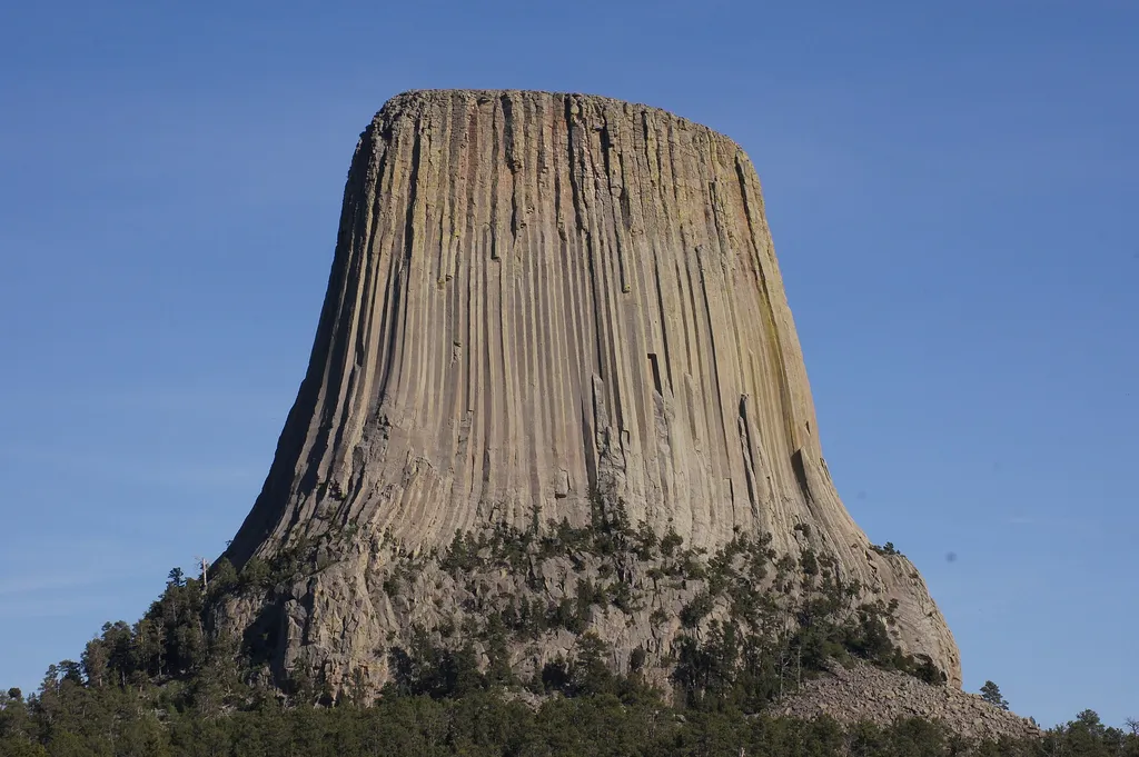
Joyner Ridge
~1 min drive
<p lang="EN-US" paraeid="{287ac1e3-519d-4639-843a-5c7babcf517c}{163}" paraid="802754861" xml:lang="EN-US">Joyner Ridge is one of the quietest, yet most scenic, places in Devils Tower National Monument. Set to the north of the Tower, Joyner Ridge offers brilliant views of the T…
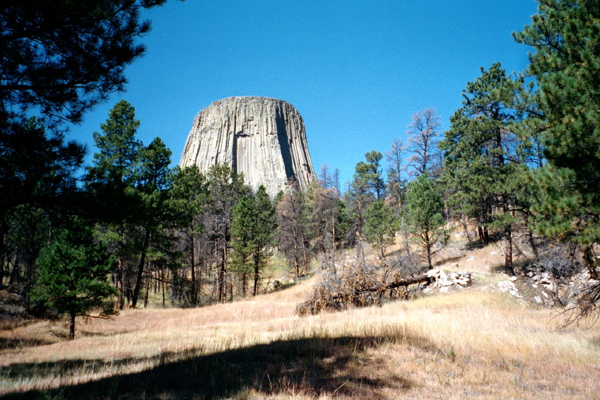
Valley View Trail
~1 min drive
1.1 mi · Easy
Sundance Sheepnose Mountain
~29 min drive
4.5 mi · Moderate
Snow-B-North
~27 min drive
13 mi · Hard
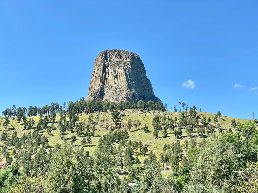
Amphitheater (Devils Tower National Monument)
~1 min drive
<p paraeid="{9df3681c-f9ac-4403-b29d-ccad342e45fe}{147}" paraid="1194666483">The park’s amphitheater is a great place to catch <a href="https://www.nps.gov/deto/planyourvisit/rangerledactivities.htm">ranger programs</a> (in season), have a seat, or <a href="https://www.nps.gov…

South Side Trail
~1 min drive
0.9 mi · Easy