Loading trail…

Black Dragon's Caldron
Free — you'll pick up right here.
Watch this trail
Sign up to watch it — saving subscribes you to gate, closure and report changes.
Wyoming
We won't guess. Here is exactly what we do and don't know.
What we do know
Inside Yellowstone National Park
National Park unit boundary is mapped — agency alerts for it feed this page automatically.
Boundary data
What's missing
No access route mapped
We don't yet know which road reaches this trailhead, so we can't tell you if it's gated.
Nobody's filed a report here yet — be the first.
Black Dragon's Caldron
AI-suggested draft · review before you go
No elevation data on file for this trail.
In 1948, Black Dragon’s Caldron burst through a crack in the earth. It uprooted and coated nearby trees with thick mud. Since then, this mudpot moved south 200 feet (60 m) along the crack. The spring feeding nearby Sour Lake was much more active before Black Dragon’s Caldron formed. Perhaps underground changes diverted heat energy from Sour Lake to form this mudpot, which a park ranger named for its color and the apparent lashing of the “dragon’s tongue.” Mudpots Mudpots are acidic features with a limited water supply. Some microorganisms use hydrogen sulfide, which rises from deep within the earth, as an energy source. They help convert the gas to sulfuric acid, which breaks down rock to wet clay mud and creates the area’s smell. The pungent odor of rotten eggs is caused by the hydrogen sulfide gas. Various gases escape through the wet clay mud, causing it to bubble. Mudpot consistency and activity vary with the seasons and precipitation. The Smell Mudpots are acidic features with a limited water supply. Some microorganisms use hydrogen sulfide, which rises from deep within the earth, as an energy source. They help convert the gas to sulfuric acid, which breaks down rock to wet clay mud and creates the area’s smell. The pungent odor of rotten eggs is caused by the hydrogen sulfide gas. Various gases escape through the wet clay mud, causing it to bubble. Mudpot consistency and activity vary with the seasons and precipitation. Mud Volcano Area The Mud Volcano area has many mudpots and hillsides strewn with trees cooked by steam. The hydrothermal features here are some of the most acidic in the park. Mud Volcano is near the greatest uplift and sinking of the Yellowstone Caldera floor. Many faults converge here and earthquakes are common. The areas surrounding the Mud Volcano vent and the other major vent near Old Faithful are called resurgent domes. Resurgent domes are active ground deformation, where the land moves up or down with the fluctuation of the magma chamber below. Scientists monitor these domes closely for information about ongoing volcanic activity. Use Caution in Hydrothermal Areas Stay on boardwalks and designated trails. Hydrothermal water can severely burn you. Never run, push, or shove. Supervise children at all times. Do not scratch hydrothermal mats. You are responsible for your safety. Think safety, act safely. Yellowstone is a dangerous place.
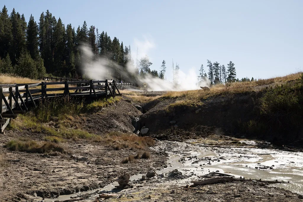
Sizzling Basin
~0 min drive
<p>A hot spring that has existing activity much like grease on a hot frying pan.</p>
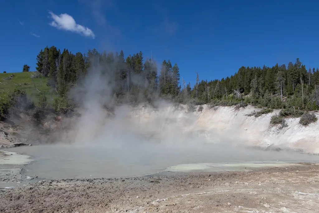
Mud Caldron
~0 min drive
<p>A large mudpot located near the parking area.</p>

Mount Washburn Spur Trail
~13 min drive
17 mi · Hard
Seven Mile Hole Trail
~13 min drive
9.9 mi · Moderate
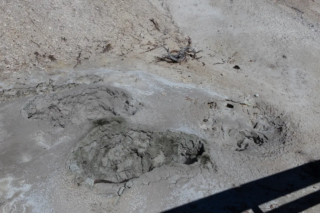
Grizzly Fumarole
~0 min drive
<p>While named a fumarole, this feature will change based on recent precipitation. When dry, it is a fumarole. When it has been rainy, this feature can be a mudpot.</p>

Elephant Back Mountain Trail
~8 min drive
5.8 mi · Easy

Howard Eaton Trail
~20 min drive
22 mi · Hard

Observation Peak Trail
~16 min drive
9.4 mi · Moderate
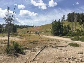
Cooking Hillside
~0 min drive
<p>The trees on this hillside are cooked by steam.</p> <p>In 1978, an earthquake swarm occurred at Mud Volcano. The intense swarm lasted about seven months. This hillside experienced increased heat, causing the vegetation to die.</p> <p>Researchers are able to study tree rings…

Pelican Creek Nature Trail
~10 min drive
1.3 mi · Easy