Loading trail…

Free — you'll pick up right here.
Watch this trail
Sign up to watch it — saving subscribes you to gate, closure and report changes.
Wyoming
9.9 mi
Distance
256 ft
Gain
3h 26m
Time
We won't guess. Here is exactly what we do and don't know.
What we do know
Inside Yellowstone National Park
National Park unit boundary is mapped — agency alerts for it feed this page automatically.
Boundary data
What's missing
No access route mapped
We don't yet know which road reaches this trailhead, so we can't tell you if it's gated.
Nobody's filed a report here yet — be the first.
Why you'll love it
Seven Mile Hole Trail
AI-suggested draft · review before you go
No permit or access details on file for this trail — check with the local land manager before you go.
Seven Mile Hole Trail is a 5.0-mile out-and-back route located in Wyoming. The trail offers hikers a moderate day hike experience with access to natural features characteristic of the region. This out-and-back trail allows visitors to explore the landscape at their own pace, with the option to turn back at any point. The destination provides a rewarding endpoint for those completing the full distance. The trail is well-suited for hikers seeking a half-day adventure without requiring an extensive time commitment. The out-and-back format means hikers will retrace their route on the return journey, providing familiarity with the path. Seven Mile Hole Trail offers an accessible option for exploring Wyoming's natural terrain. Whether you're looking for a straightforward day hike or planning to adjust your distance based on fitness level and time availability, this trail accommodates various hiking preferences. Check current conditions and bring adequate water before heading out on this Wyoming route.
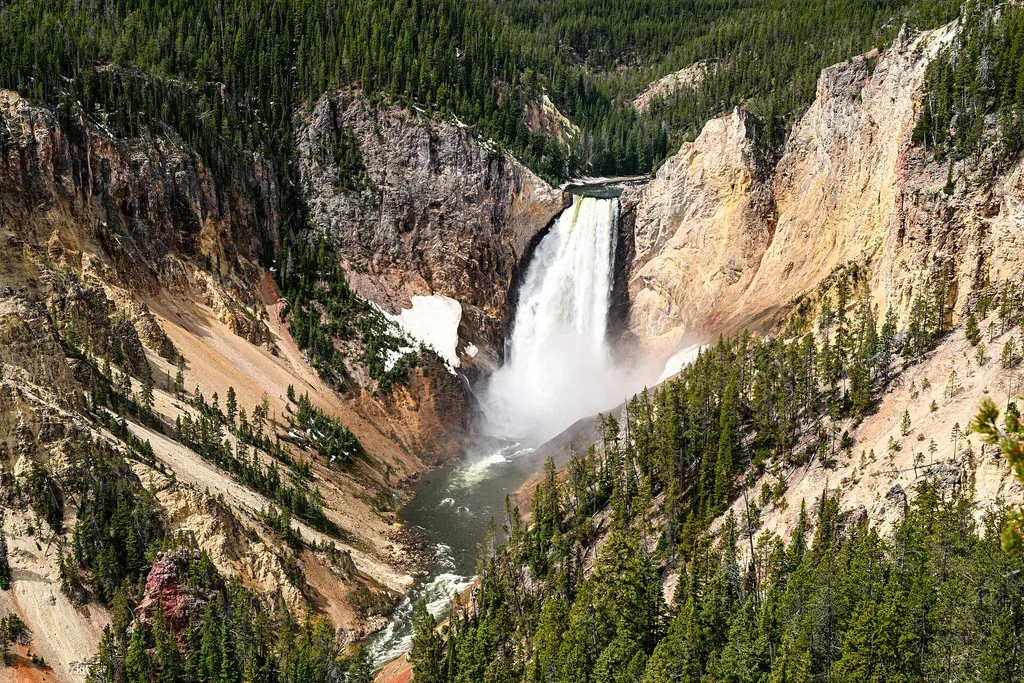
Grand Canyon of the Yellowstone - Lookout Point
~2 min drive
<p>Scientists think the oldest Grand Canyon of the Yellowstone formed in rock and sediments about 160,000 to 140,000 years ago. This canyon was not as deep, wide, or long as today’s canyon.</p> <p>Past and current hydrothermal activity altered and weakened the rhyolite, making…
North Rim Restrooms
~2 min drive
0.3 mi · Easy

Observation Peak Trail
~3 min drive
9.4 mi · Moderate

Howard Eaton Trail
~14 min drive
22 mi · Hard
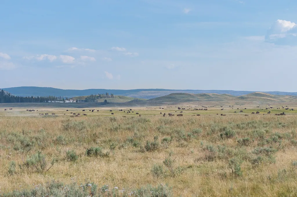
Hayden Valley at Alum Creek
~6 min drive
<p>Hayden Valley, is one of the best places in the park to view a wide variety of large mammals.</p> <p>Grizzly bears and black bears are often seen in the spring and early summer. Large herds of bison may be seen in the spring, early summer, and during the rut in August. Coyo…
Casecade Lake Trail
~3 min drive
4.3 mi · Easy

Dunraven Pass - Mount Washburn Trail
~7 min drive
7.0 mi · Moderate
Dunraven Pass
~7 min drive
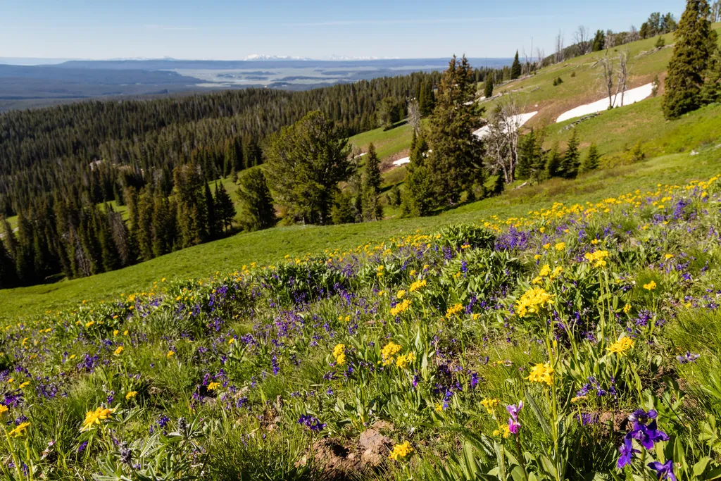
<p>Look for abundant wildflowers in high-elevation wetlands near the road in this area.</p> <p>The volcanic rocks that underlie the Absaroka Mountains are rich in calcium, magnesium, and iron. These minerals weather into soils that can store more water and provide better nutri…
Cascade Lake Trailhead (4K5)
~3 min drive
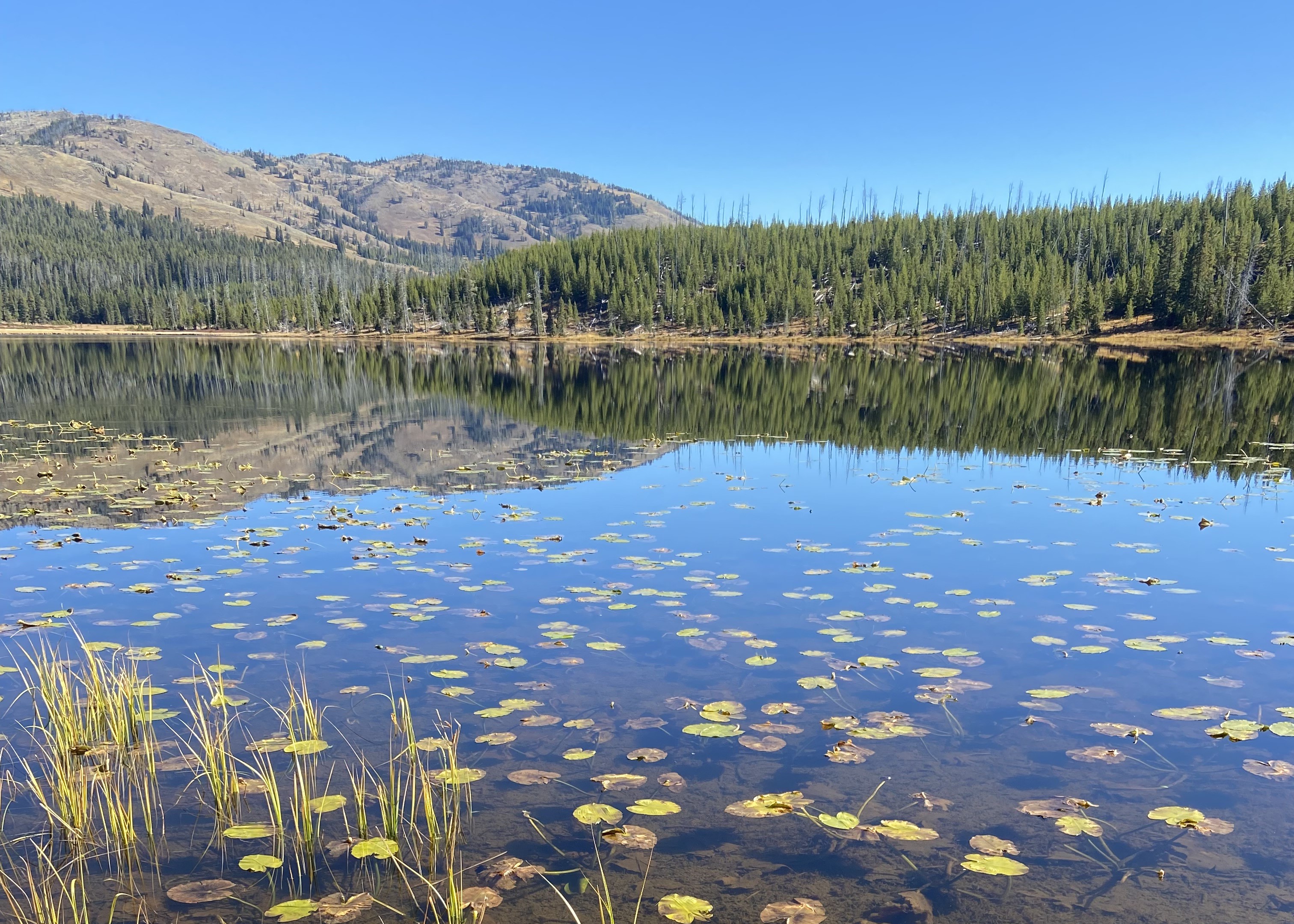
From this trailhead you can embark on the following trails: Cascade Lake Trail Observation Peak Trail There is a dedicated parking lot at this trailhead. The nearest restrooms are location to the east at the Cascade Lake Picnic Area. Cascade Lake Trail A moderate 4.4-mile…

Lost Lake
~22 min drive
6.6 mi · Moderate