Loading trail…

Free — you'll pick up right here.
Watch this trail
Sign up to watch it — saving subscribes you to gate, closure and report changes.
Wyoming
2.2 mi
Distance
131 ft
Gain
48 min
Time
No agency boundary, access route or field report is mapped to it — so there is no verdict, and we won't guess. We'll tell you the moment this trail has something to say.
Covered nearby
Trails within 25 miles where we do have a current picture.
Nobody's filed a report here yet — be the first.
Why you'll love it
Beaver Creek Porcupine
AI-suggested draft · review before you go
No permit or access details on file for this trail — check with the local land manager before you go.
Beaver Creek Porcupine is a 2.2-mile out-and-back trail located in Wyoming. This short route offers an accessible option for hikers seeking a quick excursion in the area. The out-and-back format means hikers will retrace their steps on the return journey, making the total round-trip distance 4.4 miles. The trail provides an opportunity to explore the natural landscape characteristic of Wyoming, with access to Beaver Creek. The relatively modest distance makes it suitable for hikers of varying experience levels looking for a shorter outing. The specific elevation gain for this trail has not been documented, so hikers should check locally for detailed topographic information before heading out. This trail is ideal for those with limited time or those seeking a more leisurely pace. As with any outdoor excursion, visitors are encouraged to bring adequate water, check current trail conditions, and prepare for Wyoming's variable weather. The proximity to Wyoming makes it a convenient option for both local residents and visitors to the region.

Snow-3C
~29 min drive
2.8 mi · Easy

Sundance Sheepnose Mountain
~56 min drive
4.5 mi · Moderate
Snow-B-North
~57 min drive
13 mi · Hard
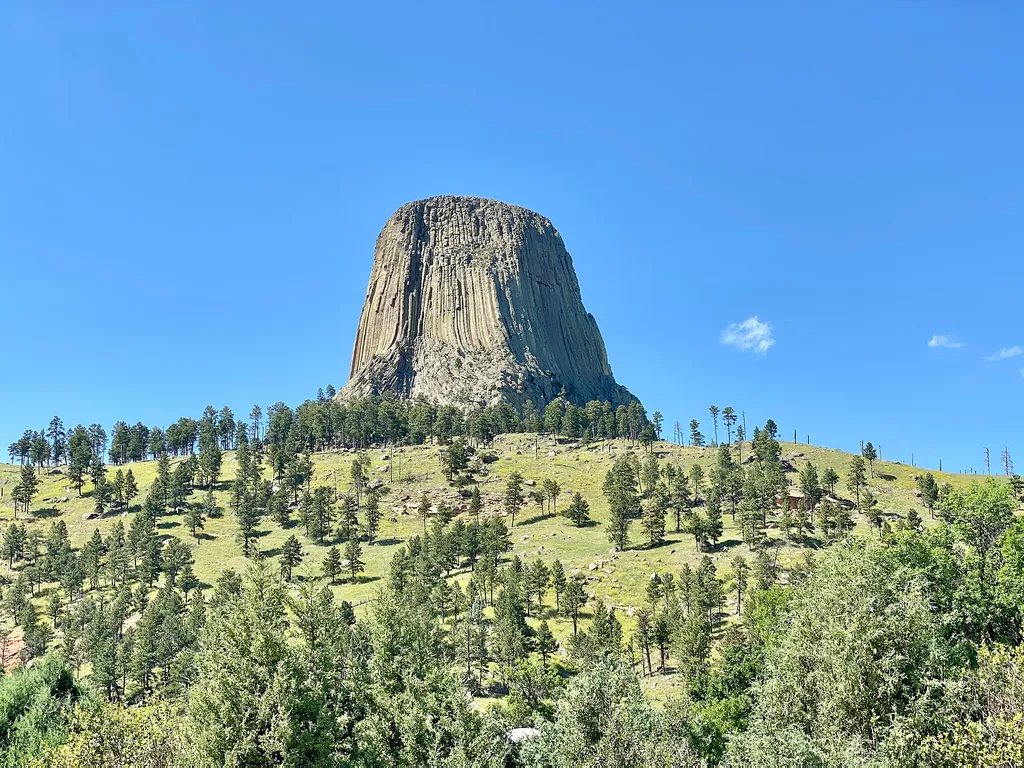
Amphitheater (Devils Tower National Monument)
~1h 19m drive
<p paraeid="{9df3681c-f9ac-4403-b29d-ccad342e45fe}{147}" paraid="1194666483">The park’s amphitheater is a great place to catch <a href="https://www.nps.gov/deto/planyourvisit/rangerledactivities.htm">ranger programs</a> (in season), have a seat, or <a href="https://www.nps.gov…

South Side Trail
~1h 19m drive
0.9 mi · Easy

Snow-F1
~58 min drive
5.0 mi · Moderate
Snow-K
~57 min drive
9.6 mi · Hard
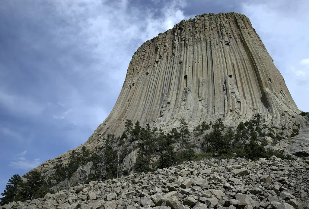
Devils Tower Boulder Field
~1h 20m drive
<p paraeid="{fc5c9f79-92b8-441a-94e1-4cf376bcbde1}{173}" paraid="827932320">As the first stop on the Tower Trail, the boulder field is the first close-up impression you get of Devils Tower. From the trail, the Tower appears perched atop this giant pile of boulders. Cracks in t…
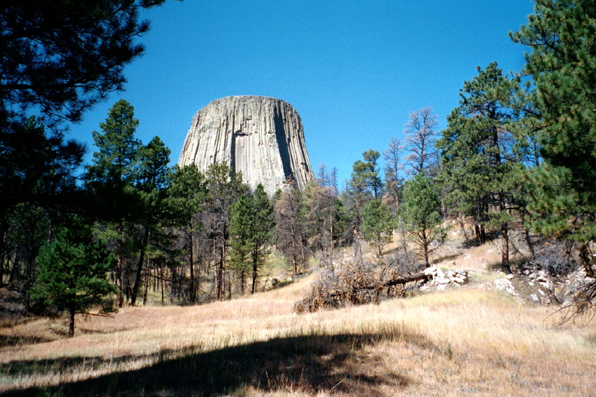
Valley View Trail
~1h 19m drive
1.1 mi · Easy
Snow-3A
~25 min drive
3.6 mi · Moderate