Loading trail…

Free — you'll pick up right here.
Watch this trail
Sign up to watch it — saving subscribes you to gate, closure and report changes.
West Virginia
3.0 mi
Distance
525 ft
Gain
1h 17m
Time
We won't guess. Here is exactly what we do and don't know.
What we do know
Inside New River Gorge National Park and Preserve
National Park unit boundary is mapped — agency alerts for it feed this page automatically.
Boundary data
What's missing
No access route mapped
We don't yet know which road reaches this trailhead, so we can't tell you if it's gated.
Nobody's filed a report here yet — be the first.
Why you'll love it
Polls Plateau Trail
AI-suggested draft · review before you go
No permit or access details on file for this trail — check with the local land manager before you go.
<p>Labeled (4) on the Glade Creek Trails map</p> <h4><strong>Length</strong></h4> <p>4.9 miles/7.89 km (round trip)</p> <h4><strong>Difficulty</strong></h4> <p>Moderate</p> <h4><strong>Trail type</strong></h4> <p>Hiking only</p> <h4>Trail Description</h4> <p>Cross several creeks on this 4.9 mile trail that passes through an upland forest and past an old farmstead. Some of the trail follows an old roadbed; the route may not always be obvious due to drainages and other old roadbeds.</p> <h4><span style="color:#e74c3c;">Note</span></h4> <p><span style="color:#e74c3c;">The access from the south and Glade Creek to the junction via the Kates Plateau Trail is currently closed due to a slide.</span></p> <h4><b>To reach trailhead</b></h4> <p>Take I-64 to exit 133 (Bragg). Exit the highway and head north for 0.8 miles, following the main road. Turn left at a church onto Polls Branch Road. Follow that to the parking area at the end of the road.</p>
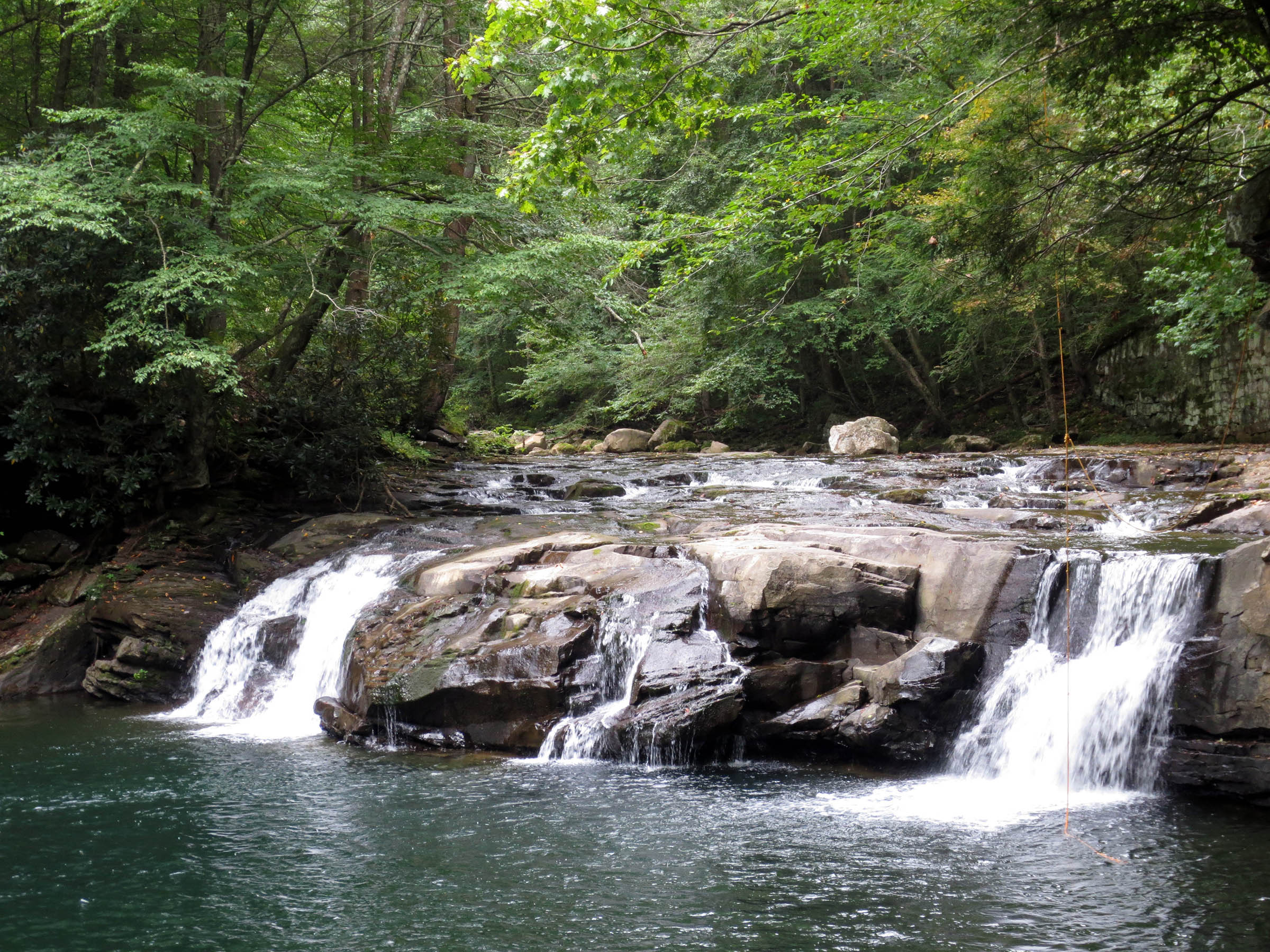
Glade Creek Trail
~5 min drive
<p>Labeled (1) on the Glade Creek Trails map</p> <h4><strong>Length</strong></h4> <p>5.6 miles/9.01 km (One-way)</p> <h4><strong>Difficulty</strong></h4> <p>Moderate</p> <h4><strong>Trail type</strong></h4> <p>Hiking and biking</p> <h4><br /> Trail Description</h4> <p>This 5.6…
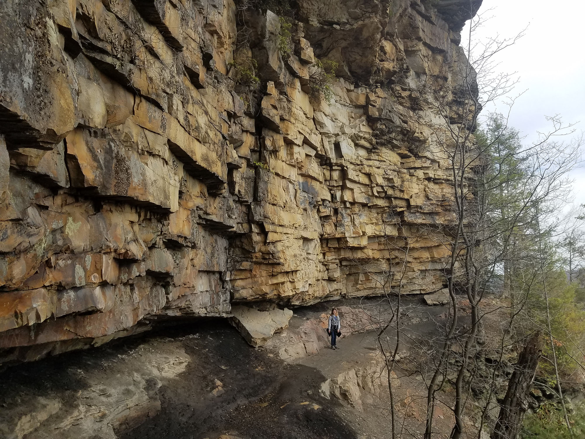
Castle Rock Trail
~8 min drive
<p>Labeled (4) on the Grandview Area Trails map</p> <h4><strong>Length</strong></h4> <p>0.6 miles/0.97 km (One-way)</p> <h4><strong>Difficulty</strong></h4> <p>Strenuous</p> <h4><strong>Trail type</strong></h4> <p>Hiking only</p> <h4>Trail Description</h4> <p>This strenuous 0.…
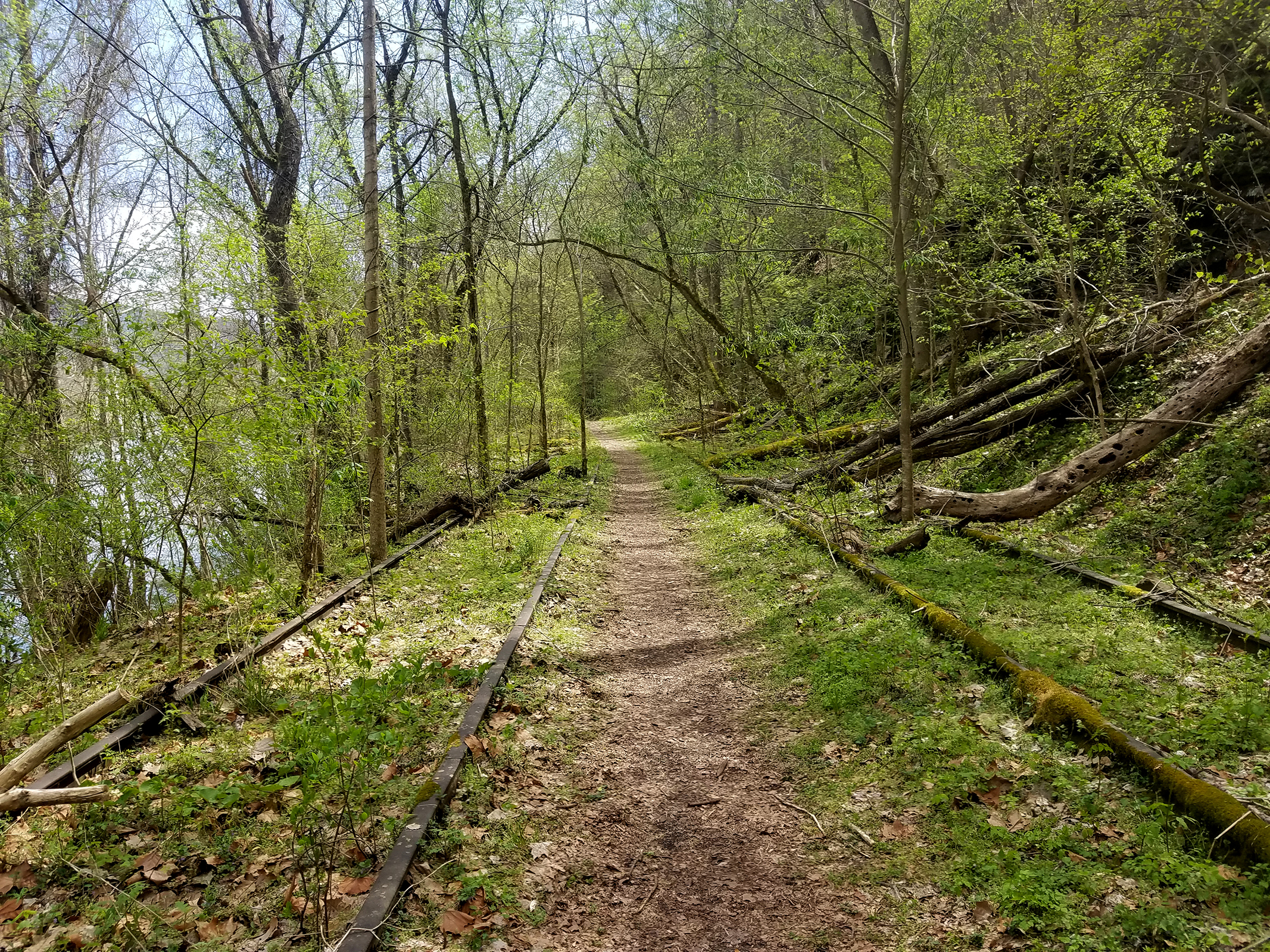
Southside Trail
~24 min drive
<p><em>Labeled (2) on the Cunard, Thurmond and Stone Cliff Area Trails map</em></p> <h4>Length</h4> <p>7.0 miles/11.27 km (One-way)</p> <h4>Difficulty</h4> <p>Easy</p> <h4>Trail type</h4> <p>Hiking and biking</p> <h4>Trail Description</h4> <p>This easy seven mile riverside tra…
Kate's Plateau Trail
~5 min drive
Point-to-point plateau hike with scenic views across West Virginia highlands.
Glade Creek Trail
~5 min drive
Scenic 5.45-mile point-to-point creek valley hike in West Virginia.
Grandview Walkways
~8 min drive
Easy 0.43-mile out-and-back walk through Grandview area.
Deer Trail
~8 min drive
A short point-to-point woodland walk in West Virginia.
Weaver Way Trail
~8 min drive
Easy 1.41-mile point-to-point trail perfect for a quick West Virginia nature walk.
Railroad Grade Trail
~8 min drive
Easy 1.86-mile point-to-point hike along a historic railroad grade.
Billy Goat's Gruff Trail
~8 min drive
Quick point-to-point trail perfect for a short West Virginia hike.