Loading trail…

Free — you'll pick up right here.
Watch this trail
Sign up to watch it — saving subscribes you to gate, closure and report changes.
Utah
30.8 mi
Distance
3,233 ft
Gain
11h 53m
Time
We won't guess. Here is exactly what we do and don't know.
What we do know
Inside Ashley National Forest
2 managing-area boundaries mapped — agency alerts for them feed this page automatically.
Boundary data
What's missing
No access route mapped
We don't yet know which road reaches this trailhead, so we can't tell you if it's gated.
Nobody's filed a report here yet — be the first.
Why you'll love it
Yellowstone
AI-suggested draft · review before you go
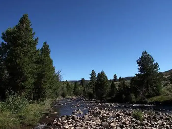
The Yellowstone trail is a challenging backcountry route that traverses nearly 31 miles through diverse terrain in Utah's Yellowstone region. This extended journey gains over 3,200 feet of elevation, offering hikers a remote wilderness experience with varied landscapes. The distance and elevation gain make this a serious undertaking best suited for experienced backpackers.
Swift Creek
~0 min drive
Challenging 15.73-mile creek drainage hike with 2,981 ft elevation gain.
Petty Mountain Loop
~8 min drive
Short, scenic loop with gentle elevation gain near Petty Mountain.
Lowline
~10 min drive
Moderate 5.2-mile trail with 1,452 ft gain near Lowline, Utah.
Dome Peak Cutoff Trail
~22 min drive
Easy 1.48-mile connector trail with modest elevation gain near Dome Peak.
Lily Pad A
~10 min drive
Easy 2.62-mile wetland trail with 506 ft gain near Lily Pad A.
Farmers Lake
~9 min drive
Easy alpine lake hike with 537 ft gain near Farmers Lake, Utah.
Chain Lakes-Atwood
~16 min drive
Moderate alpine trail to scenic mountain lakes with steady elevation gain.
East Fork Blacks Fork Trail
~32 min drive
Easy 2.8-mile forest hike along East Fork creek with modest elevation gain.
Five Point Lake
~13 min drive
Moderate 7.77-mile alpine lake hike with 1,982 ft elevation gain.
Center Park
~10 min drive
Easy 1.31-mile loop with minimal elevation gain in Center Park.