Loading trail…

Free — you'll pick up right here.
Watch this trail
Sign up to watch it — saving subscribes you to gate, closure and report changes.
Utah
5.2 mi
Distance
1,452 ft
Gain
2h 28m
Time
We won't guess. Here is exactly what we do and don't know.
What we do know
Inside Ashley National Forest
2 managing-area boundaries mapped — agency alerts for them feed this page automatically.
Boundary data
What's missing
No access route mapped
We don't yet know which road reaches this trailhead, so we can't tell you if it's gated.
Nobody's filed a report here yet — be the first.
Why you'll love it
Lowline
AI-suggested draft · review before you go
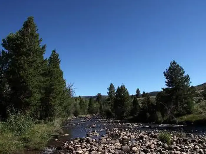
Lowline is a moderate 5.2-mile trail offering a solid day hike with nearly 1,500 feet of elevation gain through Utah's scenic terrain. This trail provides good views and steady climbing, making it ideal for hikers looking to build endurance without committing to a full-day adventure. The route showcases typical Utah landscape with varied terrain and rewarding vistas.
Lily Pad A
~4 min drive
Easy 2.62-mile wetland trail with 506 ft gain near Lily Pad A.
Chain Lakes-Atwood
~11 min drive
Moderate alpine trail to scenic mountain lakes with steady elevation gain.
Farmers Lake
~16 min drive
Easy alpine lake hike with 537 ft gain near Farmers Lake, Utah.
Dome Peak Cutoff Trail
~27 min drive
Easy 1.48-mile connector trail with modest elevation gain near Dome Peak.
Yellowstone
~10 min drive
A challenging 30.78-mile backcountry trek with 3,233 ft elevation gain.
West Fork Whiterocks
~25 min drive
Gentle creek-side canyon hike in the Uinta Mountains with scenic alpine views.
Petty Mountain Loop
~17 min drive
Short, scenic loop with gentle elevation gain near Petty Mountain.
Uinta Highline Trail
~31 min drive
High-altitude Uinta Mountains traverse with alpine meadows and mountain vistas.
Swift Creek
~10 min drive
Challenging 15.73-mile creek drainage hike with 2,981 ft elevation gain.
Smith Fork Pass
~26 min drive
Accessible mountain pass hike with steady elevation gain and scenic views.