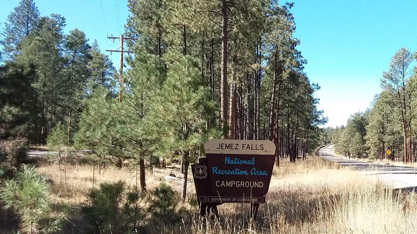
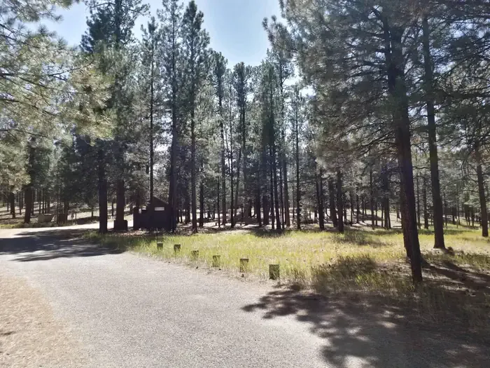
Loading trail…

Saddle Shed
Free — you'll pick up right here.
Watch this trail
Sign up to watch it — saving subscribes you to gate, closure and report changes.
New Mexico
We won't guess. Here is exactly what we do and don't know.
What we do know
Inside Valles Caldera National Preserve
National Park unit boundary is mapped — agency alerts for it feed this page automatically.
Boundary data
What's missing
No access route mapped
We don't yet know which road reaches this trailhead, so we can't tell you if it's gated.
Nobody's filed a report here yet — be the first.
Saddle Shed
AI-suggested draft · review before you go
No elevation data on file for this trail.
No permit or access details on file for this trail — check with the local land manager before you go.
The saddle shed, also known as the tack shed, was built in 1963 to serve ranch operations. Ranch hands started their days here, grooming their horses and saddling up before sunrise. They would ride up to 20 miles a day, checking on livestock, inspecting fences, and tending to other chores throughout the 100,000-acre property.<br /> <br /> <em>La guadarnés, también conocida como guadarnés, se construyó en 1963 para dar servicio a las operaciones del rancho. Los trabajadores del rancho empezaban aquí su jornada, acicalando a sus caballos y ensillándolos antes del amanecer. Recorrían hasta 30 km al día, controlando el ganado, inspeccionando las vallas y ocupándose de otras tareas en las 100.000 hectáreas de la propiedad.</em>
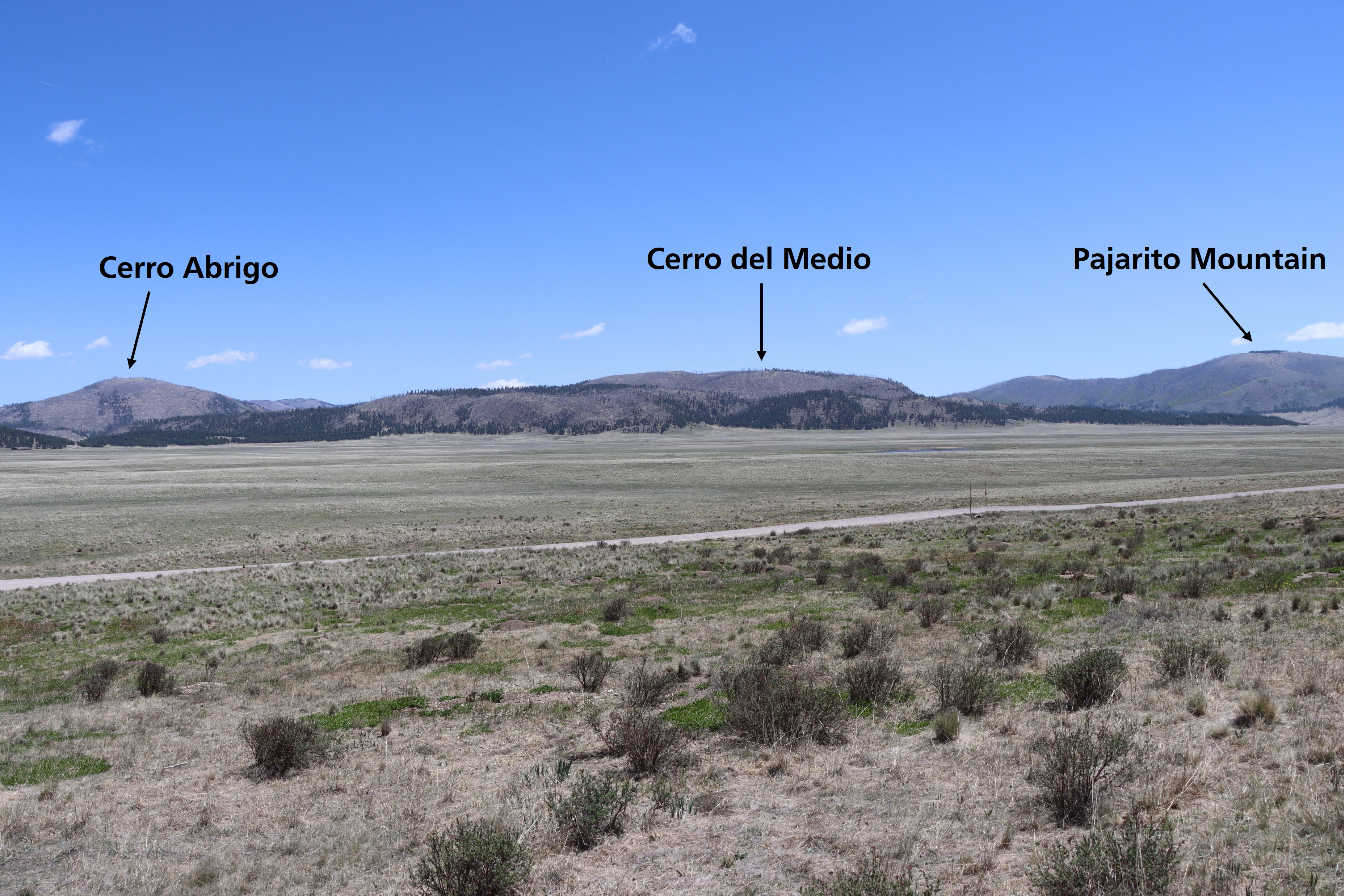
Cerro La Jara Stop 7
~2 min drive
Look northward across the road. The broad valley is Valle Grande. A lake filled this valley several times in the past. If the lighting is right, you will be able to see low, flat lying ridges at the base of the mountains in the distance. These ridges are sediments that were de…
North East Fork
~5 min drive
Easy 1.14-mile walk with minimal elevation gain near North East Fork.
Alamo Spring
~9 min drive
Moderate 10.51-mile high desert trail to Alamo Spring with gentle elevation gain.
Cerro Pelado
~10 min drive
Moderate 3.79-mile summit hike with 780 ft gain and scenic ridgeline views.
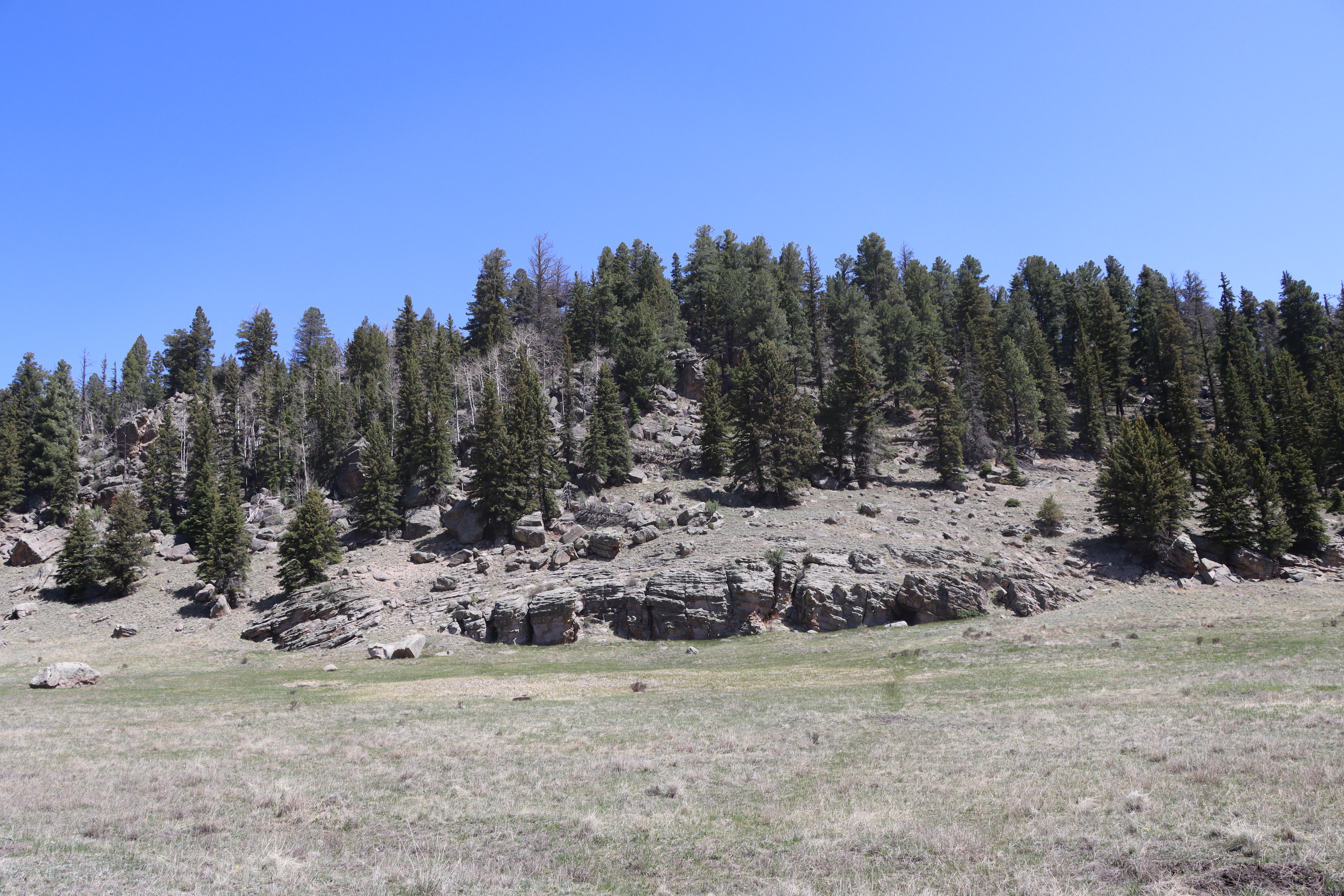
Cerro La Jara Stop 6
~2 min drive
So far, you have learned that about 1.2 million years ago, a giant volcanic eruption occurred and created Valles Caldera when the roof of the empty magma chamber collapsed. The material that was erupted (called the Bandelier Tuff) was deposited inside the new hole in the groun…
Peralta Canyon
~11 min drive
Moderate 10.5-mile canyon hike with 1,710 ft elevation gain in the Sandias.
Pajarito Nordic
~13 min drive
Accessible high-altitude loop through Pajarito Plateau forests and meadows.
Cerro La Jara Stop 8
~2 min drive
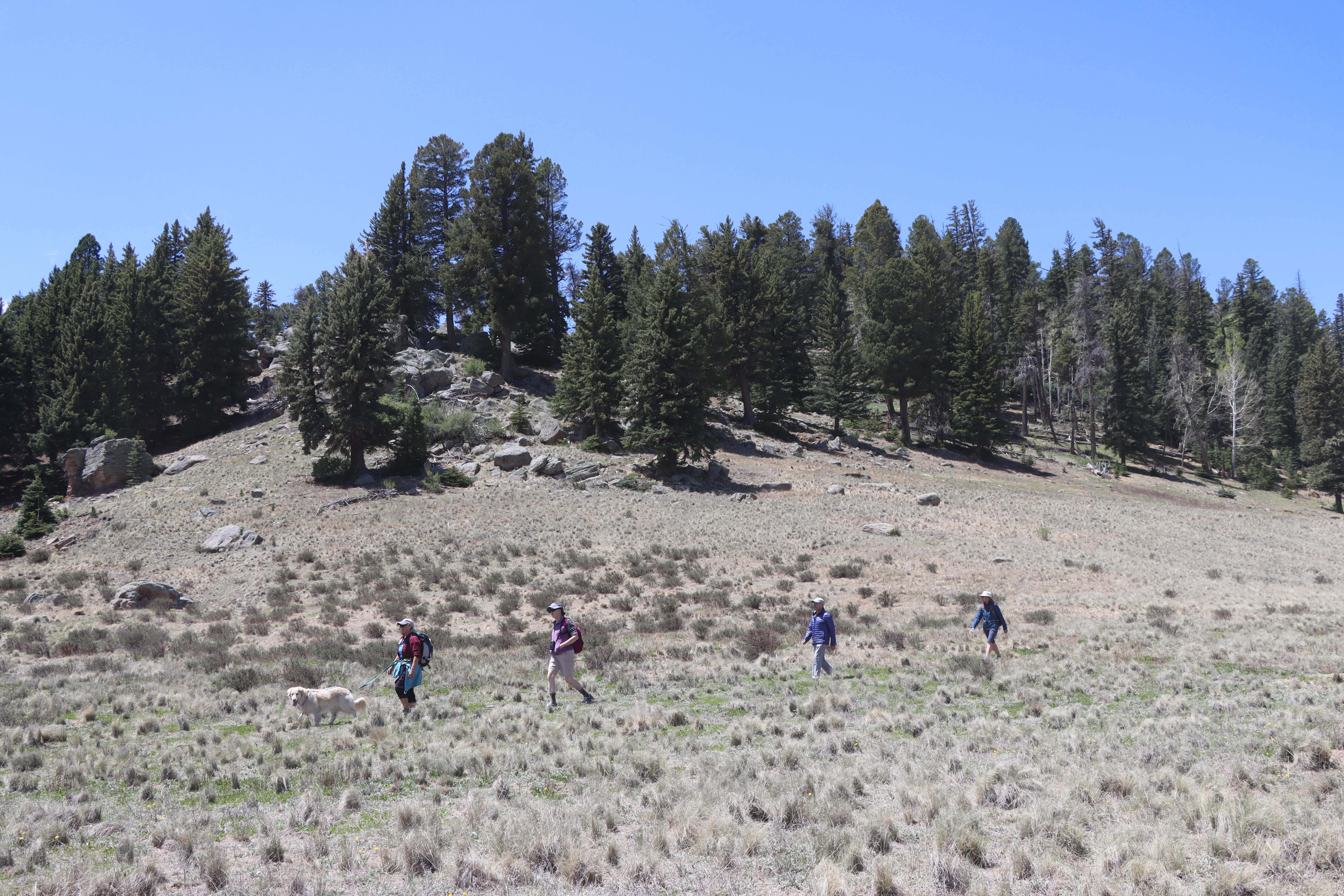
Did you notice that prairie dogs make this area their home? They like to make chirping noises to warn each other of people in the area, so they are difficult to miss! What they are also doing is trying to make future trace fossils. A trace fossil is a record of life that isn’t…
Bearhead Ridge
~11 min drive
Moderate 7-mile ridgeline hike with 1,342 ft elevation gain and panoramic views.
Cerro La Jara Stop 5
~3 min drive
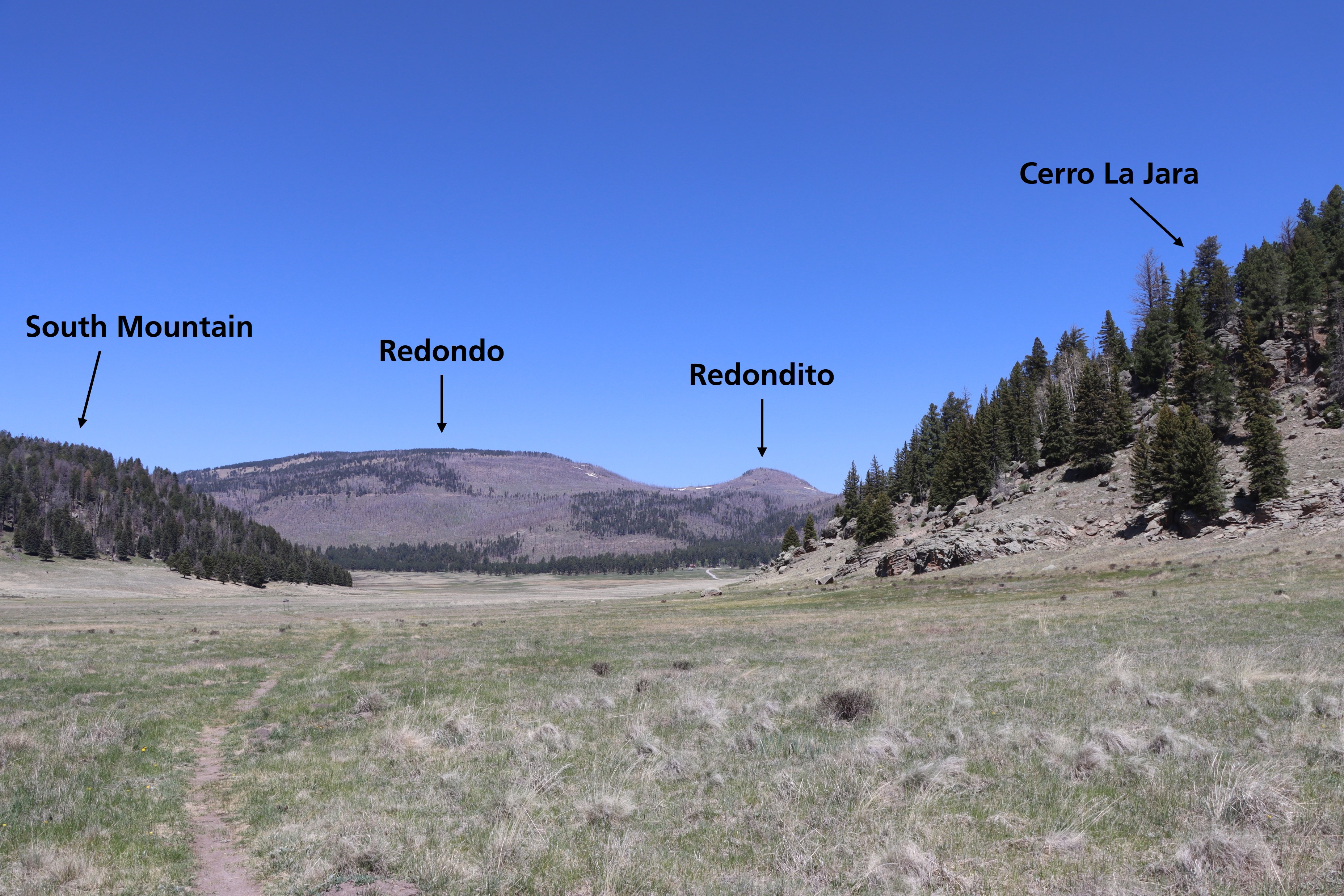
The large mountain in the distance directly ahead of you is Redondo Peak. The smaller peak just to the right is Redondito. These mountains are part of a resurgent dome in the center of Valles Caldera. A resurgent dome is different than a volcanic dome; it wasn’t extruded as la…