
Turquoise Trail Campground
Hiking business nearby (~49 mi away) — hasn't claimed their Roamze page yet
Cerro La Jara Stop 5
Free — you'll pick up right here.
Watch this trail
Sign up to watch it — saving subscribes you to gate, closure and report changes.
New Mexico
We won't guess. Here is exactly what we do and don't know.
What we do know
Inside Valles Caldera National Preserve
National Park unit boundary is mapped — agency alerts for it feed this page automatically.
Boundary data
What's missing
No access route mapped
We don't yet know which road reaches this trailhead, so we can't tell you if it's gated.
Nobody's filed a report here yet — be the first.
Cerro La Jara Stop 5
AI-suggested draft · review before you go
No elevation data on file for this trail.
No permit or access details on file for this trail — check with the local land manager before you go.
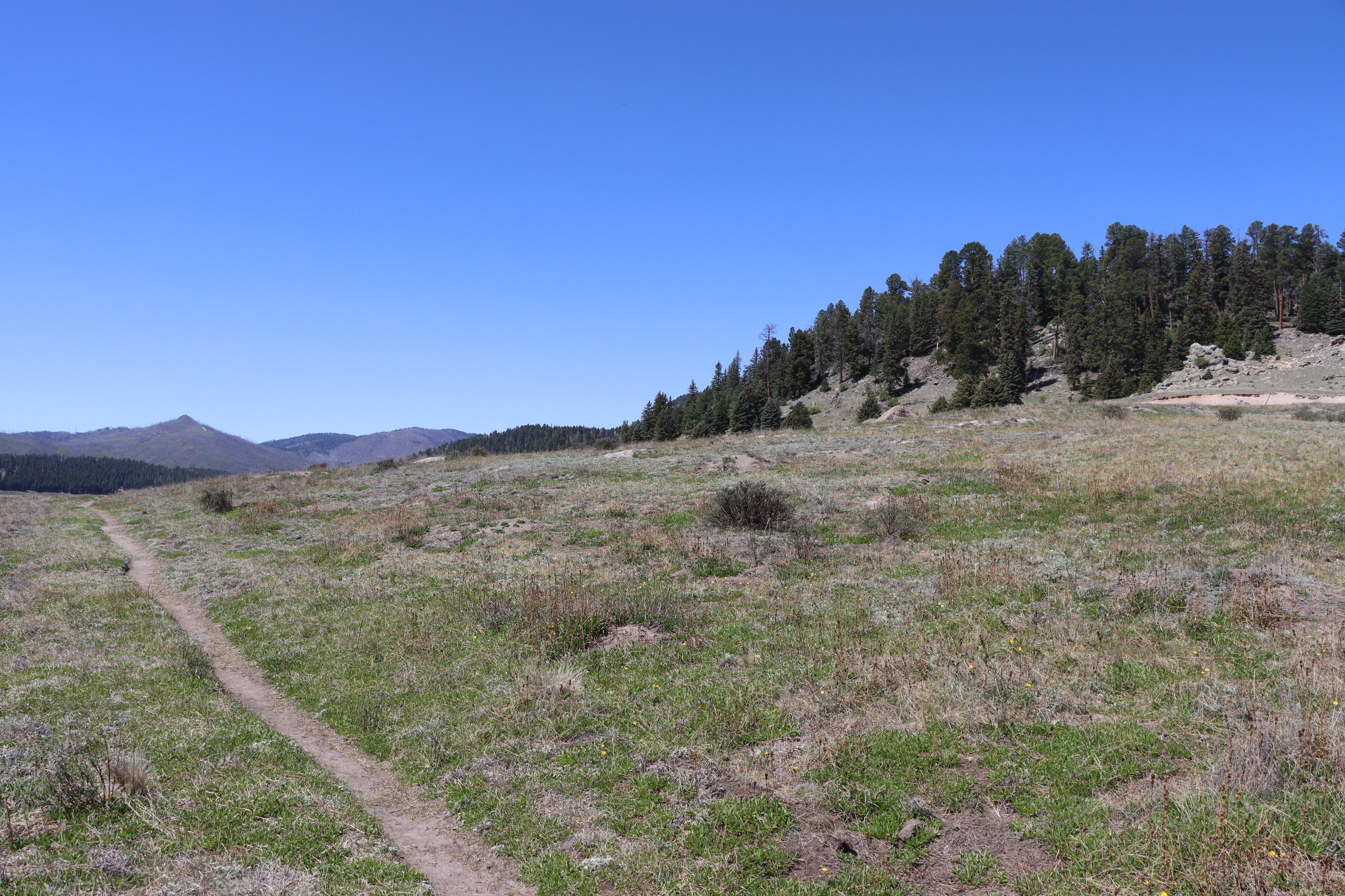
The large mountain in the distance directly ahead of you is Redondo Peak. The smaller peak just to the right is Redondito. These mountains are part of a resurgent dome in the center of Valles Caldera. A resurgent dome is different than a volcanic dome; it wasn’t extruded as lava. The resurgent dome was created as magma pushed part of the newly-formed valley up from underneath. To understand this better, think of how the upper crust of an apple pie is lifted by the bubbling apples underneath it – the magma pushed the valley floor up, like the hot apples push up the upper pie crust. In some areas of Redondo Peak, small amounts of magma did break through, but in general the valley floor was lifted to create the topography. Remember that the valley floor was filled with the material the volcano erupted, so Redondo Peak is made of the valley floor material - the Bandelier Tuff. It took about 30,000 years for Redondo Peak to rise, very fast in a geologic time frame.<br /> <br /> Remember the circular ring fracture that caused surface rocks to fall into an empty magma chamber, forming the caldera? A small section of the Valles ring fracture zone is right under you here. You can’t actually see it, but geologists and geophysicists discovered that it is there beneath the surface because of small changes in gravity and the way seismic waves travel through the rocks. There is another ring fracture under you as well – the Toledo ring fracture. The Toledo eruption was similar to the Valles eruption except that it occurred earlier – about 1.6 million years ago. We don’t know as much about the Toledo eruption because Toledo geology was partly destroyed by the Valles eruption.<br /> <br /> Continue along the path to Stop 6, which is beyond the sign for the Missing Cabin.<br /> <br /> <br /> <meta charset="utf-8" /> <p dir="ltr"><em><b id="docs-internal-guid-e5924300-7fff-76db-32b3-ca10dc5785a7">La gran montaña que se ve a lo lejos, justo delante, es el pico Redondo. El pico más pequeño, justo a la derecha, es el Redondito. Estas montañas forman parte de un domo resurgente en el centro de Valles Caldera. Un domo resurgente es diferente a un domo volcánico, ya que no se formó por la extrusión de lava. El domo resurgente se creó cuando el magma empujó parte del valle recién formado desde abajo. Para entenderlo mejor, piensa en cómo la corteza superior de una tarta de manzana se eleva por las manzanas burbujeantes que hay debajo: el magma empujó el suelo del valle hacia arriba, como las manzanas calientes empujan la corteza superior de la tarta. </b></em></p> <p dir="ltr"><em><b id="docs-internal-guid-e5924300-7fff-76db-32b3-ca10dc5785a7">En algunas zonas del pico Redondo, pequeñas cantidades de magma lograron atravesar la superficie, pero en general el suelo del valle se elevó para crear la topografía. Recuerde que el fondo del valle se llenó con el material que expulsó el volcán, por lo que el pico Redondo está formado por el material: toba de Bandelier. El pico Redondo tardó unos 30.000 años en elevarse, lo que es muy rápido en términos geológicos.</b></em></p> <p dir="ltr"><em><b id="docs-internal-guid-e5924300-7fff-76db-32b3-ca10dc5785a7">¿Recuerdas la fractura circular que provocó la, formacion de la caldera? Una pequeña sección de la zona de fractura circular de Valles se encuentra justo debajo de ti. En realidad no se puede ver, pero los geólogos y geofísicos descubrieron que está ahí, bajo la superficie, debido a pequeños cambios en la gravedad y a la forma en que las ondas sísmicas viajan a través de las rocas. </b></em></p> <p dir="ltr"><em><b id="docs-internal-guid-e5924300-7fff-76db-32b3-ca10dc5785a7">Tambien, hay otra fractura circular debajo de ti: la fractura circular de Toledo. La erupción de Toledo fue similar a la de Valles, excepto que ocurrió antes, hace aproximadamente 1.6 millones de años. No sabemos mucho sobre la erupción de Toledo porque la geología de Toledo fue parcialmente destruida por la erupción de Valles.</b></em></p> <p dir="ltr"><em><b id="docs-internal-guid-e5924300-7fff-76db-32b3-ca10dc5785a7">Continúe por el sendero hasta la parada 6, que se encuentra más allá del letrero que indica la cabaña desaparecida.</b></em></p>
Cerro La Jara Stop 4
~0 min drive
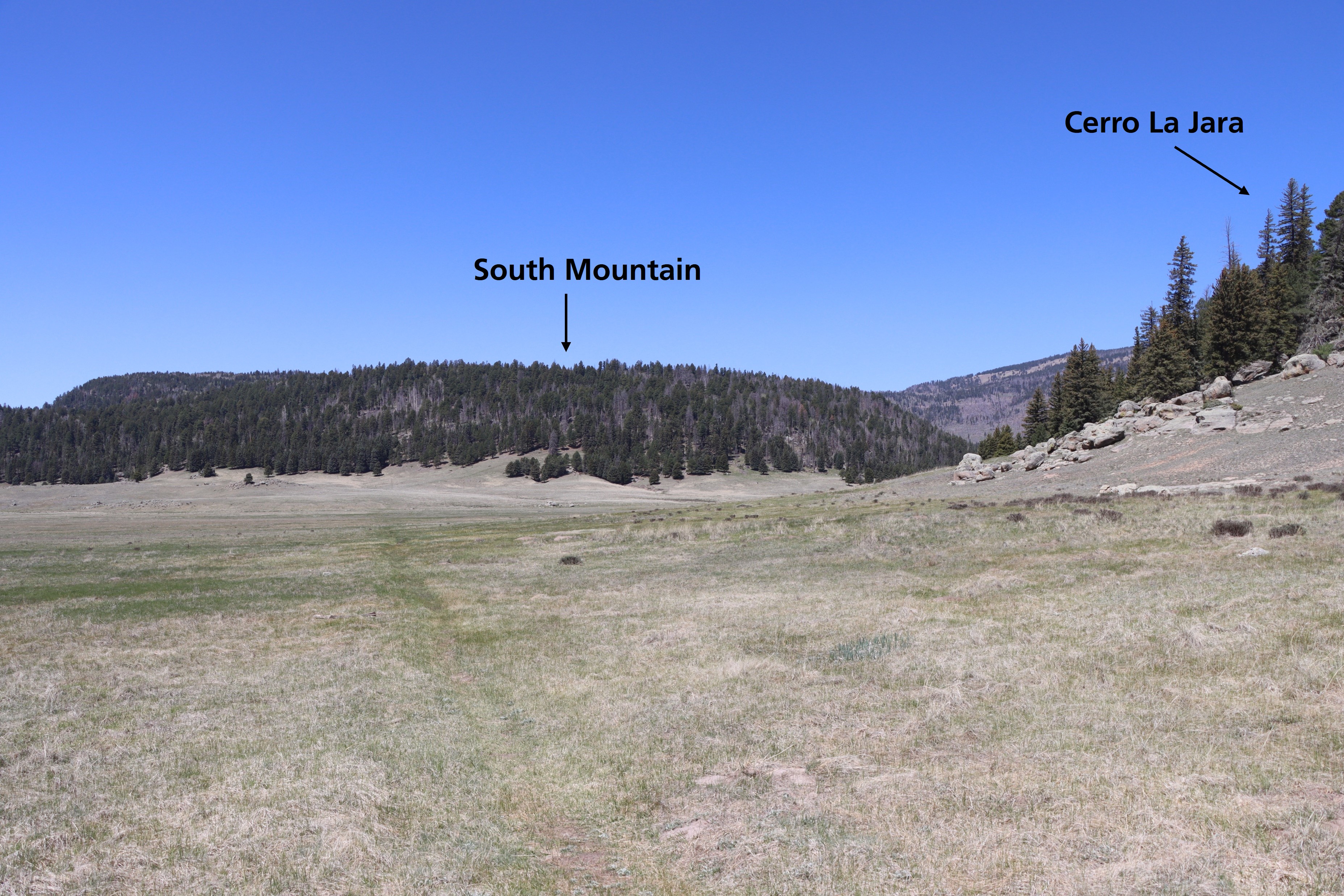
Look straight down the path. Cerro La Jara is to your right and South Mountain is directly in front of you. Both of these formations are volcanic domes. Volcanic domes are formed by the extrusion of lava that piles up in a dome shape. Cerro La Jara and South Mountain were form…
North East Fork
~4 min drive
Easy 1.14-mile walk with minimal elevation gain near North East Fork.
Alamo Spring
~7 min drive
Moderate 10.51-mile high desert trail to Alamo Spring with gentle elevation gain.
Cerro Pelado
~10 min drive
Moderate 3.79-mile summit hike with 780 ft gain and scenic ridgeline views.
Cerro La Jara Stop 6
~0 min drive
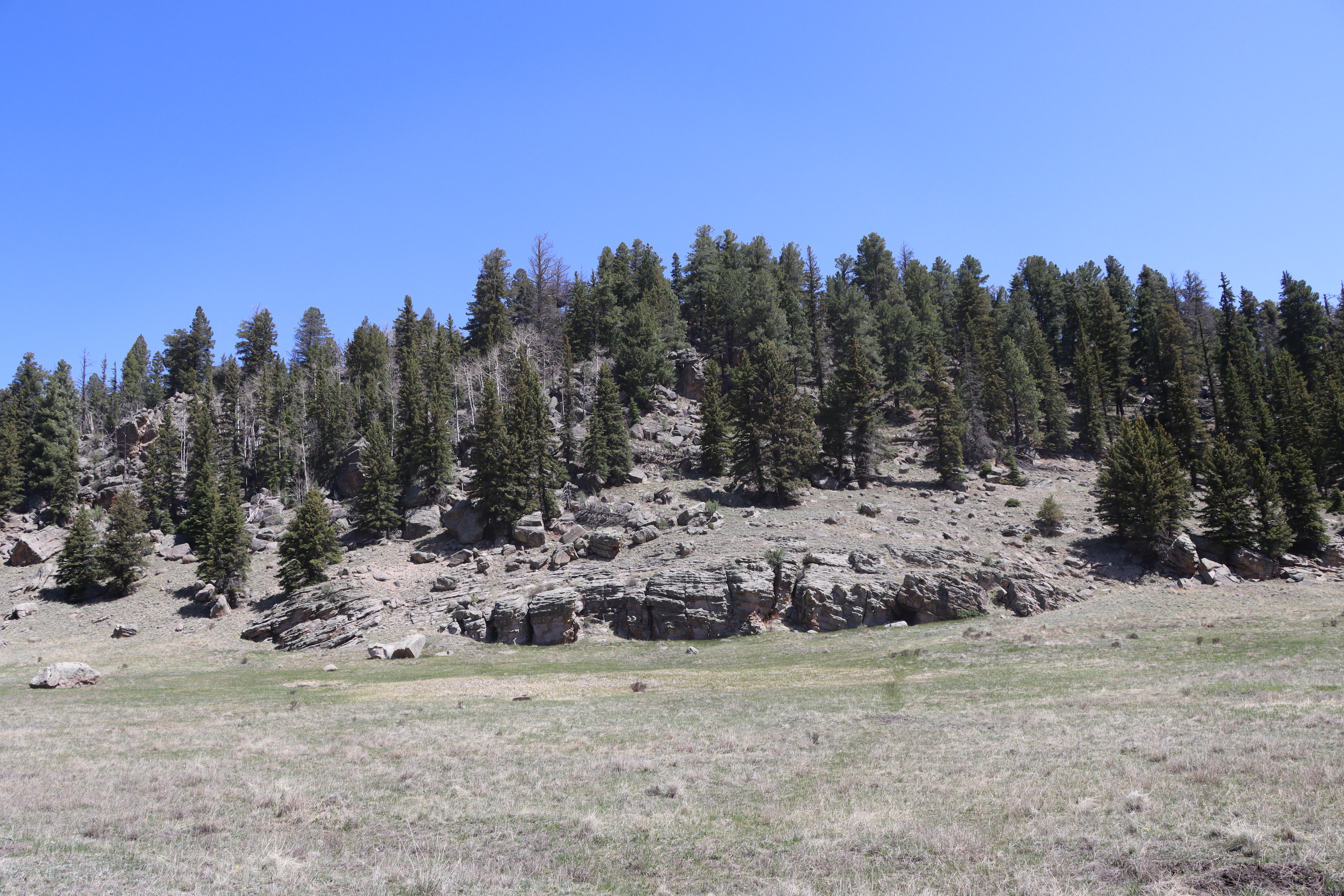
So far, you have learned that about 1.2 million years ago, a giant volcanic eruption occurred and created Valles Caldera when the roof of the empty magma chamber collapsed. The material that was erupted (called the Bandelier Tuff) was deposited inside the new hole in the groun…
Bearhead Ridge
~10 min drive
Moderate 7-mile ridgeline hike with 1,342 ft elevation gain and panoramic views.
Pajarito Nordic
~12 min drive
Accessible high-altitude loop through Pajarito Plateau forests and meadows.
Cerro La Jara Stop 2
~1 min drive
<p>As you walked, you probably noticed that you are walking in a large valley and there are rounded hills or mountains in the distance, behind you, and to your right. You are walking in a volcanic caldera – a depression formed during a volcanic eruption. This caldera was forme…
Peralta Canyon
~10 min drive
Moderate 10.5-mile canyon hike with 1,710 ft elevation gain in the Sandias.
Water Canyon
~13 min drive
Moderate canyon hike with steady elevation gain and scenic desert views.
Local operatorsoffering guided trips. You book directly with them — Roamze doesn’t take a cut.
Turquoise Trail Campground
Hiking business nearby (~49 mi away) — hasn't claimed their Roamze page yet