
Turquoise Trail Campground
Hiking business nearby (~49 mi away) — hasn't claimed their Roamze page yet
Cerro La Jara Stop 4
Free — you'll pick up right here.
Watch this trail
Sign up to watch it — saving subscribes you to gate, closure and report changes.
New Mexico
We won't guess. Here is exactly what we do and don't know.
What we do know
Inside Valles Caldera National Preserve
National Park unit boundary is mapped — agency alerts for it feed this page automatically.
Boundary data
What's missing
No access route mapped
We don't yet know which road reaches this trailhead, so we can't tell you if it's gated.
Nobody's filed a report here yet — be the first.
Cerro La Jara Stop 4
AI-suggested draft · review before you go
No elevation data on file for this trail.
No permit or access details on file for this trail — check with the local land manager before you go.
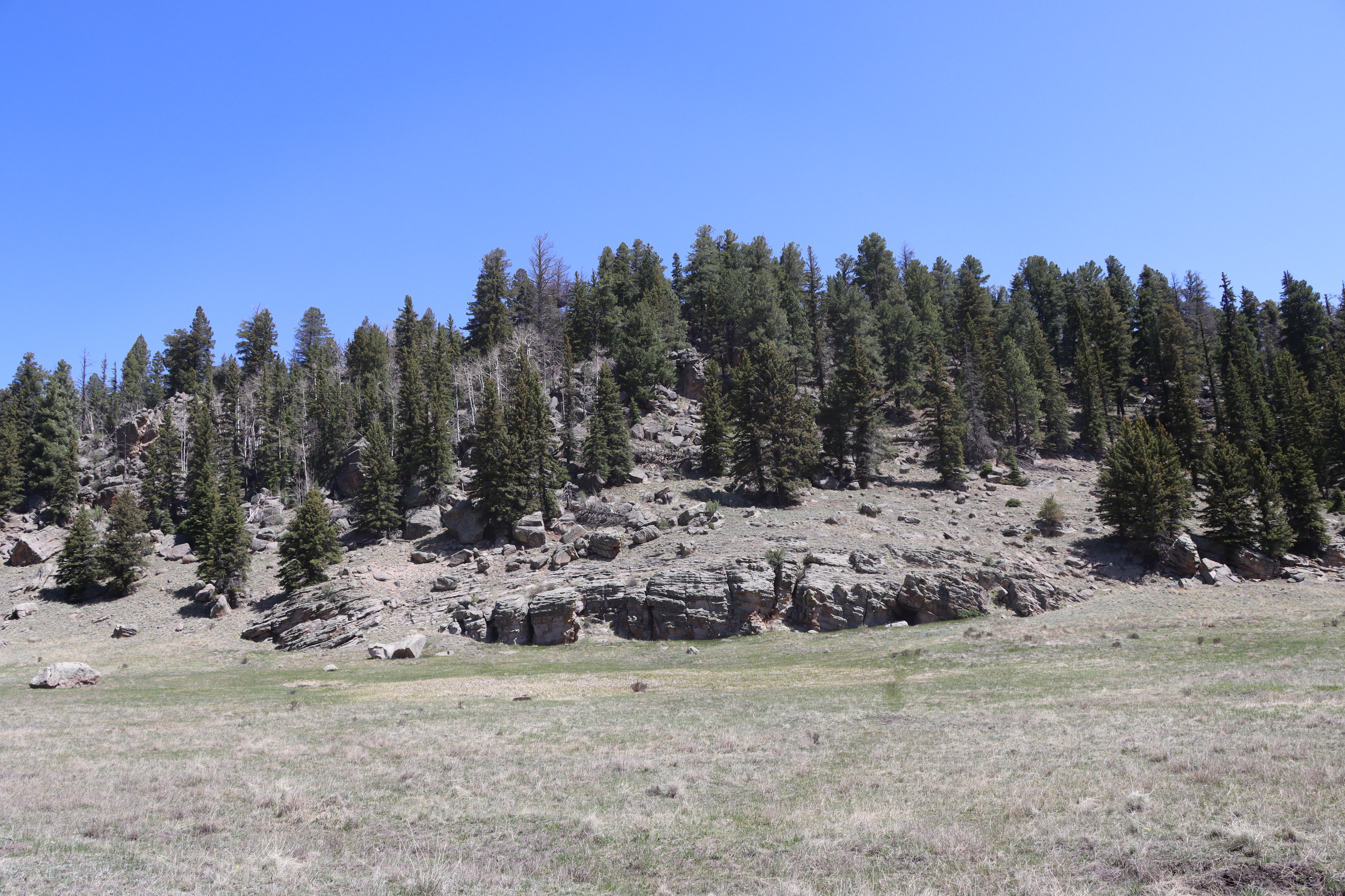
Look straight down the path. Cerro La Jara is to your right and South Mountain is directly in front of you. Both of these formations are volcanic domes. Volcanic domes are formed by the extrusion of lava that piles up in a dome shape. Cerro La Jara and South Mountain were formed about 700,000 years after the eruption that formed Valles Caldera. They are both made of a rock called rhyolite. Rhyolite lava has a lot of silica in it – which makes it thick and resistant to flow. This property helps form the steep-sided domes you see here and in other areas of the preserve.<br /> <br /> There is a boulder to your left that will be visible if it is warm and there isn’t deep snow covering it. It is covered with lichen and is gradually eroding away. It seems to be sitting in a depression or indentation. How might this have happened? We don’t have a perfect explanation, but it is interesting to think about.<br /> <br /> <br /> <meta charset="utf-8" /> <p dir="ltr"><em><b id="docs-internal-guid-21bca86d-7fff-62cc-5488-00be9f91612a">Mira directamente hacia el camino. El Cerro La Jara está a tu derecha y South Mountain está justo frente a ti. Ambas formaciones son domos volcánicos. Los domos volcánicos se forman por la extrusión de lava que se acumula en forma de domo. El Cerro La Jara y South Mountain se formaron unos 700.000 años después de la erupción que dio origen a Valles Caldera. Ambos están compuestos por una roca llamada riolita. La lava riolítica contiene una gran cantidad de sílice, lo que la hace espesa y resistente al flujo. Esta propiedad contribuye a la formación de los domos de laderas empinadas que se observan aquí y en otras zonas de la reserva.</b></em></p> <p dir="ltr"><em><b id="docs-internal-guid-21bca86d-7fff-62cc-5488-00be9f91612a">A su izquierda hay una roca que será visible si hace calor y no hay nieve profunda que la cubra. Está cubierta de líquenes y se está erosionando gradualmente. Parece estar situada en una depresión o hendidura. ¿Cómo pudo haber sucedido esto? </b></em></p> <p dir="ltr"><em><b id="docs-internal-guid-21bca86d-7fff-62cc-5488-00be9f91612a">No tenemos una explicación perfecta, pero es interesante pensar en ello.</b></em></p>
Cerro La Jara Stop 5
~0 min drive
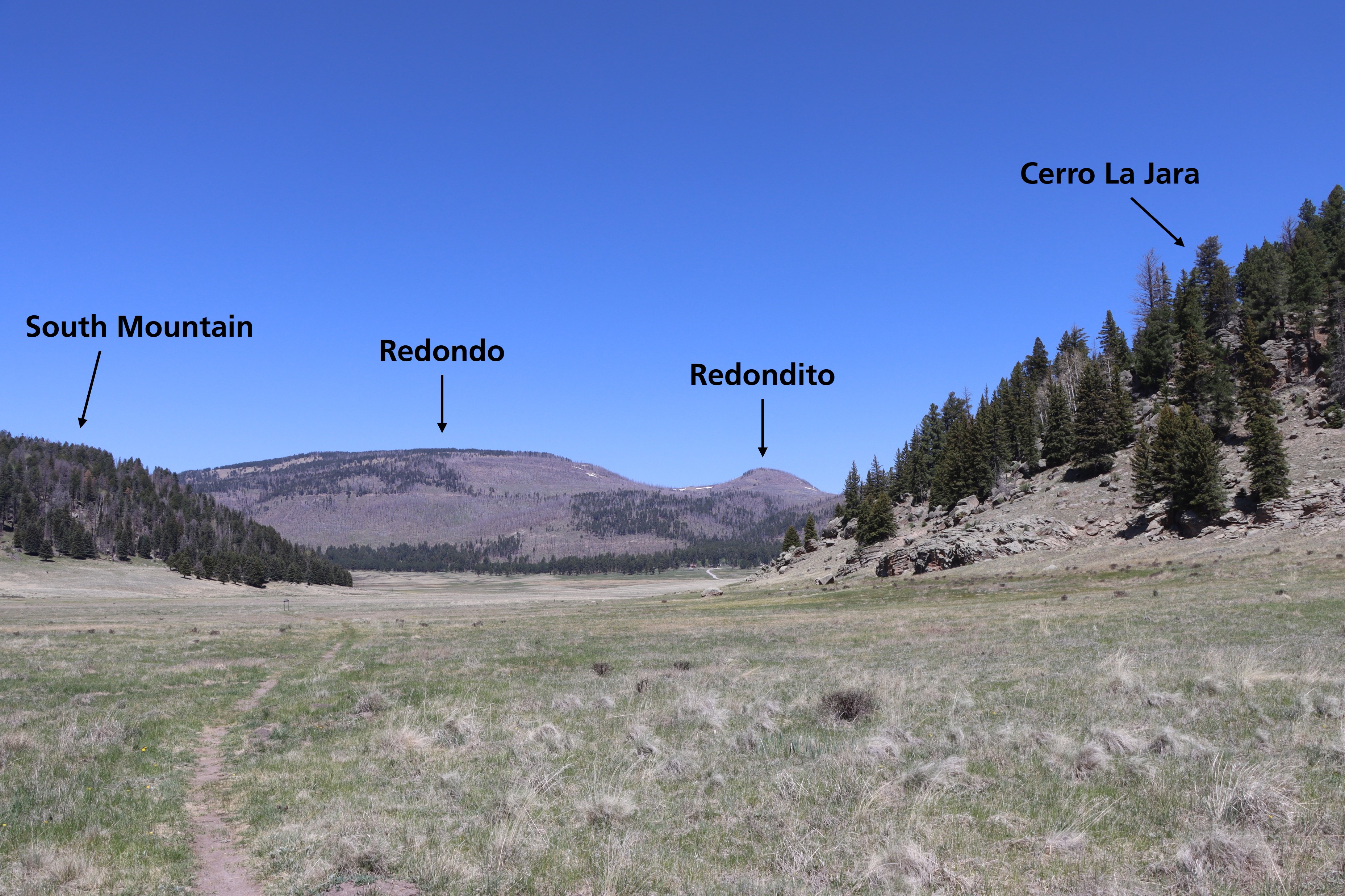
The large mountain in the distance directly ahead of you is Redondo Peak. The smaller peak just to the right is Redondito. These mountains are part of a resurgent dome in the center of Valles Caldera. A resurgent dome is different than a volcanic dome; it wasn’t extruded as la…
North East Fork
~4 min drive
Easy 1.14-mile walk with minimal elevation gain near North East Fork.
Alamo Spring
~6 min drive
Moderate 10.51-mile high desert trail to Alamo Spring with gentle elevation gain.
Cerro Pelado
~10 min drive
Moderate 3.79-mile summit hike with 780 ft gain and scenic ridgeline views.
Cerro La Jara Stop 2
~0 min drive
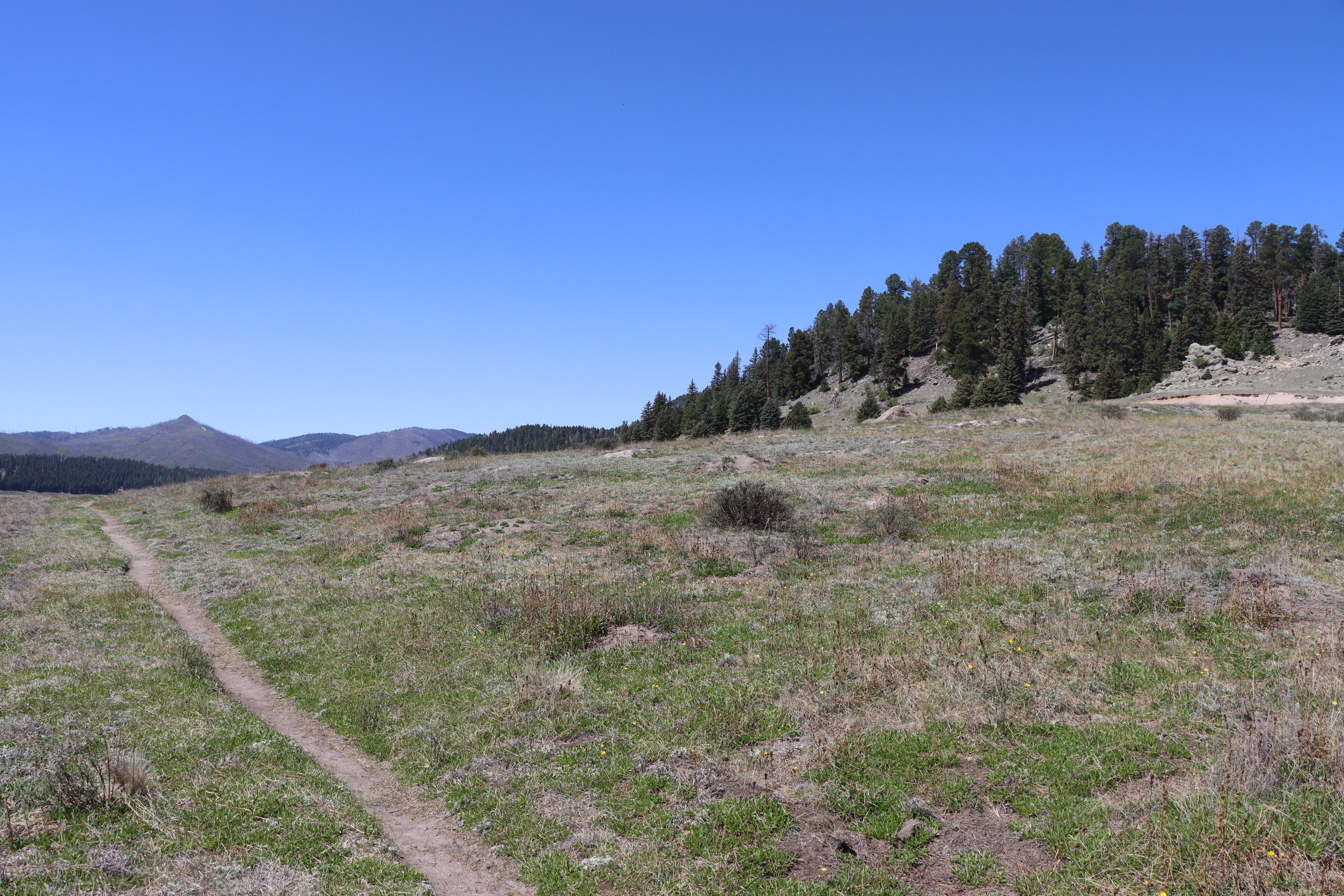
<p>As you walked, you probably noticed that you are walking in a large valley and there are rounded hills or mountains in the distance, behind you, and to your right. You are walking in a volcanic caldera – a depression formed during a volcanic eruption. This caldera was forme…
Bearhead Ridge
~10 min drive
Moderate 7-mile ridgeline hike with 1,342 ft elevation gain and panoramic views.
Pajarito Nordic
~12 min drive
Accessible high-altitude loop through Pajarito Plateau forests and meadows.
Cerro La Jara Stop 6
~0 min drive
So far, you have learned that about 1.2 million years ago, a giant volcanic eruption occurred and created Valles Caldera when the roof of the empty magma chamber collapsed. The material that was erupted (called the Bandelier Tuff) was deposited inside the new hole in the groun…
Peralta Canyon
~10 min drive
Moderate 10.5-mile canyon hike with 1,710 ft elevation gain in the Sandias.
Water Canyon
~13 min drive
Moderate canyon hike with steady elevation gain and scenic desert views.
Local operatorsoffering guided trips. You book directly with them — Roamze doesn’t take a cut.
Turquoise Trail Campground
Hiking business nearby (~49 mi away) — hasn't claimed their Roamze page yet