Loading trail…

Free — you'll pick up right here.
Watch this trail
Sign up to watch it — saving subscribes you to gate, closure and report changes.
Idaho
1.8 mi
Distance
133 ft
Gain
We won't guess. Here is exactly what we do and don't know.
What we do know
Inside Salmon-Challis National Forest
2 managing-area boundaries mapped — agency alerts for them feed this page automatically.
Boundary data
What's missing
No access route mapped
We don't yet know which road reaches this trailhead, so we can't tell you if it's gated.
Nobody's filed a report here yet — be the first.
Why you'll love it
Upper Iron Bog
AI-suggested draft · review before you go
No permit or access details on file for this trail — check with the local land manager before you go.
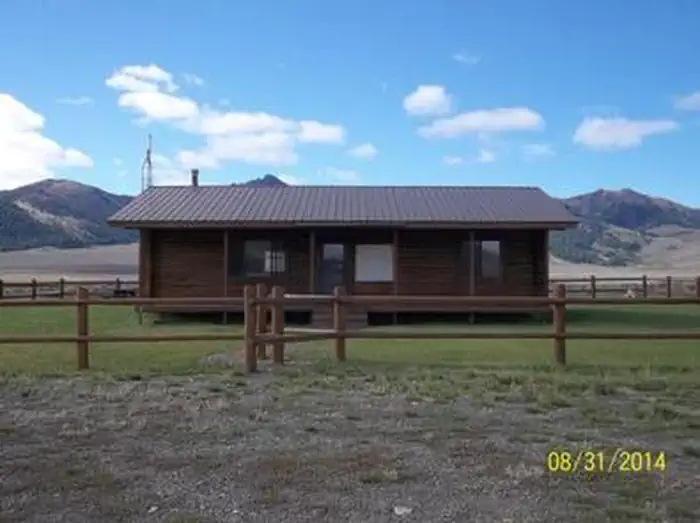
Upper Iron Bog is a short, accessible trail through Idaho's boggy terrain, offering a gentle introduction to wetland ecosystems and native flora. The modest elevation gain and compact distance make it ideal for families and casual hikers seeking a quick nature walk. This trail showcases the unique landscape of Idaho's bog habitats with minimal physical demand.
North Crater Flow Trail
~34 min drive
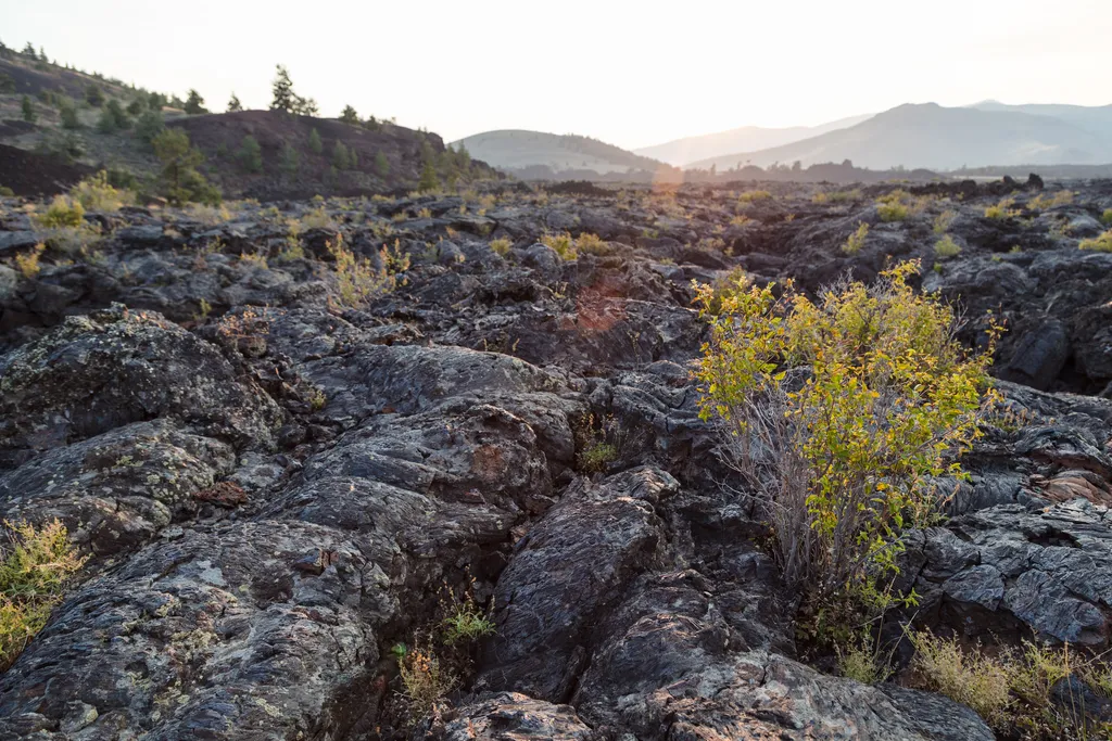
An excellent introduction to the Craters of the Moon landscape, an easy, paved 0.3 mi (0.5 km) loop winds through a pahoehoe lava flow that spilled from the North Crater vent about 2,100 years ago. For your safety and in order to protect this sensitive area, off-trail travel i…
Muldoon-Ironbog
~2 min drive
12-mile moderate loop through Idaho forests and ridges with 1,585 ft elevation gain.
Swede Peak
~14 min drive
Quick 2.86-mile climb to Swede Peak with 523 ft elevation gain.
White Mountain
~17 min drive
Steep 2.4-mile climb with 774 ft gain near White Mountain, Idaho.
Craters of the Moon, the Oregon Trail
~34 min drive
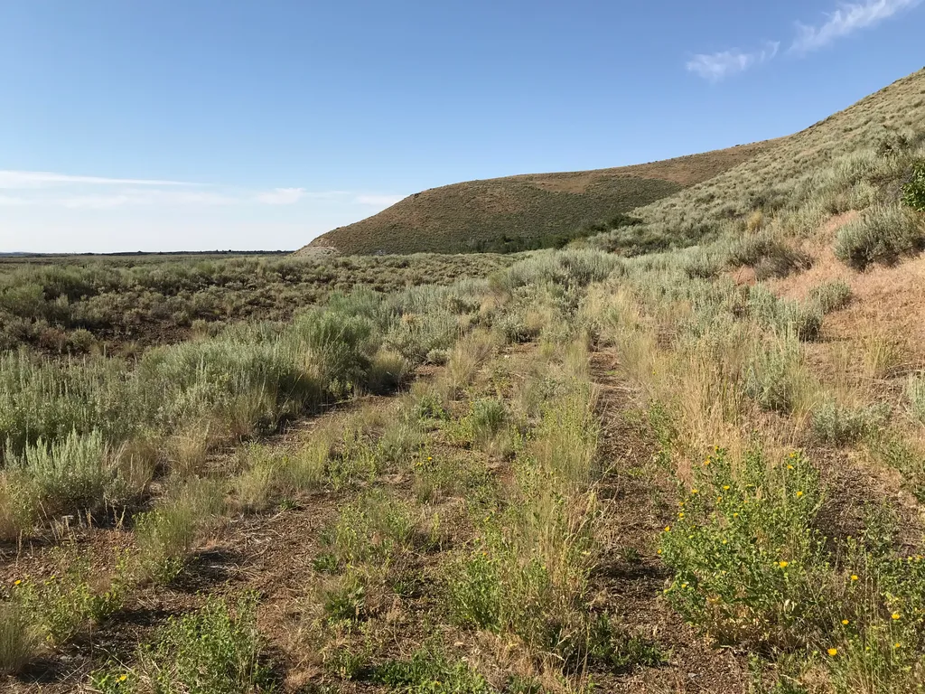
History A Safer Alternative The Oregon Trail followed the course of the Snake River, about 100 miles south of the monument. In 1852, John Jeffrey began promoting a spur trail which traced traditional Shoshone migration routes. He wanted to generate business for his ferry at…
Fish Creek Summit
~8 min drive
12-mile moderate summit hike with 1,700 ft elevation gain in central Idaho.
Bellas Canyon
~18 min drive
Moderate 5.71-mile canyon hike with 1,559 ft elevation gain near Bellas Canyon, Idaho.
Waterfall Trail
~31 min drive
Easy 1.35-mile waterfall hike with minimal elevation gain.
Big Craters
~35 min drive
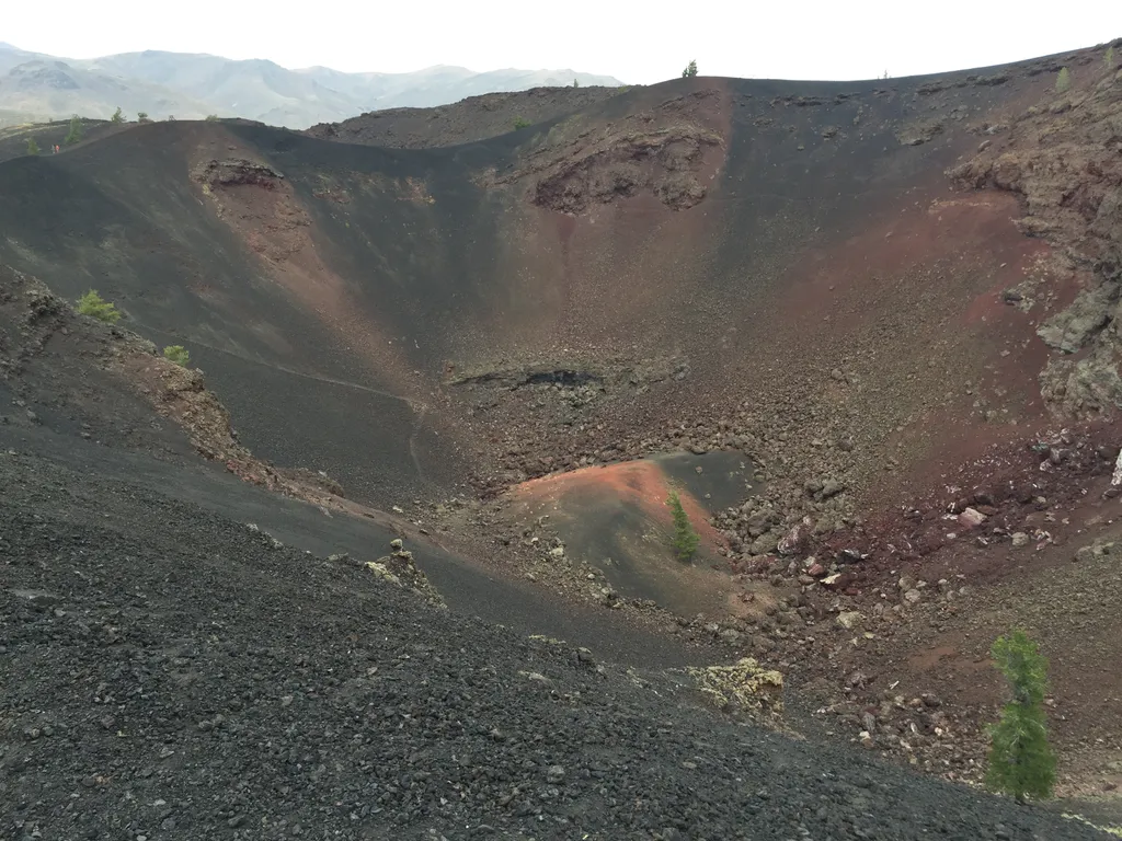
The source of one of the most recent eruptions at Craters of the Moon, Big Craters allows visitors to venture up to the edge of one of the park's larger craters. Big Craters is located at the southern end of North Crater Trail near the Spatter Cones area. A short, steep hike…
Hurst Canyon
~10 min drive
Challenging 16-mile canyon trek with 2,667 ft elevation gain in remote Idaho backcountry.