Loading trail…

Big Craters
Free — you'll pick up right here.
Watch this trail
Sign up to watch it — saving subscribes you to gate, closure and report changes.
Idaho
We won't guess. Here is exactly what we do and don't know.
What we do know
Inside Craters of the Moon National Monument
National Park unit boundary is mapped — agency alerts for it feed this page automatically.
Boundary data
What's missing
No access route mapped
We don't yet know which road reaches this trailhead, so we can't tell you if it's gated.
Nobody's filed a report here yet — be the first.
Big Craters
AI-suggested draft · review before you go
No elevation data on file for this trail.
The source of one of the most recent eruptions at Craters of the Moon, Big Craters allows visitors to venture up to the edge of one of the park's larger craters. Big Craters is located at the southern end of North Crater Trail near the Spatter Cones area. A short, steep hike is required to view the crater with an elevation gain of 100 feet (30 m). From the Snow Cone Trail, follow North Crater Trail for 800 feet (243 m) to the rim of the crater, approximately 200 feet beyond the end of the paved trail. Continuing along the trail, two smaller craters can be seen past the first crater before the trail turns west and goes downhill. Be prepared if you plan to hike this strenuous trail. For your safety and to protect fragile lava formations, off-trail travel is not permitted in the Big Craters or Spatter Cones areas.
North Crater Flow Trail
~2 min drive
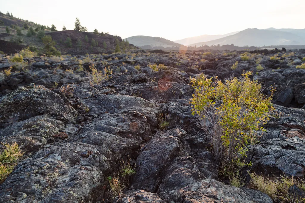
An excellent introduction to the Craters of the Moon landscape, an easy, paved 0.3 mi (0.5 km) loop winds through a pahoehoe lava flow that spilled from the North Crater vent about 2,100 years ago. For your safety and in order to protect this sensitive area, off-trail travel i…
Hurst Canyon
~26 min drive
Challenging 16-mile canyon trek with 2,667 ft elevation gain in remote Idaho backcountry.
Upper Iron Bog
~35 min drive
Easy 1.76-mile bog walk with minimal elevation gain near Upper Iron Bog.
Swede Peak
~45 min drive
Quick 2.86-mile climb to Swede Peak with 523 ft elevation gain.
Devils Orchard Nature Trail
~2 min drive
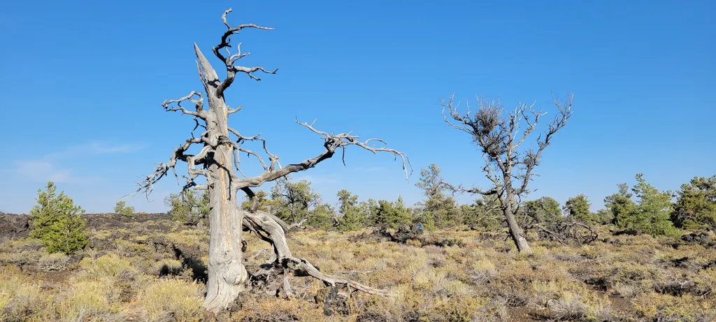
This paved 0.5 mi (0.8 km) trail explores an area of cinder beds scattered with pieces of North Crater. Exhibits along the trail challenge you to consider the difficulties of protecting this fragile environment. This trail is wheelchair accessible. Corresponds to #4 on the pa…
Fish Creek Summit
~27 min drive
12-mile moderate summit hike with 1,700 ft elevation gain in central Idaho.
Green Lake
~41 min drive
Short, scenic alpine lake hike with steady elevation gain.
Sawmill Canyon
~47 min drive
Steep canyon climb with 1,577 ft gain over 4 miles near Sawmill Canyon, Idaho.
Craters of the Moon, the Oregon Trail
~16 min drive
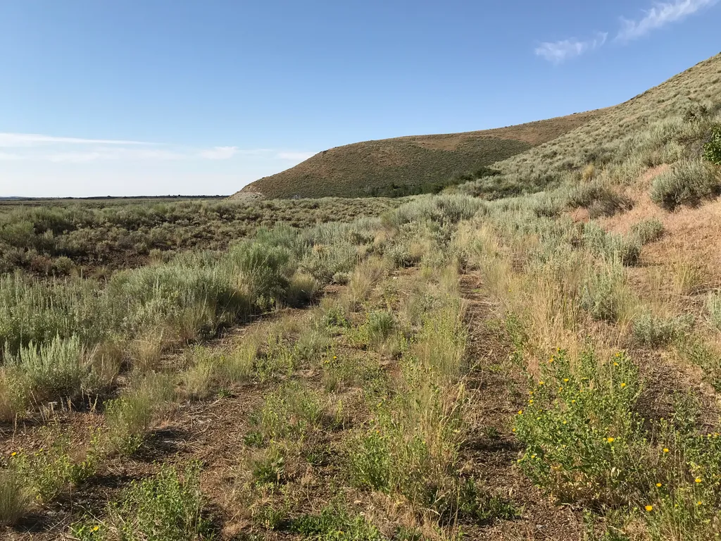
History A Safer Alternative The Oregon Trail followed the course of the Snake River, about 100 miles south of the monument. In 1852, John Jeffrey began promoting a spur trail which traced traditional Shoshone migration routes. He wanted to generate business for his ferry at…
Antelope Road - FR 137
~27 min drive
15-mile forest service road with 815 ft gain through Idaho high country.