Loading trail…

Free — you'll pick up right here.
Watch this trail
Sign up to watch it — saving subscribes you to gate, closure and report changes.
Idaho
3.9 mi
Distance
1,321 ft
Gain
Agency alerts are in effect for this area; weather is good
2 factors · 2 sources
Newest 8 h ago · oldest 15 d
caution: Agency alerts
18 active alerts in Salmon-Challis National Forest; most severe: Salmon River Corridor (Wild and Scenic Section)
USFS15 d ago
clear: Weather
Clear, high 46°F / low 39°F, 0% precip — 100/100 for hike
OpenWeather8 h ago
Been out here in the last few days? One report keeps this current for everyone.
Why you'll love it
Brockie Lake
AI-suggested draft · review before you go
No permit or access details on file for this trail — check with the local land manager before you go.
Brockie Lake is a scenic alpine lake hike offering rewarding views with moderate elevation gain over nearly 4 miles. This trail climbs through forested terrain to reach a pristine mountain lake, making it an excellent choice for hikers seeking a half-day adventure with manageable distance and elevation. The lake basin provides opportunities for photography, fishing, and peaceful rest before the return descent.
Craters of the Moon, the Oregon Trail
~34 min drive
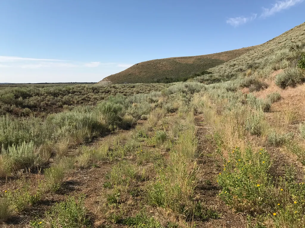
History A Safer Alternative The Oregon Trail followed the course of the Snake River, about 100 miles south of the monument. In 1852, John Jeffrey began promoting a spur trail which traced traditional Shoshone migration routes. He wanted to generate business for his ferry at…
Muldoon-Ironbog
~2 min drive
12-mile moderate loop through Idaho forests and ridges with 1,585 ft elevation gain.
Upper Iron Bog
~3 min drive
Easy 1.76-mile bog walk with minimal elevation gain near Upper Iron Bog.
Swede Peak
~15 min drive
Quick 2.86-mile climb to Swede Peak with 523 ft elevation gain.
North Crater Flow Trail
~35 min drive
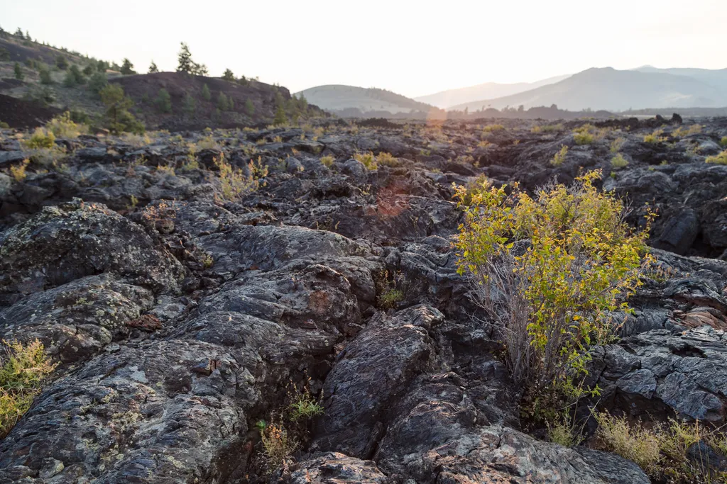
An excellent introduction to the Craters of the Moon landscape, an easy, paved 0.3 mi (0.5 km) loop winds through a pahoehoe lava flow that spilled from the North Crater vent about 2,100 years ago. For your safety and in order to protect this sensitive area, off-trail travel i…
Fish Creek Summit
~9 min drive
12-mile moderate summit hike with 1,700 ft elevation gain in central Idaho.
White Mountain
~16 min drive
Steep 2.4-mile climb with 774 ft gain near White Mountain, Idaho.
Bellas Canyon
~16 min drive
Moderate 5.71-mile canyon hike with 1,559 ft elevation gain near Bellas Canyon, Idaho.
Hurst Canyon
~10 min drive
Challenging 16-mile canyon trek with 2,667 ft elevation gain in remote Idaho backcountry.
Waterfall Trail
~30 min drive
Easy 1.35-mile waterfall hike with minimal elevation gain.