
Wildcat Mountaineering
Hiking business nearby (~17 mi away) — hasn't claimed their Roamze page yet
Free — you'll pick up right here.
Watch this trail
Sign up to watch it — saving subscribes you to gate, closure and report changes.
Colorado
13.3 mi
Distance
3,588 ft
Gain
We won't guess. Here is exactly what we do and don't know.
What we do know
Inside Rocky Mountain National Park
4 managing-area boundaries mapped — agency alerts for them feed this page automatically.
Boundary data
What's missing
No access route mapped
We don't yet know which road reaches this trailhead, so we can't tell you if it's gated.
Nobody's filed a report here yet — be the first.
Why you'll love it
St Vrain Mountain
AI-suggested draft · review before you go
St Vrain Mountain is a 13.3-mile out-and-back trail located in Colorado near the White River National Forest's Blanco Ranger District. The route offers hikers access to the scenic terrain managed by the US Forest Service. This out-and-back format means hikers will retrace their steps on the return journey, providing flexibility to turn back at any point. The trail's substantial distance of 13.3 miles makes it suitable for hikers with moderate to advanced fitness levels and sufficient time to complete the full route or partial distances. The trail falls under the management of the White River National Forest Blanco Ranger District, ensuring maintenance and adherence to Forest Service regulations. Hikers should check with the Blanco Ranger District for current trail conditions, any closures, or specific regulations before visiting. The area provides opportunities to explore Colorado's mountain landscape within the protected boundaries of the national forest. Visitors are encouraged to prepare accordingly for a full-day hiking experience and bring necessary supplies for the distance involved.

Park Creek
~5 min drive
4.5 mi · Moderate

Fox Creek
~7 min drive
2.1 mi · Easy

Beaver Creek
~10 min drive
14 mi · Hard
Longs Peak
~13 min drive
Standard route to Longs Peak (14,255 ft) from Longs Peak Trailhead (Keyhole Route).
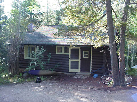
Wild Basin Trail
~5 min drive
6.6 mi · Moderate
Baptiste
~8 min drive
1.5 mi · Easy

Isabelle Glacier
~12 min drive
4.5 mi · Hard
Buchannan Pass Trail
~6 min drive
11 mi · Moderate

Taylor Mountain
~9 min drive
2.4 mi · Easy

Pawnee Pass
~12 min drive
16 mi · Hard
Local operatorsoffering guided trips. You book directly with them — Roamze doesn’t take a cut.
Wildcat Mountaineering
Hiking business nearby (~17 mi away) — hasn't claimed their Roamze page yet
Camp Always Choose Adventures
Hiking business nearby (~25 mi away) — hasn't claimed their Roamze page yet
Alpine Lodge at Red Feather Lakes
Hiking business nearby (~44 mi away) — hasn't claimed their Roamze page yet