

Wildcat Mountaineering
Hiking business nearby (~13 mi away) — hasn't claimed their Roamze page yet
Free — you'll pick up right here.
Watch this trail
Sign up to watch it — saving subscribes you to gate, closure and report changes.
Colorado
2.1 mi
Distance
340 ft
Gain
We won't guess. Here is exactly what we do and don't know.
What we do know
Inside Arapaho and Roosevelt National Forests
2 managing-area boundaries mapped — agency alerts for them feed this page automatically.
Boundary data
What's missing
No access route mapped
We don't yet know which road reaches this trailhead, so we can't tell you if it's gated.
Nobody's filed a report here yet — be the first.
Why you'll love it
Fox Creek
AI-suggested draft · review before you go
Fox Creek is a 2.1-mile out-and-back trail located in Colorado near the White River National Forest's Blanco Ranger District. This short day hike offers an accessible option for hikers seeking a quick outdoor excursion in the area. The trail is managed by the White River National Forest, Blanco Ranger District, ensuring proper maintenance and stewardship of the pathway. As an out-and-back route, hikers will retrace their steps on the return journey, making distance planning straightforward. The relatively modest mileage makes Fox Creek suitable for various skill levels and time constraints. Whether you're looking for a brief morning hike or a family-friendly outing, this trail provides a manageable option in the Colorado mountains. For current conditions, trail maintenance updates, and any seasonal closures, contact the White River National Forest, Blanco Ranger District directly.

Taylor Mountain
~3 min drive
2.4 mi · Easy

Deer Ridge
~3 min drive
3.7 mi · Moderate
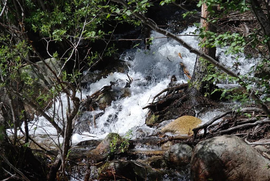
St Vrain Mountain
~7 min drive
A moderate 13.32-mile out-and-back hike in Colorado that connects to Indian Peak Wilderness and Rocky Mountain National Park.
Longs Peak
~9 min drive
Standard route to Longs Peak (14,255 ft) from Longs Peak Trailhead (Keyhole Route).

South Sheep Mtn
~7 min drive
1.5 mi · Easy
Bright
~3 min drive
3.5 mi · Moderate

Longs Peak Trail
~9 min drive
A 13.66-mile out-and-back trail in Colorado that connects to the East Longs Peak Trail system.
Dry Saint Vrain
~9 min drive
A 0.74-mile expert-level out-and-back hike in Colorado connecting to North Saint Vrain Creek, designed for experienced hikers.
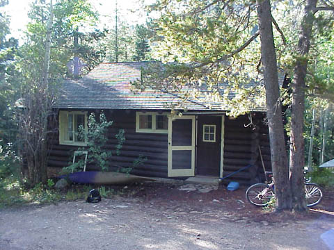
Wild Basin Trail
~5 min drive
6.6 mi · Moderate

Homestead Meadows
~11 min drive
11 mi · Hard
Local operatorsoffering guided trips. You book directly with them — Roamze doesn’t take a cut.
Wildcat Mountaineering
Hiking business nearby (~13 mi away) — hasn't claimed their Roamze page yet
Camp Always Choose Adventures
Hiking business nearby (~28 mi away) — hasn't claimed their Roamze page yet
Alpine Lodge at Red Feather Lakes
Hiking business nearby (~41 mi away) — hasn't claimed their Roamze page yet