

Alpine Lodge at Red Feather Lakes
Hiking business nearby (~28 mi away) — hasn't claimed their Roamze page yet
Milner Pass
Free — you'll pick up right here.
Watch this trail
Sign up to watch it — saving subscribes you to gate, closure and report changes.
Colorado
We won't guess. Here is exactly what we do and don't know.
What we do know
Inside Rocky Mountain National Park
National Park unit boundary is mapped — agency alerts for it feed this page automatically.
Boundary data
Access via US 34: Milner Pass
Road status feeds from the state DOT 511 network.
State DOT 511 · 15 d ago
Nobody's filed a report here yet — be the first.
Milner Pass
AI-suggested draft · review before you go
No elevation data on file for this trail.
At 10,759 feet, this mountain pass has exceptional views of Poudre Lake, and is located on the continental divide! The divide traverses the Americas from Alaska to Cape Horn in Chile. As it rains on the divide, the future course of a drop of water depends on a matter of feet. All water east of this pass will flow towards the Atlantic Ocean while all water on the west side will flow towards the Pacific Ocean. Look for a descriptive brown sign in the parking lot. Milner Pass is named for T.J Milner, an ambitious railroad promoter who surveyed a rail route across the divide. Like many surveyed routes of the 1880s, the railroad line was never built. This pass provides access to one end of the Ute Trail that leads to the Alpine Visitor Center. Note: Extreme weather can change the status of Trail Ridge Road at any time—be ready to adjust your travel plans if needed, and always check the weather before you start your drive. Altitude Warning: Altitude sickness affects many visitors every year. Symptoms include headache, nausea, fatigue, dizziness, vomiting, and even unconsciousness. Altitude can also aggravate pre-existing conditions like heart and lung disease. Take your time, drink water, eat, and rest. The only cure for altitude sickness is to go down to a lower altitude.
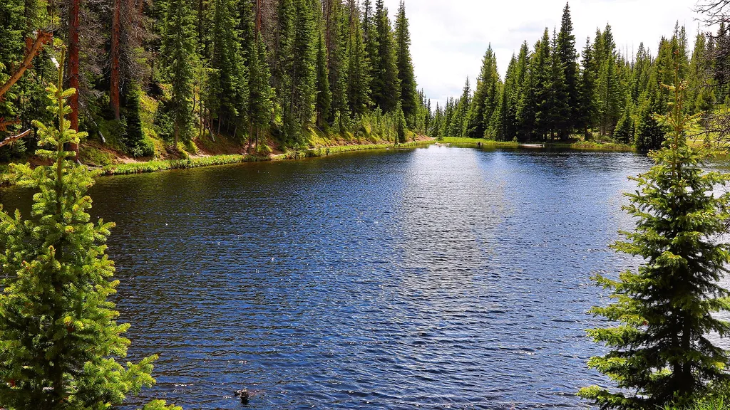
Lake Irene Picnic Area
~1 min drive
<p>The Lake Irene Picnic Area is an ideal location to enjoy Rocky Mountain National Park’s sub-alpine ecosystem.</p> <p>There are several picnic tables available at this location and it is just a short walk to Lake Irene. After your picnic, stroll the 0.5 mile loop around this…

Colorado River Trail
~3 min drive
A moderate 3.66-mile lollipop trail in Colorado featuring a combination loop and out-and-back route.
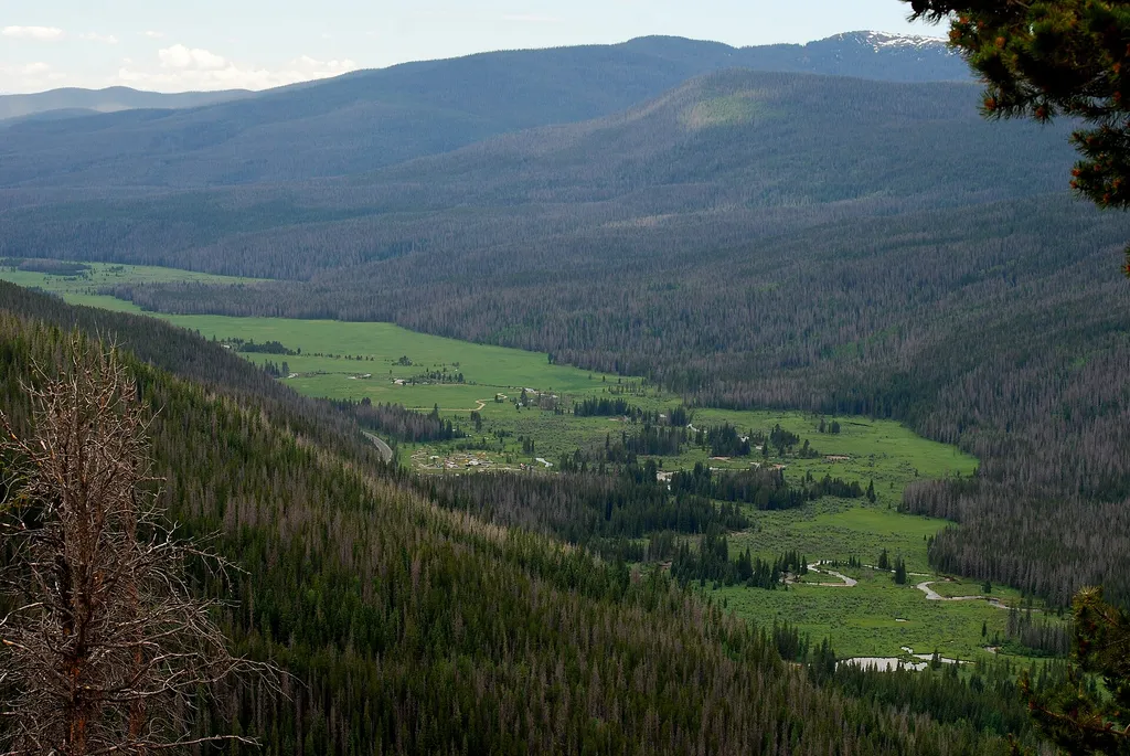
Colorado River Trailhead
~4 min drive
<p>The Colorado River Trailhead is the access point for many trails in the northwest corner of Rocky Mountain National Park.</p> <p>From this location, park visitors can explore a variety of trails. For a simple excursion, hike 0.5 miles to find the Colorado River. This point…

Baker Gulch
~9 min drive
12 mi · Hard
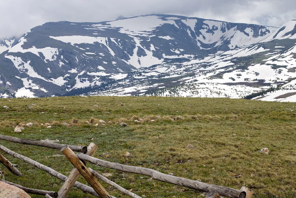
Farview Curve Overlook
~3 min drive
<p>Enjoy sweeping views of the Kawnueeche Valley and the Never Summer Range from this spectacular overlook.</p> <p>For thousands of years, Native American communities lived seasonally in the Kawnueeche Valley. The Colorado River provided valuable resources that sustained commu…

Ute Trail
~6 min drive
9.2 mi · Moderate

Timber Lake Trail
~4 min drive
5.8 mi · Easy

Tonahutu Creek Trail
~12 min drive
27 mi · Hard
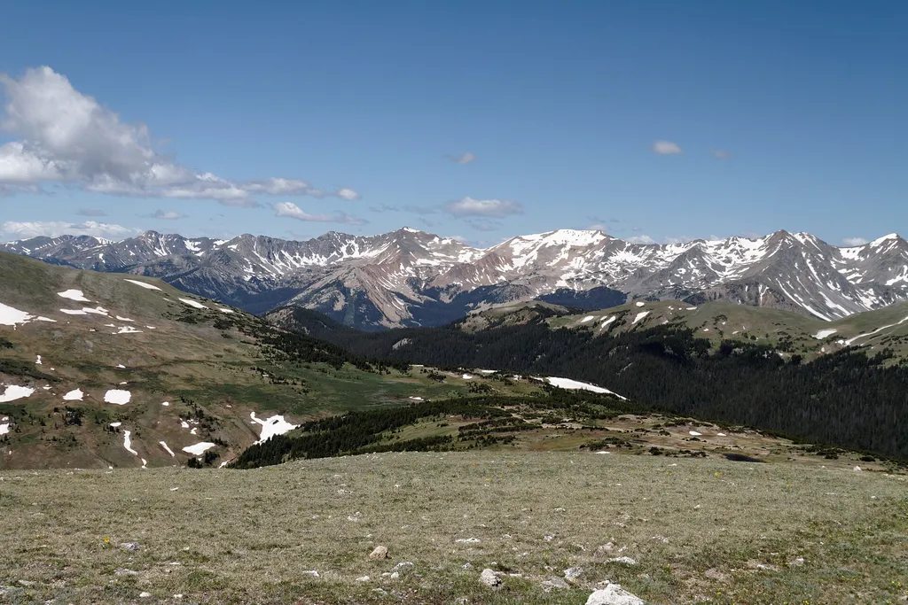
Gore Range Overlook
~4 min drive
<p>Get spectacular views of Rocky Mountain National Park’s highest peaks!</p> <p>Gore Range Overlook offers views of the Never Summer Mountains, and the Gore Range. From this western-facing pullout, the flat top of Long’s Peak is in sight - the highest peak at 14,259 feet in t…

Neota Creek
~7 min drive
3.1 mi · Moderate
Local operatorsoffering guided trips. You book directly with them — Roamze doesn’t take a cut.
Alpine Lodge at Red Feather Lakes
Hiking business nearby (~28 mi away) — hasn't claimed their Roamze page yet
Wildcat Mountaineering
Hiking business nearby (~32 mi away) — hasn't claimed their Roamze page yet
Camp Always Choose Adventures
Hiking business nearby (~44 mi away) — hasn't claimed their Roamze page yet