
Alpine Lodge at Red Feather Lakes
Hiking business nearby (~26 mi away) — hasn't claimed their Roamze page yet
Free — you'll pick up right here.
Watch this trail
Sign up to watch it — saving subscribes you to gate, closure and report changes.
Colorado
9.2 mi
Distance
117 ft
Gain
Weather is good
1 factor · 1 source
Observed 20 h ago
clear: Weather
Clouds, high 70°F / low 60°F, 44% precip — 76/100 for hike
OpenWeather20 h ago
Been out here in the last few days? One report keeps this current for everyone.
Why you'll love it
Ute Trail
AI-suggested draft · review before you go
No permit or access details on file for this trail — check with the local land manager before you go.
The Ute Trail is a 4.6-mile out-and-back hike located in Colorado. This trail offers a moderate day-hike option for visitors exploring the Colorado area. The out-and-back route format allows hikers to turn around at any point that suits their fitness level and available time. The trail's proximity to Colorado makes it accessible for both local recreationalists and travelers passing through the region. Its moderate distance is suitable for hikers seeking a half-day adventure without requiring an overnight commitment. The out-and-back design means hikers will retrace their steps on the return journey, providing familiarity with the route. Hikers interested in the Ute Trail should plan accordingly for a 4.6-mile round-trip experience. While elevation gain information is not currently available, the trail's length and terrain classification suggest it's manageable for those with basic hiking experience. Check local conditions before heading out, as trail status and difficulty can vary seasonally.
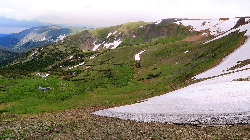
Trail Ridge Store
~0 min drive
<p>At 11,796 feet, the Alpine Visitor Center is the highest visitor center in the National Park Service!</p> <p>Usually only open from May to October, it is chilly even in the heart of summer, so make sure to bring layers or even a hat. Located on Trail Ridge Road in the alpin…

Neota Creek
~8 min drive
3.1 mi · Moderate

Timber Lake Trail
~10 min drive
5.8 mi · Easy

Baker Gulch
~14 min drive
12 mi · Hard
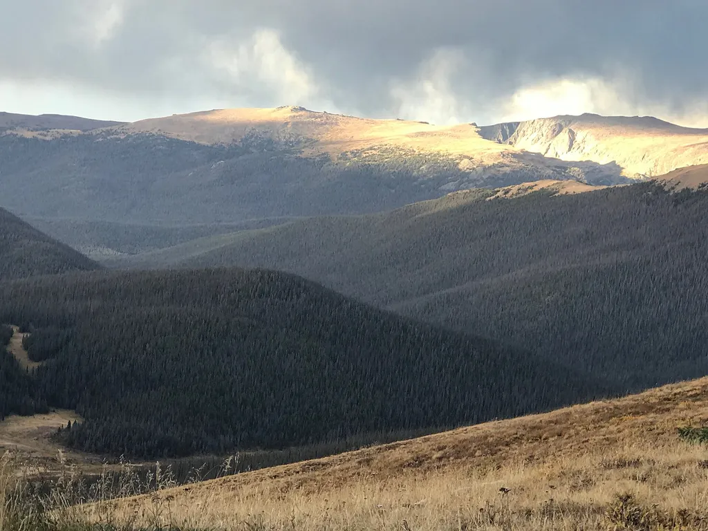
Medicine Bow Curve
~1 min drive
<p>Medicine Bow Curve provides a great location to view the northernmost areas of Rocky Mountain National Park.</p> <p>Looking to the horizon, visitors will see the Medicine Bow Mountains and the state of Wyoming. The Cache la Poudre river can clearly be seen flowing through t…

Colorado River Trail
~9 min drive
A moderate 3.66-mile lollipop trail in Colorado featuring a combination loop and out-and-back route.
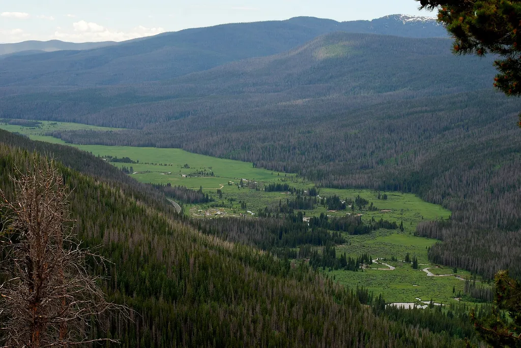
Colorado River Trailhead
~10 min drive
<p>The Colorado River Trailhead is the access point for many trails in the northwest corner of Rocky Mountain National Park.</p> <p>From this location, park visitors can explore a variety of trails. For a simple excursion, hike 0.5 miles to find the Colorado River. This point…

Tonahutu Creek Trail
~14 min drive
27 mi · Hard
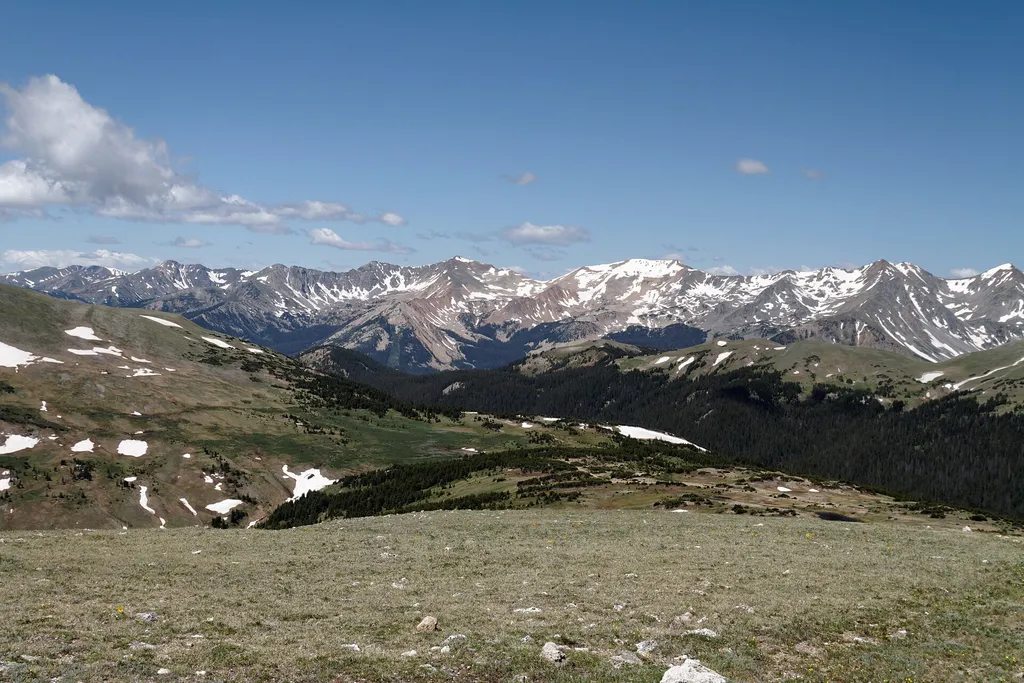
Gore Range Overlook
~2 min drive
<p>Get spectacular views of Rocky Mountain National Park’s highest peaks!</p> <p>Gore Range Overlook offers views of the Never Summer Mountains, and the Gore Range. From this western-facing pullout, the flat top of Long’s Peak is in sight - the highest peak at 14,259 feet in t…
Big South
~13 min drive
A demanding 3.13-mile loop in Colorado that connects to Flowers Trail (#939), ideal for experienced hikers seeking a challenging outing.
Local operatorsoffering guided trips. You book directly with them — Roamze doesn’t take a cut.
Alpine Lodge at Red Feather Lakes
Hiking business nearby (~26 mi away) — hasn't claimed their Roamze page yet
Wildcat Mountaineering
Hiking business nearby (~30 mi away) — hasn't claimed their Roamze page yet
Camp Always Choose Adventures
Hiking business nearby (~45 mi away) — hasn't claimed their Roamze page yet