
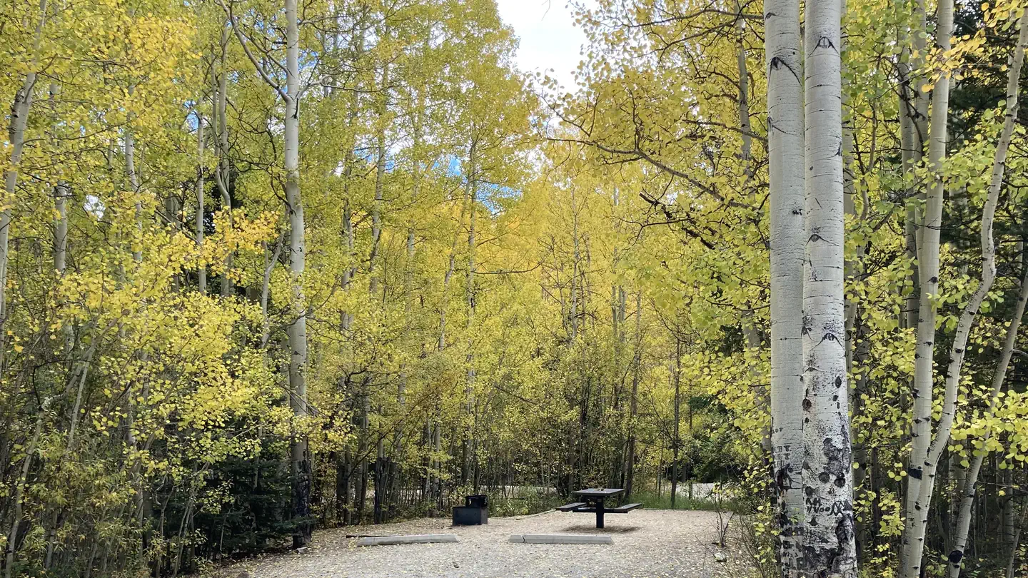
Mt. Princeton RV Park
Hiking business nearby (~10 mi away) — hasn't claimed their Roamze page yet
Free — you'll pick up right here.
Watch this trail
Sign up to watch it — saving subscribes you to gate, closure and report changes.
Colorado
46.0 mi
Distance
3,948 ft
Gain
We won't guess. Here is exactly what we do and don't know.
What we do know
Inside Pike and San Isabel National Forests
2 managing-area boundaries mapped — agency alerts for them feed this page automatically.
Boundary data
What's missing
No access route mapped
We don't yet know which road reaches this trailhead, so we can't tell you if it's gated.
Nobody's filed a report here yet — be the first.
Why you'll love it
Colorado Trail Seg. 13 North Cottonwood Creek Road to Chalk Creek Trailhead
AI-suggested draft · review before you go
No permit or access details on file for this trail — check with the local land manager before you go.
Colorado Trail Segment 13 is a 23-mile out-and-back trail located in Colorado, running from North Cottonwood Creek Road to the Chalk Creek Trailhead. This segment offers hikers an extended backcountry experience through the region's diverse terrain. The route traverses areas characteristic of Colorado's mountainous landscape, providing hikers with the opportunity to experience the varied ecosystems found along this section of the renowned Colorado Trail system. As an out-and-back route, hikers can customize their experience by turning around at any point along the trail or completing the full 23-mile distance. The trail connects between two established trailheads, making it accessible for those looking to experience this particular section of the larger Colorado Trail network. The segment is suitable for hikers seeking a substantial day hike or multi-day backpacking adventure, depending on individual fitness levels and time availability. Whether you're a through-hiker on the Colorado Trail or exploring individual segments, Segment 13 provides a classic Colorado hiking experience between these two trailheads.

Narrow Gauge
~1 min drive
4.4 mi · Moderate
Cascade Creek Trail
~3 min drive
0.9 mi · Easy

Colorado Trail Seg. 14 Chalk Creek Trailhead to US-50
~20 min drive
40 mi · Hard
Mount Princeton
~3 min drive
Standard route to Mount Princeton (14,204 ft) from Mt. Princeton Road.

Lost Lake
~22 min drive
3.5 mi · Moderate

Mt. Princeton
~4 min drive
4.0 mi · Easy

Colorado Trail Seg. 12 Clear Creek to North Cottonwood Creek Road
~20 min drive
41 mi · Hard
Mount Yale
~14 min drive
Standard route to Mount Yale (14,200 ft) from Denny Creek.
Wagon Loop Trail
~7 min drive
3.7 mi · Moderate

Alpine Tunnel
~21 min drive
1.7 mi · Easy
Local operatorsoffering guided trips. You book directly with them — Roamze doesn’t take a cut.
Mt. Princeton RV Park
Hiking business nearby (~10 mi away) — hasn't claimed their Roamze page yet
Valley Mobile RV Park
Hiking business nearby (~10 mi away) — hasn't claimed their Roamze page yet
Arrowhead Point Campground and Cabins
Hiking business nearby (~11 mi away) — hasn't claimed their Roamze page yet