
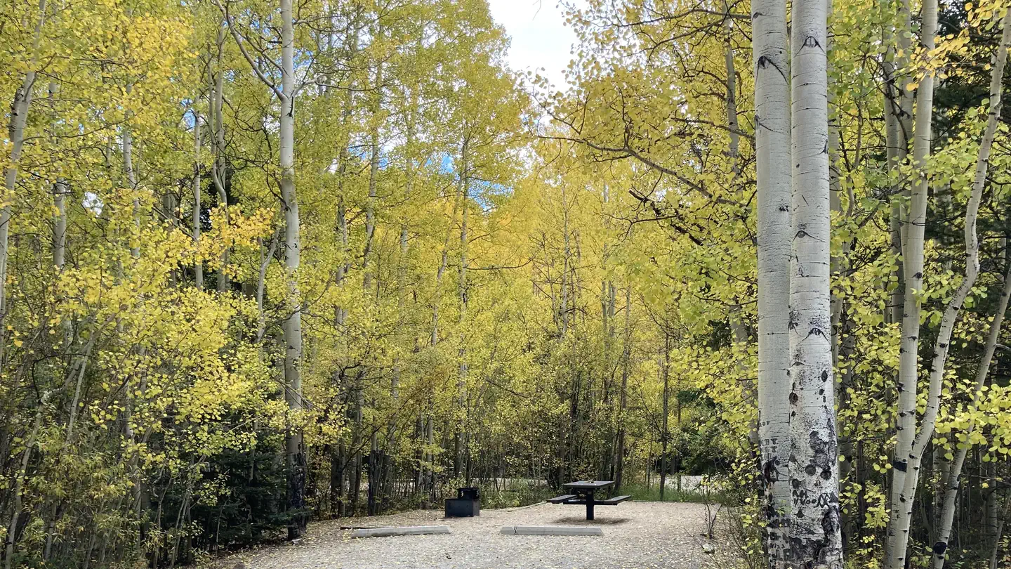
Mt. Princeton RV Park
Hiking business nearby (~11 mi away) — hasn't claimed their Roamze page yet
Free — you'll pick up right here.
Watch this trail
Sign up to watch it — saving subscribes you to gate, closure and report changes.
Colorado
0.9 mi
Distance
212 ft
Gain
We won't guess. Here is exactly what we do and don't know.
What we do know
Inside Pike and San Isabel National Forests
2 managing-area boundaries mapped — agency alerts for them feed this page automatically.
Boundary data
What's missing
No access route mapped
We don't yet know which road reaches this trailhead, so we can't tell you if it's gated.
Nobody's filed a report here yet — be the first.
Why you'll love it
Cascade Creek Trail
AI-suggested draft · review before you go
Cascade Creek Trail is a 1.7-mile out-and-back trail located in Colorado near the San Juan National Forest's Columbine Ranger District on the West side. This short trail follows Cascade Creek through forested terrain typical of the San Juan Mountains region. The out-and-back format makes this an accessible option for hikers seeking a straightforward route without navigation complexity. The trail's modest distance of 1.7 miles total makes it suitable for a quick outing or families looking for a shorter hiking experience. The trail is maintained by the San Juan National Forest's Columbine Ranger District, ensuring regular upkeep and adherence to Forest Service standards. The creek setting provides opportunities to experience riparian habitat and potentially spot wildlife common to the area. Hikers should check with the Columbine Ranger District for current trail conditions and any seasonal closures before visiting. The San Juan National Forest encompasses diverse ecosystems and offers year-round recreation opportunities depending on weather and access conditions.

Narrow Gauge
~3 min drive
4.4 mi · Moderate
Colorado Trail Seg. 13 North Cottonwood Creek Road to Chalk Creek Trailhead
~3 min drive
46 mi · Hard

Mt. Princeton
~4 min drive
4.0 mi · Easy
Mount Princeton
~5 min drive
Standard route to Mount Princeton (14,204 ft) from Mt. Princeton Road.

Lost Lake
~19 min drive
3.5 mi · Moderate

Colorado Trail Seg. 14 Chalk Creek Trailhead to US-50
~20 min drive
40 mi · Hard

Alpine Tunnel
~19 min drive
1.7 mi · Easy
Mount Yale
~13 min drive
Standard route to Mount Yale (14,200 ft) from Denny Creek.
Wagon Loop Trail
~8 min drive
3.7 mi · Moderate
Colorado Trail Seg. 15 US-50 to Marshall Pass
~20 min drive
32 mi · Hard
Local operatorsoffering guided trips. You book directly with them — Roamze doesn’t take a cut.
Mt. Princeton RV Park
Hiking business nearby (~11 mi away) — hasn't claimed their Roamze page yet
Valley Mobile RV Park
Hiking business nearby (~11 mi away) — hasn't claimed their Roamze page yet
Arrowhead Point Campground and Cabins
Hiking business nearby (~12 mi away) — hasn't claimed their Roamze page yet