Loading trail…

Free — you'll pick up right here.
Watch this trail
Sign up to watch it — saving subscribes you to gate, closure and report changes.
California
1,238 ft
Gain
We won't guess. Here is exactly what we do and don't know.
What we do know
Inside Sequoia National Park
National Park unit boundary is mapped — agency alerts for it feed this page automatically.
Boundary data
What's missing
No access route mapped
We don't yet know which road reaches this trailhead, so we can't tell you if it's gated.
Nobody's filed a report here yet — be the first.
Why you'll love it
Little Baldy Trailhead
AI-suggested draft · review before you go
No permit or access details on file for this trail — check with the local land manager before you go.
<p>This trailhead orientation panel shows a map and images of the Little Baldy Trail area.<br /> <br /> Little Baldy Trail travels 1.7 miles (2.7 km) at an easy incline to the granite dome of Little Baldy, which features views of the lower portion of the Great Western Divide, Kaweah Peaks, and Sillman Crest.</p>
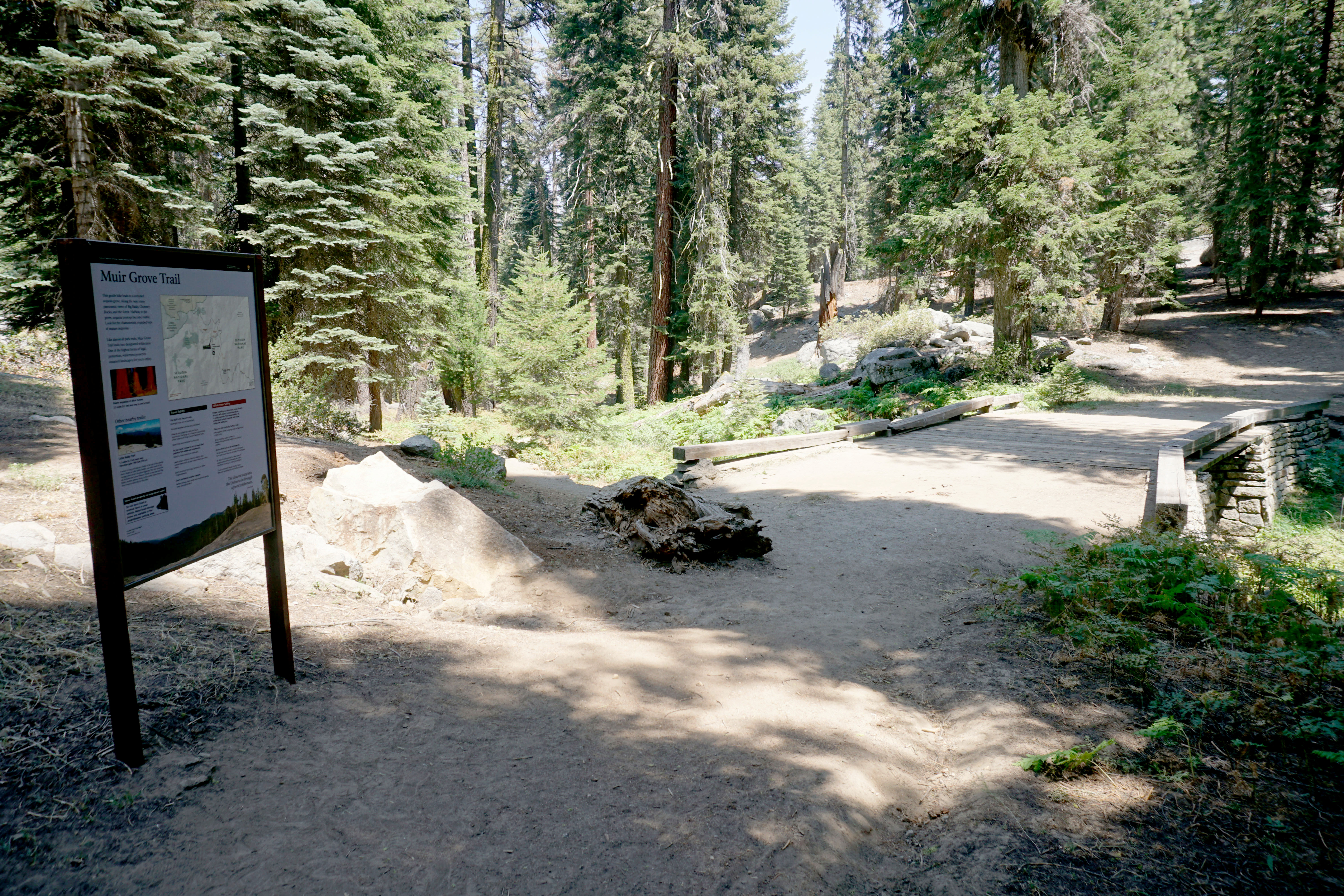
Muir Grove Trailhead
~2 min drive
<p>Muir Grove offers an opportunity to hike into a sequoia grove that's off the beaten path. The gently sloping trail follows a ridgeline that offers distant views of the sequoias as you hike. Once you reach them, enjoy the quiet and calm of the area.</p>
Stony Creek
~6 min drive
Moderate 7-mile creek trail with 2,500 ft elevation gain.
Jo Pass
~12 min drive
Scenic alpine pass hike with steady elevation gain and mountain views.
Marvin Pass
~15 min drive
Short alpine pass hike with gentle elevation gain and accessible terrain.
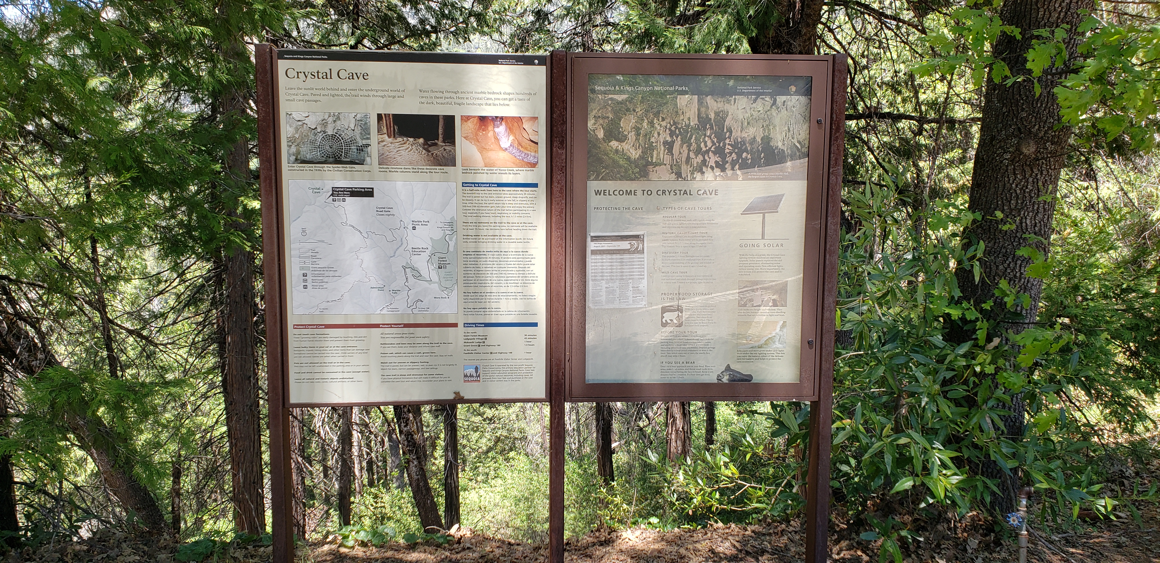
Crystal Cave Parking & Trailhead
~4 min drive
<h3>Sequoia Parks Conservancy has announced that Crystal Cave will be open for guided tours during the 2025 season.</h3> <h4>The road, trail, and visitor facilities at Crystal Cave have been repaired after sustaining damage during the 2021 KNP Complex wildfire and extreme wint…
Jennie Lake
~10 min drive
Moderate Sierra alpine lake hike with steady elevation gain and scenic views.
Big Meadow
~12 min drive
Scenic Sierra foothills hike to alpine meadow with steady elevation gain.
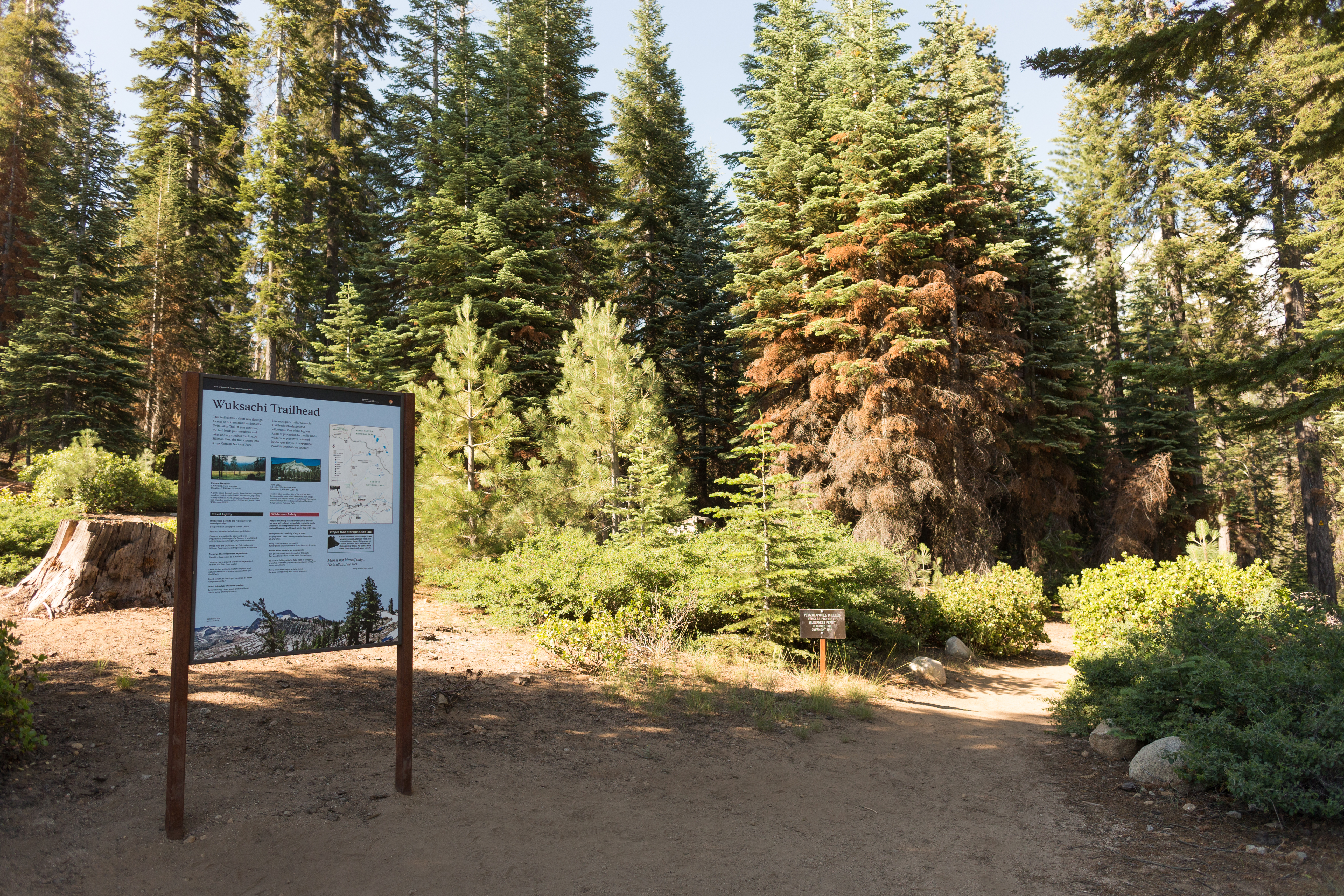
Wuksachi Trailhead
~6 min drive
<p>This trailhead orientation panel shows a map and photos of the Wuksachi Trailhead area.</p>
Rowell Meadow
~13 min drive
Moderate 5.6-mile climb to scenic high meadow with 1,635 ft elevation gain.
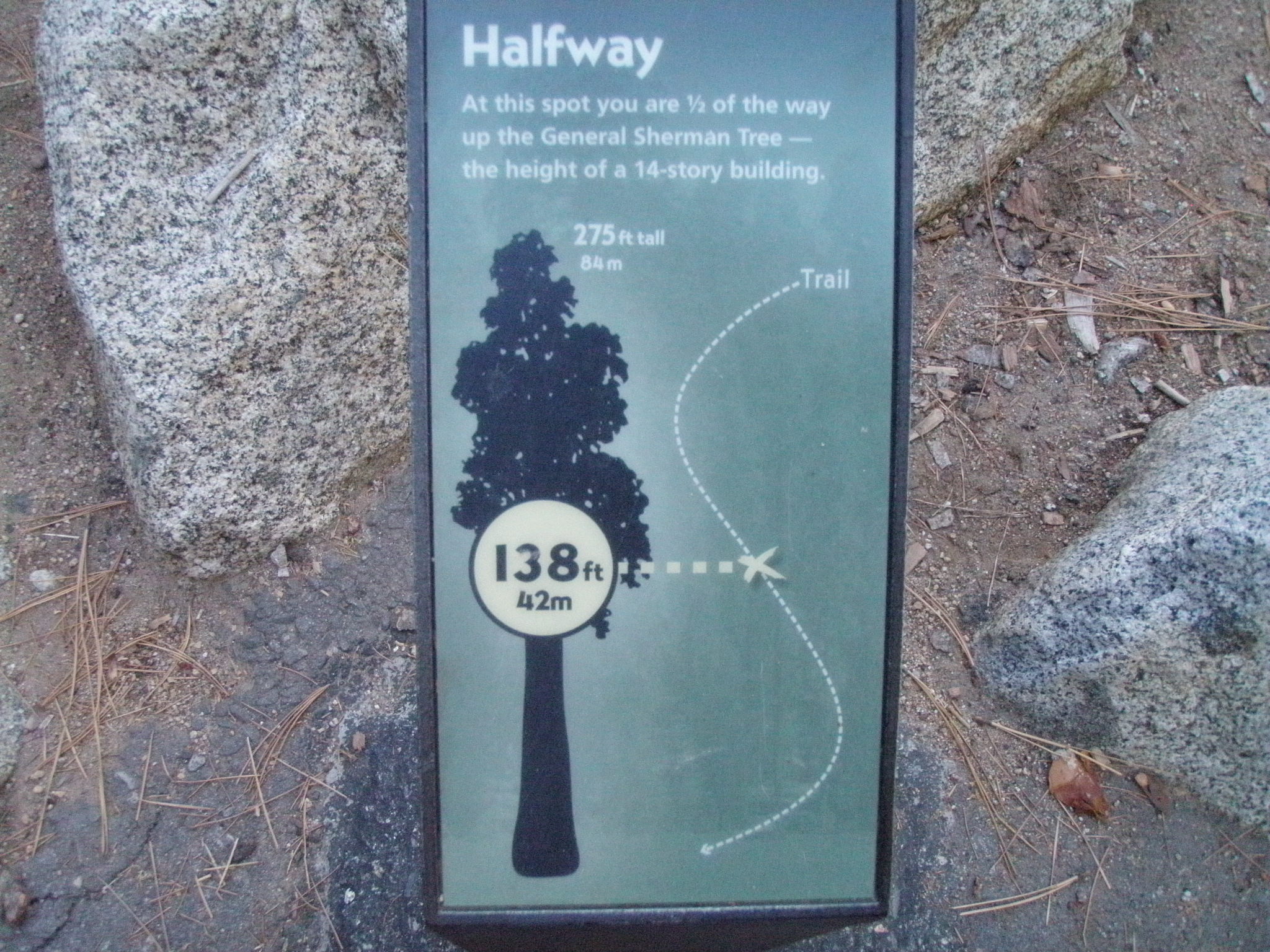
General Sherman Tree Trail: Halfway Point
~7 min drive
<p>This wayside exhibit, titled "Halfway Point," shows your location in relationship to the height of the General Sherman Tree.</p>