
Dixie's Lower Antelope Canyon Tours
Hiking business nearby (~8 mi away) — hasn't claimed their Roamze page yet
Free — you'll pick up right here.
Watch this trail
Sign up to watch it — saving subscribes you to gate, closure and report changes.
Arizona
3.9 mi
Distance
1,513 ft
Gain
2h 4m
Time
Weather is good
1 factor · 1 source
Observed 8 h ago
clear: Weather
Clouds, high 88°F / low 80°F, 0% precip — 85/100 for hike
OpenWeather8 h ago
Been out here in the last few days? One report keeps this current for everyone.
Why you'll love it
Spencer Trail
AI-suggested draft · review before you go
No permit or access details on file for this trail — check with the local land manager before you go.
Spencer Trail is a 3.9-mile out-and-back hike located in Arizona. The trail features 1,513 feet of elevation gain, making it a moderately challenging day hike. The route takes hikers through Arizona's landscape, with steady climbing throughout the journey. The out-and-back format means hikers will retrace their steps on the return, covering approximately 7.8 miles total when accounting for the full round trip. The elevation gain is distributed across the trail, providing a consistent workout for most fitness levels. This trail is suitable for hikers looking for a moderate challenge without requiring technical skills or specialized equipment. The Arizona setting offers typical desert or high desert conditions depending on the specific location within the state. Spencer Trail makes an excellent choice for a half-day adventure, allowing hikers to complete the round trip in a reasonable timeframe. Whether you're a local exploring Arizona's trail system or visiting the region, Spencer Trail delivers a straightforward hiking experience with meaningful elevation gain and varied terrain.
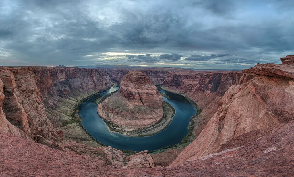
Horseshoe Bend on the Colorado River
~7 min drive
A social media darling, Horseshoe Bend has become one of the most recognized and visited places in Glen Canyon National Recreation Area. The parking lot and trailhead is located off US Highway 89, approximately 5 miles (8 km) south of the Carl Hayden Visitor Center. Changes a…
Cathedral Wash
~6 min drive
3.1 mi · Easy
Rimview Trail
~13 min drive
10 mi · Hard
Navajo Route 6110
~36 min drive
A 1.56-mile moderate out-and-back doubletrack trail in Arizona that connects to the GWT - US 89 Connector system.
Historic District River Trail
~0 min drive
Throughout the 1800 and 1900s, Lees Ferry was backdrop to a mix of Westward expansion dreams and failed schemes. Because of its strategic location along the Colorado River, unlikely groups overlapped on these shores. Miners, traders, U.S. government scientist, Church elders,…
Wildcat Tank Trail
~15 min drive
An easy 1.20-mile lollipop trail in Arizona ideal for casual hikers seeking a short desert walk.
Hayduke Trail #10
~45 min drive
Epic 148-mile remote backpacking route through Arizona wilderness.
Upper Ferry Trail
~1 min drive
Easy 0.84-mile out-and-back riverside walk in Arizona.
Great Western Trail - Arizona
~36 min drive
An easy 12.37-mile out-and-back hike on dirt road in Arizona, perfect for casual trail exploration.
Spencer Trail
~1 min drive
Rough mule trail for hauling Charles G. Spencer’s gold mining supplies. Built 1910 Spencer’s mining machinery needed fuel. As the rest of the miners hauled equipment to Lees Ferry, two men spend the fall of 1910 building a trail up this sheer cliff to a coalmine at Warm Cree…
Local operatorsoffering guided trips. You book directly with them — Roamze doesn’t take a cut.
Dixie's Lower Antelope Canyon Tours
Hiking business nearby (~8 mi away) — hasn't claimed their Roamze page yet
Antelope Slot Canyon Tours
Hiking business nearby (~8 mi away) — hasn't claimed their Roamze page yet
Tsé Bíghanílíní Tours
Hiking business nearby (~10 mi away) — hasn't claimed their Roamze page yet