
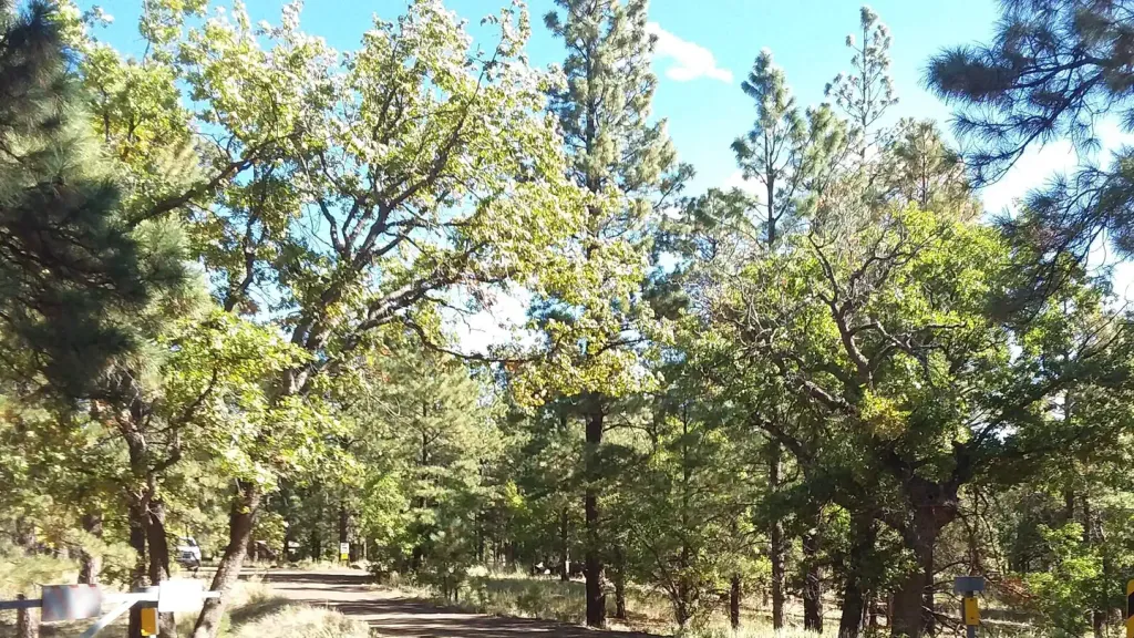
Village Camp
Hiking business nearby (~13 mi away) — hasn't claimed their Roamze page yet
Free — you'll pick up right here.
Watch this trail
Sign up to watch it — saving subscribes you to gate, closure and report changes.
Arizona
7.7 mi
Distance
2,221 ft
Gain
3h 41m
Time
We won't guess. Here is exactly what we do and don't know.
What we do know
Inside Kaibab National Forest
2 managing-area boundaries mapped — agency alerts for them feed this page automatically.
Boundary data
What's missing
No access route mapped
We don't yet know which road reaches this trailhead, so we can't tell you if it's gated.
Nobody's filed a report here yet — be the first.
Why you'll love it
Bull Basin Trail #40
AI-suggested draft · review before you go
Bull Basin Trail #40 is a 7.7-mile out-and-back trail located in Arizona and managed by the U.S. Forest Service. The route features 2,221 feet of elevation gain, making it a moderately challenging hike suitable for those with some hiking experience. The trail's out-and-back format means hikers will cover approximately 3.85 miles to reach the turnaround point, with elevation gain distributed across the route. The 2,221-foot elevation change provides a substantial workout while offering changing scenery and perspectives as you gain altitude. Being managed by the U.S. Forest Service, the trail is maintained as part of the national forest system. This designation typically ensures regular upkeep and adherence to forest management standards. Bull Basin Trail #40 is ideal for day hikes, offering a full day of hiking activity with the flexibility to turn back at any point if needed. The elevation gain and distance make it best suited for hikers with moderate fitness levels and trail experience. Plan accordingly with plenty of water and sun protection for this Arizona hiking adventure.

Humphreys Summit Trail #151
~21 min drive
9.7 mi · Moderate
Slate Mountain Trail #128
~6 min drive
4.4 mi · Easy
Beale Wagon Road Historic Trail #61
~13 min drive
17 mi · Hard
Arizona Trail-Saddle Mountain
~16 min drive
6.26-mile out-and-back trail in Arizona with 1090 ft elevation gain.
Humphreys Peak
~20 min drive
Standard route to Humphreys Peak (12,633 ft) from Humphreys Trailhead (Arizona Snowbowl).
Pumpkin Trail #39
~4 min drive
8.9 mi · Moderate
Kendrick Park Watchable Loop
~11 min drive
0.5 mi · Easy
Spring Valley Mtn. Bike
~14 min drive
14 mi · Hard
Arizona Trail
~17 min drive
A 4.45-mile out-and-back hike on the Arizona Trail, connecting to Passage 42 of this iconic trail system.
Kendrick Mountain Trail
~6 min drive
8.5 mi · Moderate
Local operatorsoffering guided trips. You book directly with them — Roamze doesn’t take a cut.
Village Camp
Hiking business nearby (~13 mi away) — hasn't claimed their Roamze page yet
Four Season Guides
Hiking business nearby (~20 mi away) — hasn't claimed their Roamze page yet
Wander Camp
Hiking business nearby (~25 mi away) — hasn't claimed their Roamze page yet