
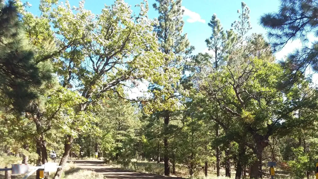
Village Camp
Hiking business nearby (~9 mi away) — hasn't claimed their Roamze page yet
Free — you'll pick up right here.
Watch this trail
Sign up to watch it — saving subscribes you to gate, closure and report changes.
Arizona
8.8 mi
Distance
3,212 ft
Gain
4h 34m
Time
An agency closure order is in effect for this area; weather is good
2 factors · 2 sources
Newest 13 h ago · oldest 7 d
problem: Agency alerts
12 active alerts in Flagstaff Ranger District; most severe: O'Leary access restricted 9/21-10/21; NPS Road 545 closed between SR 89 and Sunset Crater
USFS7 d ago
clear: Weather
Clouds, high 70°F / low 56°F, 0% precip — 97/100 for hike
OpenWeather13 h ago
Been out here in the last few days? One report keeps this current for everyone.
Why you'll love it
Humphreys Peak
AI-suggested draft · review before you go
No permit or access details on file for this trail — check with the local land manager before you go.
Humphreys Peak is an 8.8-mile out-and-back trail located in Arizona. This challenging route features 3,212 feet of elevation gain, making it a demanding hike suitable for experienced hikers. The trail ascends to Arizona's highest point, offering significant elevation change throughout the journey. The out-and-back format means hikers will retrace their steps on the return descent. With nearly 3,200 feet of elevation gain packed into the approach, the terrain is steep and strenuous. The high altitude and sustained climb require good physical conditioning and proper preparation. This trail is ideal for hikers seeking a substantial workout with considerable vertical relief. The round-trip distance of 8.8 miles combined with the significant elevation gain makes this a full-day commitment. Proper hydration, sun protection, and appropriate footwear are essential for tackling this Arizona peak. The remote location requires hikers to come prepared with necessary supplies and navigation tools.

Humphreys Summit Trail #151
~2 min drive
9.7 mi · Moderate
Aspen Nature Loop
~1 min drive
1.3 mi · Easy
Arizona Trail-Fort Valley
~6 min drive
2.62-mile out-and-back trail in Arizona with 383 ft elevation gain.
Rocky Moto
~7 min drive
7.7 mi · Hard
Kachina Trail #150
~1 min drive
11 mi · Moderate
Bismarck Lake
~5 min drive
2.1 mi · Easy
Tr 87G
~8 min drive
0.42-mile out-and-back trail in Arizona with 83 ft elevation gain.
Spring Mountain Trail
~9 min drive
6.9 mi · Hard
Taawa
~11 min drive
4.2 mi · Moderate
Gt
~6 min drive
2.5 mi · Easy
Local operatorsoffering guided trips. You book directly with them — Roamze doesn’t take a cut.
Village Camp
Hiking business nearby (~9 mi away) — hasn't claimed their Roamze page yet
Four Season Guides
Hiking business nearby (~10 mi away) — hasn't claimed their Roamze page yet
Rancho Sedona RV Park
Hiking business nearby (~32 mi away) — hasn't claimed their Roamze page yet