Loading trail…

Wayside: Slump or Debris Flow (Roadside)
Free — you'll pick up right here.
Watch this trail
Sign up to watch it — saving subscribes you to gate, closure and report changes.
Wyoming
We won't guess. Here is exactly what we do and don't know.
What we do know
Inside Fossil Butte National Monument
National Park unit boundary is mapped — agency alerts for it feed this page automatically.
Boundary data
What's missing
No access route mapped
We don't yet know which road reaches this trailhead, so we can't tell you if it's gated.
Nobody's filed a report here yet — be the first.
Wayside: Slump or Debris Flow (Roadside)
AI-suggested draft · review before you go
No elevation data on file for this trail.
Debris flows are most commonly known as landslides. For slumps, the soil moves slowly as a block, often coming to rest with trees and other plants still growing undisturbed. Use this sign to determine if the hill is an example of a debris flow or a slump.
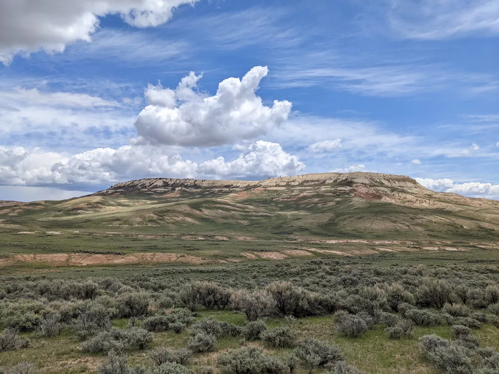
Fossil Butte
~4 min drive
A butte is a hill with steep sides and a flat top. Fossil Butte is named after the fossils that can be found in its top layers of rock.<br /> <br /> Fossil Butte sits just behind the visitor center and can be seen from the park road. While it appears to be a butte from these l…

South Fontenelle
~43 min drive
21 mi · Hard
Spruce Creek
~42 min drive
4.2 mi · Moderate
Devils Hole Lakes
~56 min drive
2.0 mi · Easy
Wayside: Why the Rocks of Rubey Point are Curved
~1 min drive
Rubey Point curves up from the rest of the ridge. Find out how fault lines play a role.
Nugent
~35 min drive
28 mi · Hard
Little Bear
~46 min drive
4.7 mi · Moderate
Limber Pine Nature
~1h 1m drive
Easy alpine forest walk through limber pine ecosystem.
Wayside: Geology's Effect on Ecology
~3 min drive
A micro-environment of aspens and conifers is able to survive on this hillside due to geology's effect on the landscape.
Hams Fork Ridge
~36 min drive
15 mi · Hard