
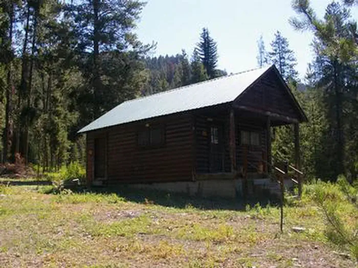
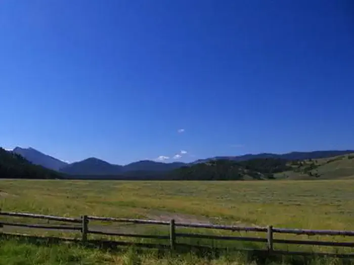
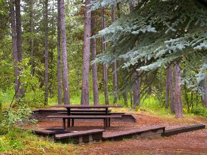
Greys River Cove
Hiking business nearby (~11 mi away) — hasn't claimed their Roamze page yet
Free — you'll pick up right here.
Watch this trail
Sign up to watch it — saving subscribes you to gate, closure and report changes.
Wyoming
62.8 mi
Distance
2,728 ft
Gain
22h 17m
Time
We won't guess. Here is exactly what we do and don't know.
What we do know
Inside Bridger-Teton National Forest
2 managing-area boundaries mapped — agency alerts for them feed this page automatically.
Boundary data
What's missing
No access route mapped
We don't yet know which road reaches this trailhead, so we can't tell you if it's gated.
Nobody's filed a report here yet — be the first.
Why you'll love it
Way Trail
AI-suggested draft · review before you go
No permit or access details on file for this trail — check with the local land manager before you go.
Way Trail is a 63.7-mile out-and-back hiking route located in Wyoming. This substantial backcountry trek offers experienced hikers an extended wilderness experience through the state's remote terrain. The out-and-back format means hikers will cover approximately 31.85 miles to reach the turnaround point before returning via the same route. As an out-and-back trail, Way Trail provides flexibility for hikers to adjust their distance based on fitness level and available time. This trail is best suited for those prepared for multi-day backpacking trips, as the full distance represents a significant undertaking. Hikers should come equipped with proper navigation tools, sufficient water and supplies, and wilderness experience appropriate to backcountry conditions. The trail traverses Wyoming's landscape, offering solitude and exposure to undeveloped country. Given the trail's length and remote character, visitors should check current conditions and any necessary permits before heading out. Plan accordingly for weather, which can change rapidly in alpine and high-elevation terrain.

Stump Lake-Stewart
~1 min drive
14 mi · Hard

Station Creek
~17 min drive
2.7 mi · Easy
Hotfoot Creek
~2 min drive
5.0 mi · Moderate

Cedar Creek
~14 min drive
6.2 mi · Hard
Valley View
~13 min drive
1.8 mi · Easy
Big Spring
~14 min drive
5.0 mi · Moderate
Trail Creek
~15 min drive
11 mi · Hard
Vista-Prator
~14 min drive
2.5 mi · Easy
Pickle Pass
~15 min drive
3.5 mi · Moderate
East Table Creek
~18 min drive
14 mi · Hard
Local operatorsoffering guided trips. You book directly with them — Roamze doesn’t take a cut.
Greys River Cove
Hiking business nearby (~11 mi away) — hasn't claimed their Roamze page yet
The Virginian RV Park
Hiking business nearby (~28 mi away) — hasn't claimed their Roamze page yet