Loading trail…

Free — you'll pick up right here.
Watch this trail
Sign up to watch it — saving subscribes you to gate, closure and report changes.
Wyoming
1.9 mi
Distance
56 ft
Gain
40 min
Time
We won't guess. Here is exactly what we do and don't know.
What we do know
Inside Bighorn National Forest
2 managing-area boundaries mapped — agency alerts for them feed this page automatically.
Boundary data
What's missing
No access route mapped
We don't yet know which road reaches this trailhead, so we can't tell you if it's gated.
Nobody's filed a report here yet — be the first.
Why you'll love it
Upper Wolf
AI-suggested draft · review before you go
No permit or access details on file for this trail — check with the local land manager before you go.
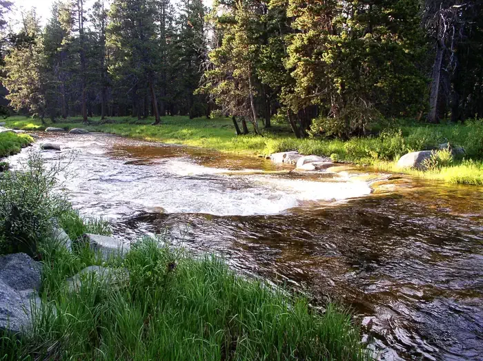
Upper Wolf is a 1.6-mile out-and-back trail located in Wyoming. This short route offers an accessible option for hikers looking for a quick excursion in the area. The trail's modest distance makes it suitable for visitors with varying fitness levels or those with limited time. The out-and-back format means hikers will follow the same path to return to the starting point, allowing for a straightforward navigation experience. With just 1.6 miles total distance, the round trip covers approximately 3.2 miles of hiking. Upper Wolf is ideal for a brief nature walk or as part of a larger day spent exploring multiple trails in the Wyoming region. The trail's short length makes it a good option for families or those looking to ease into a hiking routine.

Steamboat Point
~9 min drive
1.2 mi · Hard

Prune Creek
~10 min drive
1.4 mi · Easy

Big Goose Canyon
~10 min drive
3.9 mi · Moderate

West Pass Stock
~29 min drive
8.9 mi · Hard

Rhinehart Lakes
~27 min drive
1.4 mi · Easy
Gloom Creek Headwaters
~6 min drive
3.8 mi · Moderate
Hendrick Ridge Crossover
~4 min drive
2.8 mi · Hard
Duncan Lake
~29 min drive
0.7 mi · Easy
Cutler Hill
~12 min drive
4.4 mi · Moderate
Hendrick Ridge
~5 min drive
8.9 mi · Hard