
The Virginian RV Park
Hiking business nearby (~37 mi away) — hasn't claimed their Roamze page yet
Free — you'll pick up right here.
Watch this trail
Sign up to watch it — saving subscribes you to gate, closure and report changes.
Wyoming
5.3 mi
Distance
170 ft
Gain
1h 51m
Time
We won't guess. Here is exactly what we do and don't know.
What we do know
Inside Bridger-Teton National Forest
2 managing-area boundaries mapped — agency alerts for them feed this page automatically.
Boundary data
What's missing
No access route mapped
We don't yet know which road reaches this trailhead, so we can't tell you if it's gated.
Nobody's filed a report here yet — be the first.
Why you'll love it
Turpin Meadows Xc-Back 40
AI-suggested draft · review before you go
No permit or access details on file for this trail — check with the local land manager before you go.
Turpin Meadows Xc-Back 40 is a 5.3-mile out-and-back trail located in Wyoming. This backcountry route takes hikers through the scenic Turpin Meadows area, offering a moderate adventure for those seeking to explore Wyoming's natural landscape. The out-and-back format means you'll retrace your steps on the return journey, covering approximately 10.6 miles round trip. The trail traverses through meadow terrain characteristic of the region, providing opportunities to experience the open expanses and wildlife habitat that define this part of Wyoming. This route is suitable for hikers looking for a backcountry experience without technical difficulty. Before heading out, be sure to check current trail conditions and obtain any necessary permits or passes required for the area. Bring adequate water and supplies for the full distance, as amenities along backcountry routes are typically limited. The out-and-back format allows for flexible turnaround times if you prefer a shorter outing than the full distance.

North Buffalo Fork Trail
~16 min drive
20 mi · Hard
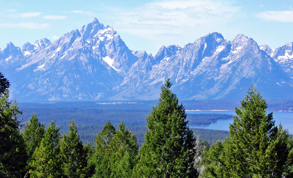
East Boundary Turnout
~18 min drive
<p>Stop and grab a photo with the iconic wooden "Grand Teton National Park" sign at our eastern boundary and enjoy some of your first views of the Teton Mountain Range. For visitors driving in from places like Dubois, Lander, and Riverton, this is where you will first cross in…
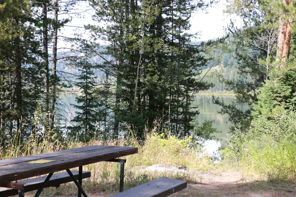
Two Ocean Lake Picnic Area
~21 min drive
<p>Two Ocean Lake picnic area is next to the parking lot and trailhead. The facilities include a few tables, vault toilet, and trash recepticals. Conifer trees provide some shade and the lake is visible through them. Some visitors will carry their canoe or kayak through the sh…

Angles Trail
~6 min drive
5.2 mi · Moderate

Soda Fork Trail
~18 min drive
21 mi · Hard
Moran Entrance Station
~22 min drive
<p>The Moran Entrance Station is one of four entrances to Grand Teton National Park. Coming from the town of Jackson, drive 30 miles north on US Highway 89/191/26 before turning west to continue on US Highway 89/191/287 to the northern area of the park and the south entrance o…

Rainbow Lake Trail
~22 min drive
0.7 mi · Easy
Turpin Meadows Xc-Mule Pasture
~1 min drive
4.0 mi · Moderate

Upper S Fk
~19 min drive
7.1 mi · Hard
A River's Story
~22 min drive
The Snake River is a dynamic force of nature that has sustained life for thousands of years. The Shoshone, Bannock, and other tribes have long lived along its shores. And the shores are ever-changing—the Snake River carves new routes every year, riverbanks erode, and flow rate…
Local operatorsoffering guided trips. You book directly with them — Roamze doesn’t take a cut.
The Virginian RV Park
Hiking business nearby (~37 mi away) — hasn't claimed their Roamze page yet