Loading trail…

The Gallatin Range
Free — you'll pick up right here.
Watch this trail
Sign up to watch it — saving subscribes you to gate, closure and report changes.
Wyoming
We won't guess. Here is exactly what we do and don't know.
What we do know
Inside Yellowstone National Park
National Park unit boundary is mapped — agency alerts for it feed this page automatically.
Boundary data
What's missing
No access route mapped
We don't yet know which road reaches this trailhead, so we can't tell you if it's gated.
Nobody's filed a report here yet — be the first.
The Gallatin Range
AI-suggested draft · review before you go
No elevation data on file for this trail.
This view from this relatively flat meadow known as Swan Lake Flat gives a commanding view of Swan Lake and the Gallatin Range to the west. The peaks visible from this location while looking to the west are (from south to north): Trilobite Point (10,010 feet / 3,051 m) Mount Holmes (10,335 feet / 3,150 m) Dome Mountain (9,826 feet / 2,995 m) Antler Peak (10,063 feet / 3,067 m) Quadrant Mountain (9,957 feet / 3,035 m) Electric Peak (10,968 feet / 3,343 m) Sepulcher Mountain (9,642 feet / 2,939 m)

Bunsen Peak Trail
~1 min drive
8.4 mi · Moderate
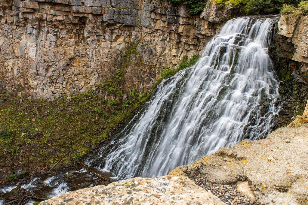
Golden Gate
~2 min drive
<p>The development of a road system was essential in making Yellowstone more accessible to the public.</p> <p>Engineer Hiram Chittenden replaced many wooden bridges with steel or concrete throughout the park. His most difficult project was the replacement of the rickety trestl…
Yellowstone River
~15 min drive
Scenic 5.5-mile riverside hike with steady elevation gain in the Yellowstone region.
Beattie Gulch
~18 min drive
Challenging 11-mile gulch hike with 2,900 ft elevation gain in remote Montana.
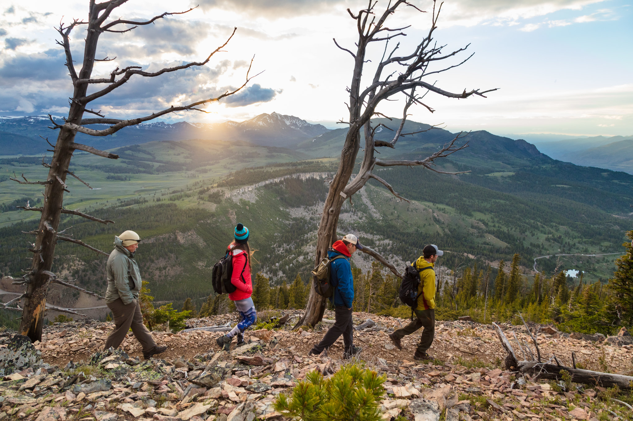
Bunsen Peak Trailhead (1K4)
~1 min drive
Bunsen Peak prominently sits south of Mammoth Hot Springs. From this trailhead, you can embark on the following trails: Bunsen Peak Trail Bunsen Peak Road Trail Osprey Falls Trail Parking is limited. Winter trailhead access requires a snow coach drop-off, or skiing up from…
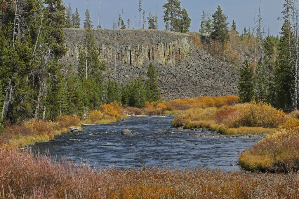
Sheepeater Cliff
~3 min drive
<p>Sheepeater Cliff is made up of columnar basalt deposited by lava flows roughly 500,000 years ago. The Gardner River flows through the valley, exposing the flow and forming the cliff. The basalt of Sheepeater Cliff are known as columnar basalt due to the hexagonal fracture l…
Maiden Falls
~17 min drive
Easy waterfall hike with modest elevation gain near Maiden Falls, Montana.
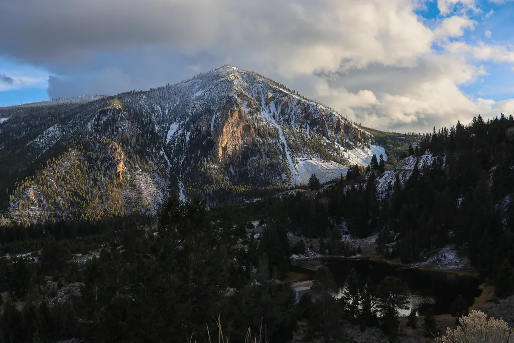
Bunsen Peak Overlook
~4 min drive
<p>Bunsen Peak prominently sits south of Mammoth Hot Springs. From this trailhead, you can embark on the following trails:</p> <ul> <li>Bunsen Peak Trail</li> <li>Bunsen Peak Road Trail</li> <li>Osprey Falls Trail</li> </ul> <p>Parking is limited. Winter trailhead access requi…
White Elephant Back Terrace
~5 min drive
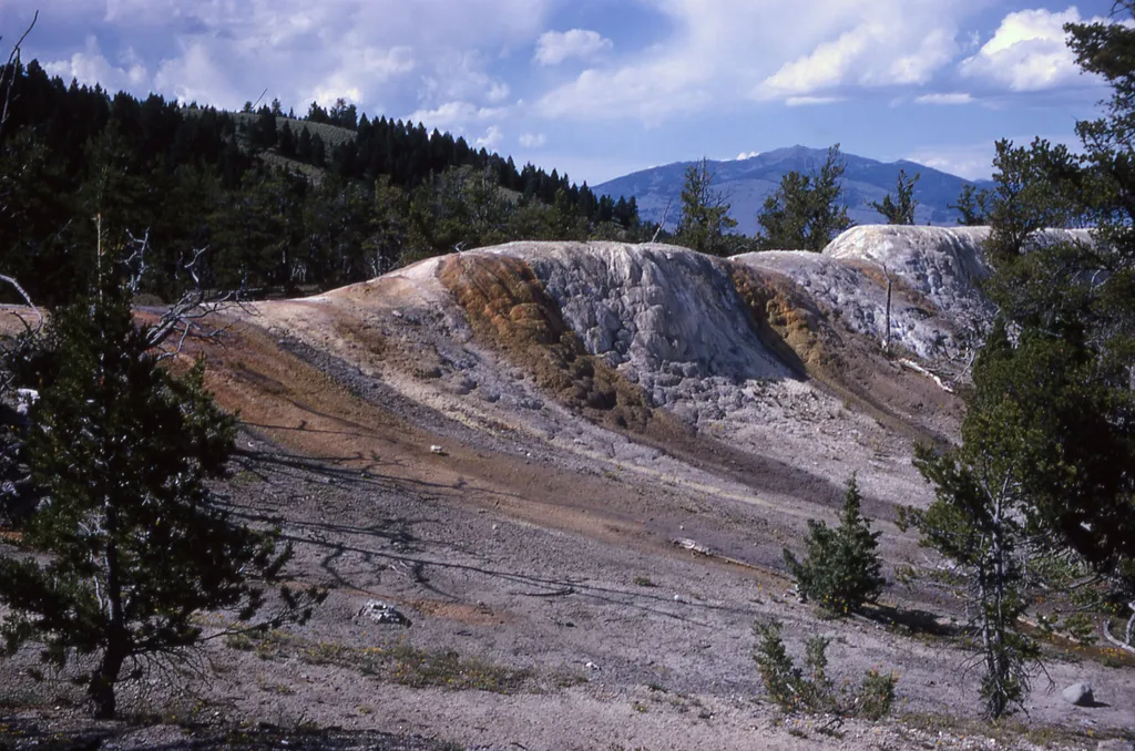
A fissure right through this part of the Upper Terrace of Mammoth Hot Springs allows hot water saturated with calcium carbonate to reach the surface. The calcium carbonate precipitates out of the water to form a terrace along the entire length of the fissure.

Osprey Falls Trail
~5 min drive
7.8 mi · Moderate