
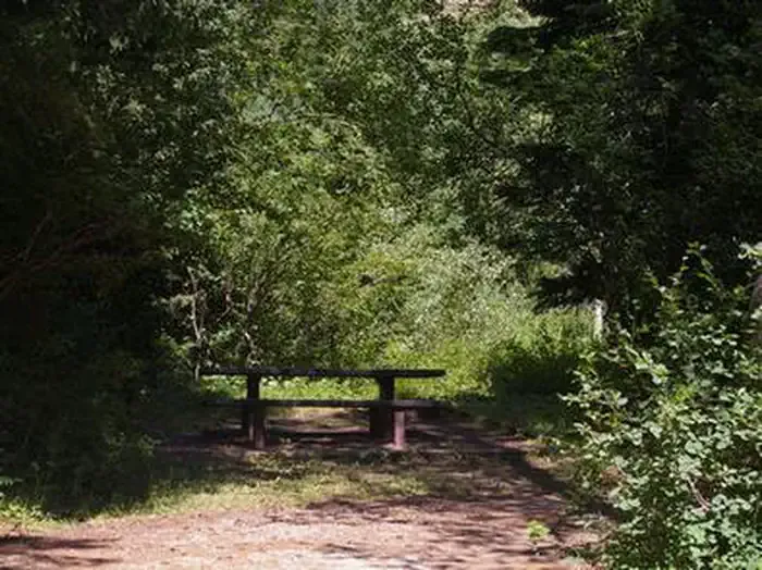
The Virginian RV Park
Hiking business nearby (under a mile away) — hasn't claimed their Roamze page yet
Free — you'll pick up right here.
Watch this trail
Sign up to watch it — saving subscribes you to gate, closure and report changes.
Wyoming
4.5 mi
Distance
306 ft
Gain
1h 39m
Time
We won't guess. Here is exactly what we do and don't know.
What we do know
Inside Bridger-Teton National Forest
2 managing-area boundaries mapped — agency alerts for them feed this page automatically.
Boundary data
What's missing
No access route mapped
We don't yet know which road reaches this trailhead, so we can't tell you if it's gated.
Nobody's filed a report here yet — be the first.
Why you'll love it
Sink or Swim
AI-suggested draft · review before you go
No permit or access details on file for this trail — check with the local land manager before you go.
Sink or Swim is a 4.5-mile out-and-back trail located in Wyoming. This trail offers a straightforward there-and-back route, making it accessible for hikers looking for a moderate distance outing. The trail's distinctive name suggests an adventurous character, though hikers should come prepared for variable conditions typical of Wyoming terrain. As an out-and-back trail, you'll cover approximately 2.25 miles to reach the turnaround point before retracing your steps. The total distance of 4.5 miles makes this suitable for half-day hikes. Specific elevation gain data is not available, so it's recommended to contact local hiking resources or visitor centers for detailed information about terrain difficulty and elevation changes. Before heading out, check current trail conditions and bring adequate water and supplies. The Wyoming location means weather can change quickly, so pack accordingly. Local ranger stations or the Wyoming tourism board can provide additional details about trailhead access, seasonal considerations, and any permits required for this area.

Kellys Trail
~0 min drive
1.4 mi · Easy
Josies Ridge
~0 min drive
4.5 mi · Moderate

Skyline Tr
~3 min drive
12 mi · Hard
South Boundary Turnout
~11 min drive
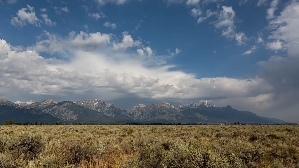
<p>Although not the actual southern boundary of the park, this turnout is your first opportunity to get a picture with the iconic Grand Teton National Park sign with sweeping views of the Teton range in the background. The turnout is about four miles north of the town of Jacks…
Kc Trail
~0 min drive
2.0 mi · Easy
South Fork Leeks Canyon
~2 min drive
3.5 mi · Moderate

Putt - Putt Trail
~4 min drive
8.9 mi · Hard
Gros Ventre Pathway Hub
~14 min drive
<p>The Gros Ventre Pathway Hub is one of many locations along the multi-use pathway where you can start or end your bike ride. If starting from this location, use the small parking lot east of the roundabout along Gros Ventre Road. Heading north will take you to Moose Junction…
Snow King Nature Trail
~2 min drive
0.6 mi · Easy

Sidewalk
~4 min drive
3.0 mi · Moderate
Local operatorsoffering guided trips. You book directly with them — Roamze doesn’t take a cut.
The Virginian RV Park
Hiking business nearby (under a mile away) — hasn't claimed their Roamze page yet
Greys River Cove
Hiking business nearby (~24 mi away) — hasn't claimed their Roamze page yet