
The Virginian RV Park
Hiking business nearby (~31 mi away) — hasn't claimed their Roamze page yet
Free — you'll pick up right here.
Watch this trail
Sign up to watch it — saving subscribes you to gate, closure and report changes.
Wyoming
14.8 mi
Distance
982 ft
Gain
5h 26m
Time
We won't guess. Here is exactly what we do and don't know.
What we do know
Inside Bridger-Teton National Forest
2 managing-area boundaries mapped — agency alerts for them feed this page automatically.
Boundary data
What's missing
No access route mapped
We don't yet know which road reaches this trailhead, so we can't tell you if it's gated.
Nobody's filed a report here yet — be the first.
Why you'll love it
S Fk Spread Cr (Rd) Sm Tr
AI-suggested draft · review before you go
No permit or access details on file for this trail — check with the local land manager before you go.
S Fk Spread Cr (Rd) Sm Tr is a 29.6-mile out-and-back trail located in Wyoming. This trail follows the South Fork of Spread Creek and offers an extended backcountry experience for hikers seeking distance and solitude. The out-and-back format means hikers will cover approximately 14.8 miles to reach the turnaround point before retracing their route. The trail utilizes an existing road for at least a portion of its route, providing a different hiking experience than traditional single-track paths. This road component may offer easier footing in some sections, though the overall distance demands solid endurance and fitness. The remote Wyoming setting provides authentic backcountry conditions. Given the trail's length and rural location, hikers should prepare for self-sufficiency, including adequate water, food, and navigation tools. Depending on season and weather conditions, trail access and surface conditions may vary significantly. This trail is best suited for experienced hikers comfortable with long distances and self-reliant backcountry travel. Plan accordingly with proper gear and realistic time estimates for the full 29.6-mile journey.

Upper S Fk
~9 min drive
7.1 mi · Hard
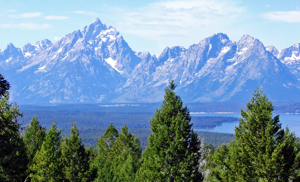
East Boundary Turnout
~15 min drive
<p>Stop and grab a photo with the iconic wooden "Grand Teton National Park" sign at our eastern boundary and enjoy some of your first views of the Teton Mountain Range. For visitors driving in from places like Dubois, Lander, and Riverton, this is where you will first cross in…

Lavender Hills
~22 min drive
4.9 mi · Moderate
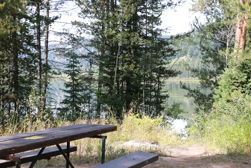
Two Ocean Lake Picnic Area
~22 min drive
<p>Two Ocean Lake picnic area is next to the parking lot and trailhead. The facilities include a few tables, vault toilet, and trash recepticals. Conifer trees provide some shade and the lake is visible through them. Some visitors will carry their canoe or kayak through the sh…

Grizzly Lake
~21 min drive
8.1 mi · Hard
Moran Entrance Station
~19 min drive
<p>The Moran Entrance Station is one of four entrances to Grand Teton National Park. Coming from the town of Jackson, drive 30 miles north on US Highway 89/191/26 before turning west to continue on US Highway 89/191/287 to the northern area of the park and the south entrance o…

Angles Trail
~12 min drive
5.2 mi · Moderate
Dallas Fork
~11 min drive
2.7 mi · Easy
South Fork Spread Creek
~11 min drive
11 mi · Hard
A River's Story
~19 min drive
The Snake River is a dynamic force of nature that has sustained life for thousands of years. The Shoshone, Bannock, and other tribes have long lived along its shores. And the shores are ever-changing—the Snake River carves new routes every year, riverbanks erode, and flow rate…
Local operatorsoffering guided trips. You book directly with them — Roamze doesn’t take a cut.
The Virginian RV Park
Hiking business nearby (~31 mi away) — hasn't claimed their Roamze page yet