Loading trail…

Free — you'll pick up right here.
Watch this trail
Sign up to watch it — saving subscribes you to gate, closure and report changes.
Wyoming
12.6 mi
Distance
2,802 ft
Gain
5h 36m
Time
We won't guess. Here is exactly what we do and don't know.
What we do know
Inside Shoshone National Forest
2 managing-area boundaries mapped — agency alerts for them feed this page automatically.
Boundary data
What's missing
No access route mapped
We don't yet know which road reaches this trailhead, so we can't tell you if it's gated.
Nobody's filed a report here yet — be the first.
Why you'll love it
Grizzly Ridge Trail
AI-suggested draft · review before you go
No permit or access details on file for this trail — check with the local land manager before you go.
Grizzly Ridge Trail is a 12.6-mile out-and-back hiking route located in Wyoming. This trail offers hikers an extended backcountry experience through the region's natural landscape. The out-and-back format means hikers will cover approximately 6.3 miles to reach the turnaround point before returning via the same route, totaling the full 12.6-mile distance. The trail is situated in Wyoming's diverse terrain, providing access to ridge hiking opportunities that characterize the area. As an out-and-back route, the trail allows hikers flexibility in how far they venture before returning, making it adaptable for different fitness levels and time constraints. Hikers planning this route should prepare for a moderate to strenuous full-distance hike. The trail's proximity to Wyoming's natural features makes it suitable for those seeking solitude and immersion in the backcountry environment. Standard hiking preparation—including adequate water, navigation tools, and weather-appropriate gear—is recommended.

Nameit Cr Trail
~3 min drive
6.0 mi · Hard
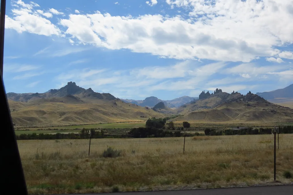
Four Bear Mountain Trail
~13 min drive
3.0 mi · Moderate

Clocktower Cr Trail
~4 min drive
4.6 mi · Hard

Libby Cr Trail
~26 min drive
9.9 mi · Moderate
Pagoda Cr Trail
~5 min drive
8.7 mi · Hard
Table Mountain
~9 min drive
9.2 mi · Moderate

Grace Creek Trail
~8 min drive
4.8 mi · Hard
Jim Mountain Cutaccross
~10 min drive
4.7 mi · Moderate
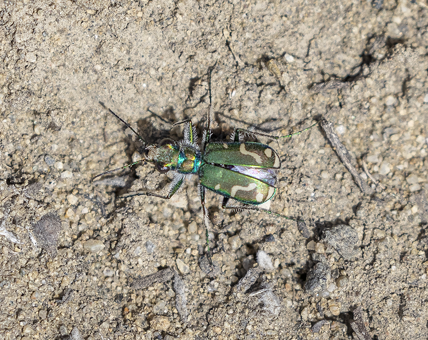
Jim Mountain Trail
~10 min drive
17 mi · Hard
Clearwater Cr Trail
~11 min drive
6.5 mi · Moderate