
The Virginian RV Park
Hiking business nearby (~8 mi away) — hasn't claimed their Roamze page yet
Free — you'll pick up right here.
Watch this trail
Sign up to watch it — saving subscribes you to gate, closure and report changes.
Wyoming
13.6 mi
Distance
1,806 ft
Gain
5h 27m
Time
We won't guess. Here is exactly what we do and don't know.
What we do know
Inside Bridger-Teton National Forest
2 managing-area boundaries mapped — agency alerts for them feed this page automatically.
Boundary data
What's missing
No access route mapped
We don't yet know which road reaches this trailhead, so we can't tell you if it's gated.
Nobody's filed a report here yet — be the first.
Why you'll love it
Goodwin Lake
AI-suggested draft · review before you go
No permit or access details on file for this trail — check with the local land manager before you go.
Goodwin Lake is a 13.6-mile out-and-back trail located in Wyoming. This backcountry route takes hikers through the natural landscape characteristic of the region, with the turnaround point at Goodwin Lake itself. The trail's out-and-back format means hikers will cover approximately 6.8 miles each direction to reach the lake and return to the trailhead. The moderate distance makes this a full-day hiking commitment for most visitors. Given the trail's length and wilderness setting, hikers should plan accordingly with adequate water, supplies, and daylight hours. The terrain and conditions are typical for Wyoming backcountry hiking. This trail is suitable for hikers with moderate endurance and experience on longer routes. The out-and-back design allows for flexible turnaround options if needed before reaching the lake. Visitors should check current conditions and obtain any necessary permits or maps from local land management agencies before heading out.

Sheep Creek
~1 min drive
6.3 mi · Hard

Crystal Butte
~9 min drive
2.3 mi · Easy

Woods Canyon
~10 min drive
5.3 mi · Moderate
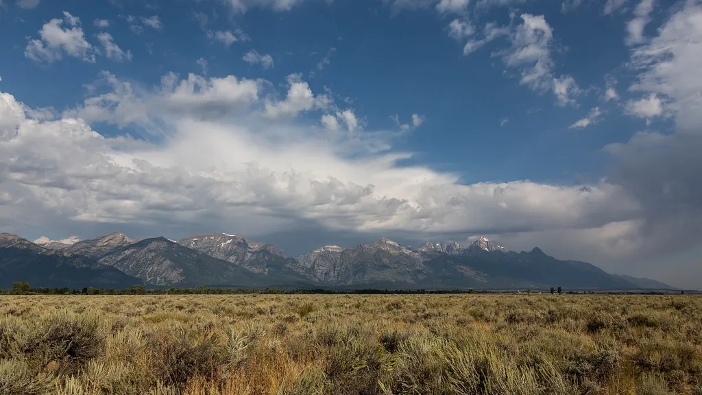
South Boundary Turnout
~10 min drive
<p>Although not the actual southern boundary of the park, this turnout is your first opportunity to get a picture with the iconic Grand Teton National Park sign with sweeping views of the Teton range in the background. The turnout is about four miles north of the town of Jacks…
Putt - Putt Trail
~10 min drive
8.9 mi · Hard

River Trail
~10 min drive
1.1 mi · Easy
Cache Creek
~10 min drive
11 mi · Moderate
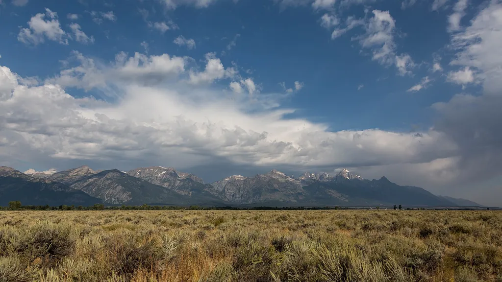
Gros Ventre Pathway Hub
~12 min drive
<p>The Gros Ventre Pathway Hub is one of many locations along the multi-use pathway where you can start or end your bike ride. If starting from this location, use the small parking lot east of the roundabout along Gros Ventre Road. Heading north will take you to Moose Junction…

Skyline Tr
~12 min drive
12 mi · Hard
Shade Monkey
~12 min drive
1.5 mi · Easy
Local operatorsoffering guided trips. You book directly with them — Roamze doesn’t take a cut.
The Virginian RV Park
Hiking business nearby (~8 mi away) — hasn't claimed their Roamze page yet
Greys River Cove
Hiking business nearby (~30 mi away) — hasn't claimed their Roamze page yet